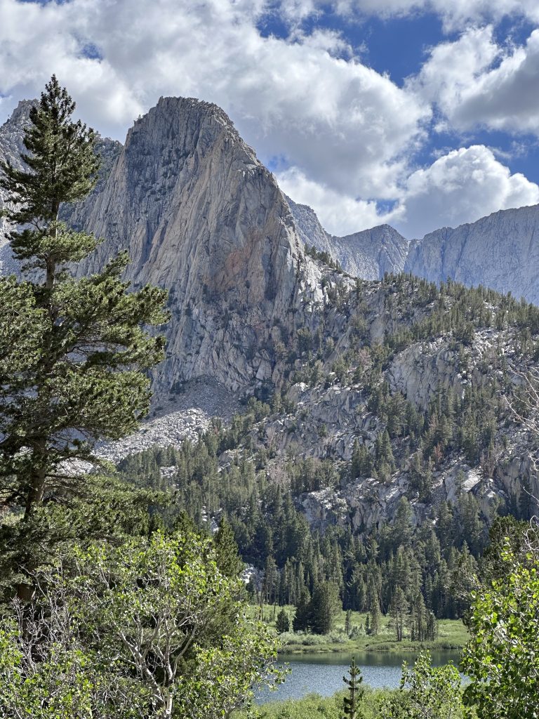
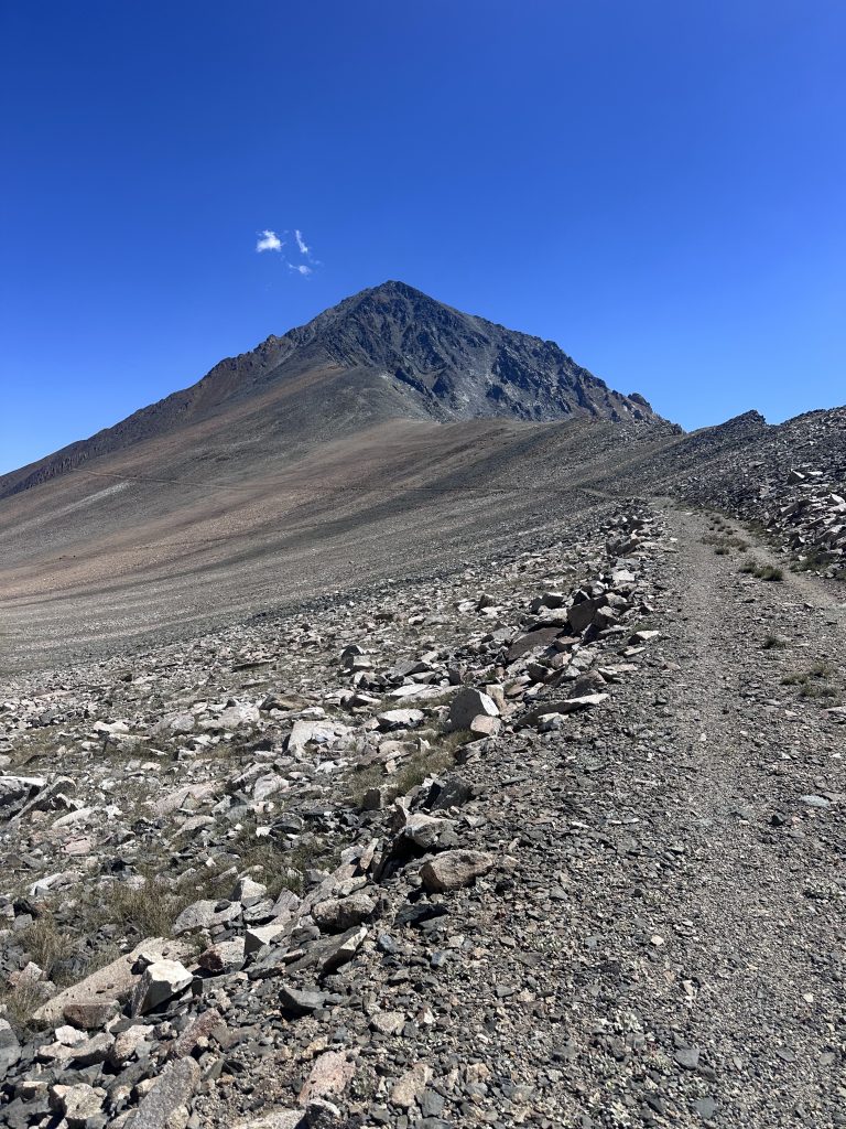
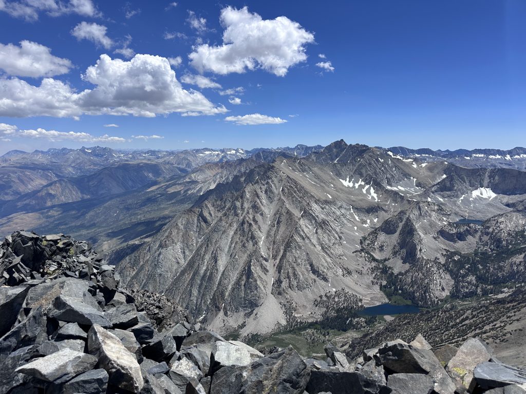
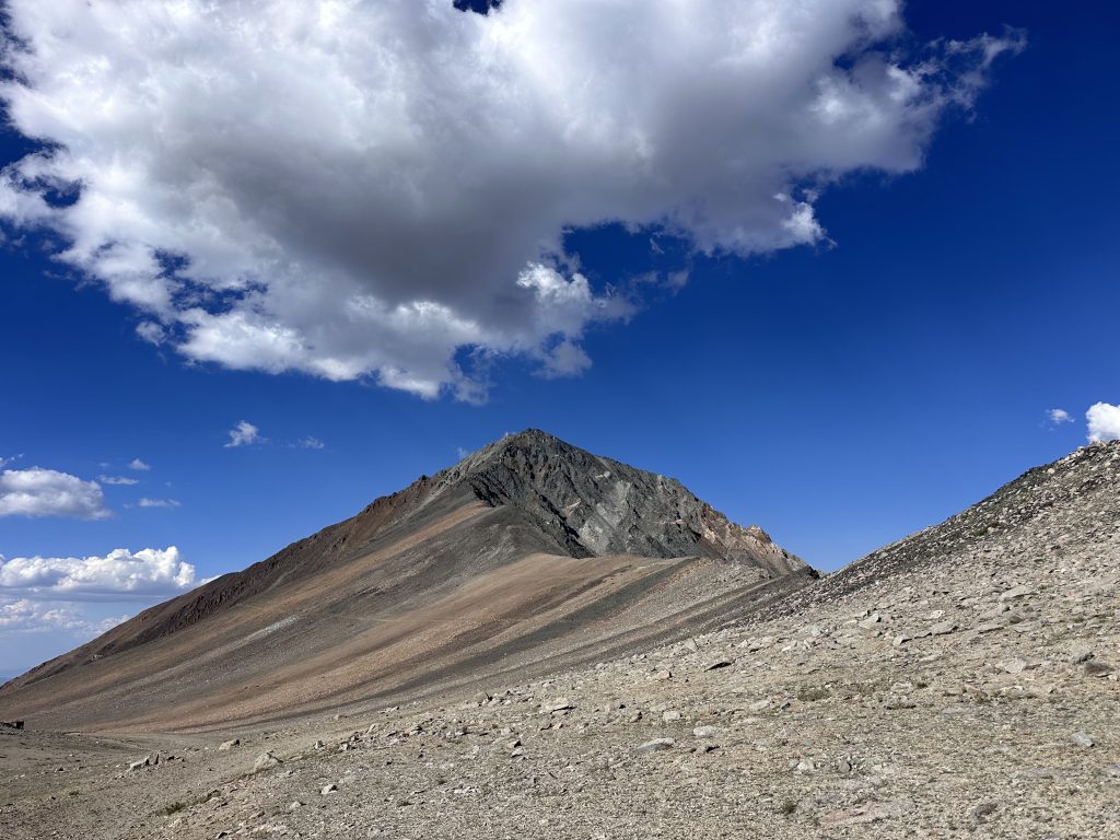
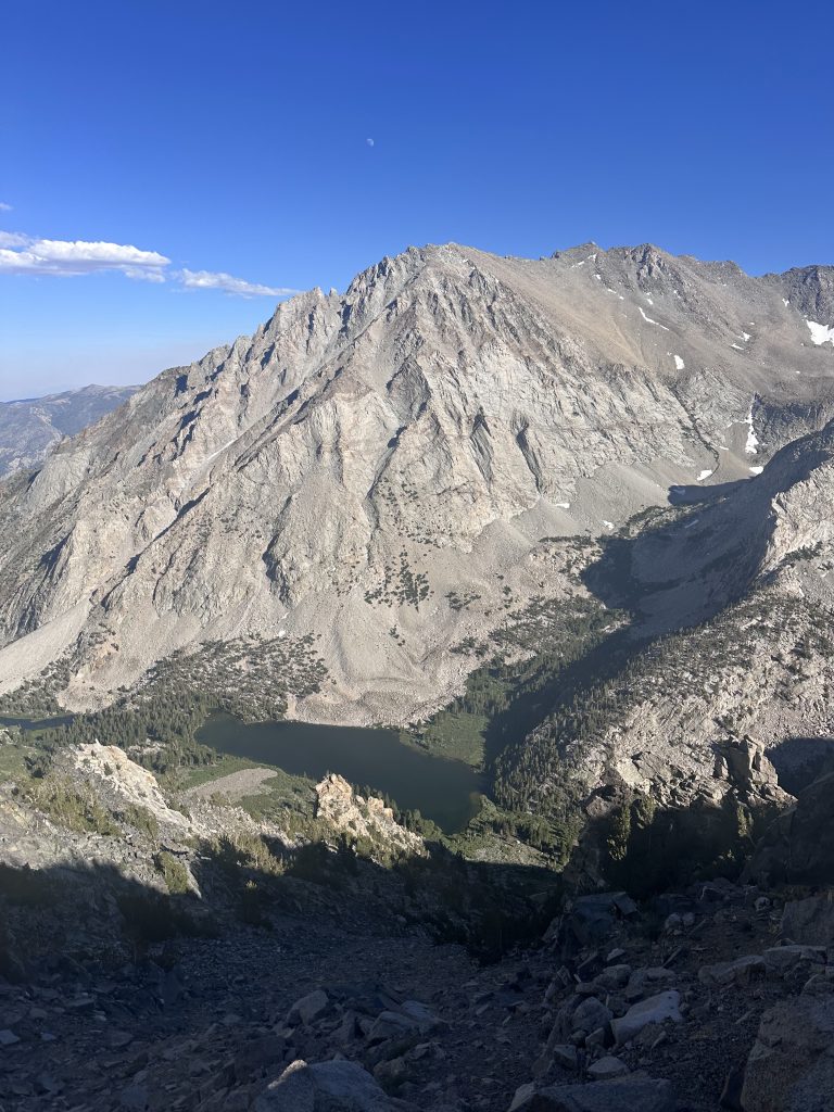
Secor says, \"Mount Tom: This is the enormous mountain west of Bishop.\" He is not joking...this is truly an enormous mountain! When you drive 395 near Bishop, it is the huge pyramidal peak which taunts you.
Our original plan and permit was to hike up Shepard Pass and head up Caltech, Polychrome, and Junction, but HHHR model showed that we would get hammered by thunder stoms and lightning on day 2 of this suffer-fest. So we made a new plan to go up Taboose Pass to go for Cardinal and Goodale...but the day before we would start, a fire erupted which closed the trailhead. Apparently, the universe really does not want us to go to the Sierra. Ignoring these signs, and after a few seconds of thought, we had a new plan: Mt Tom! that\'s a big bastard I always wanted to get ontop!
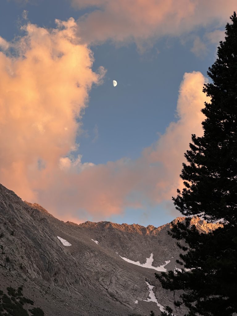
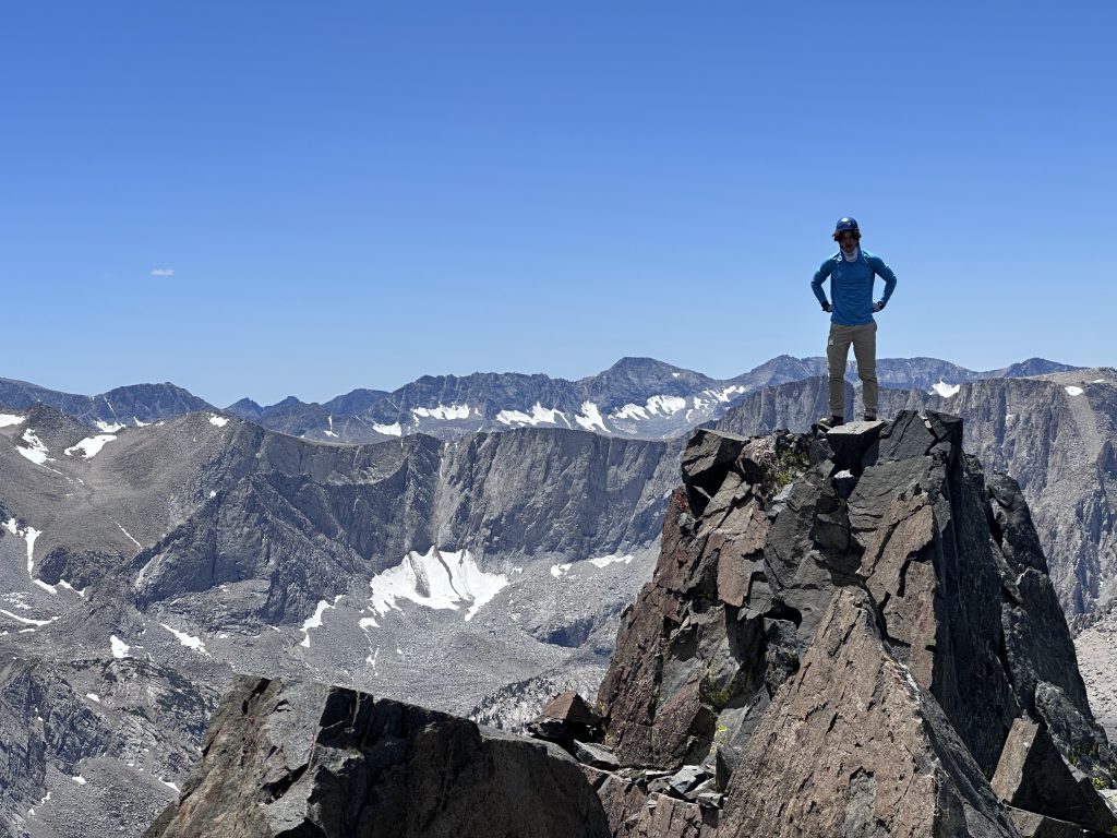
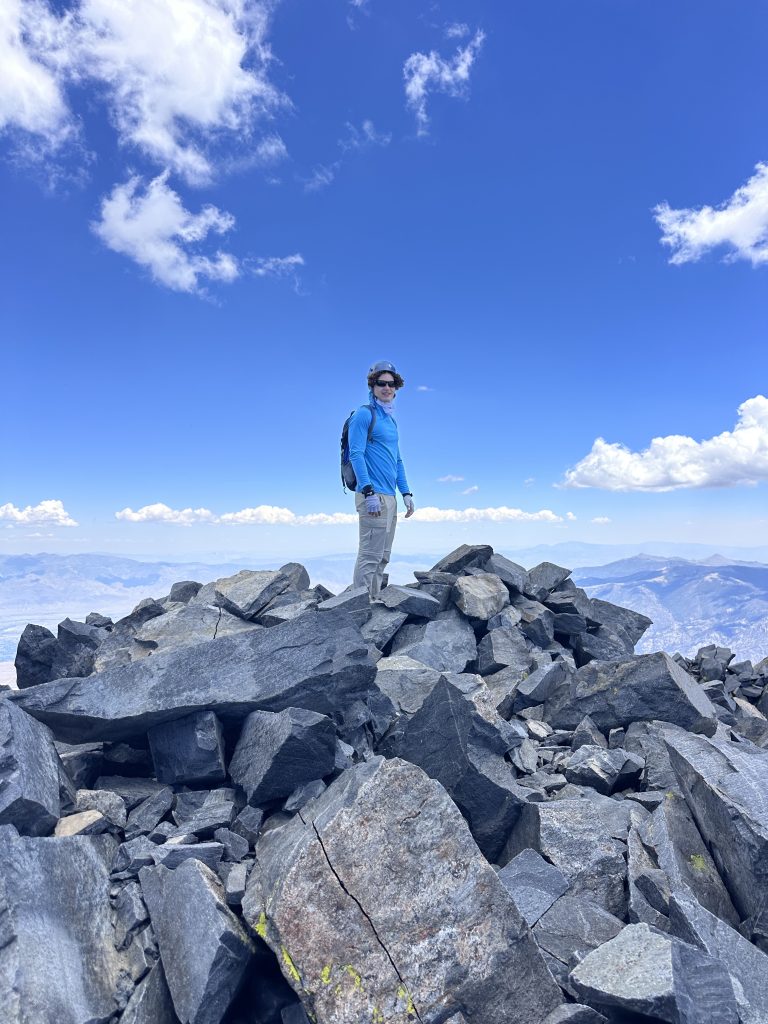
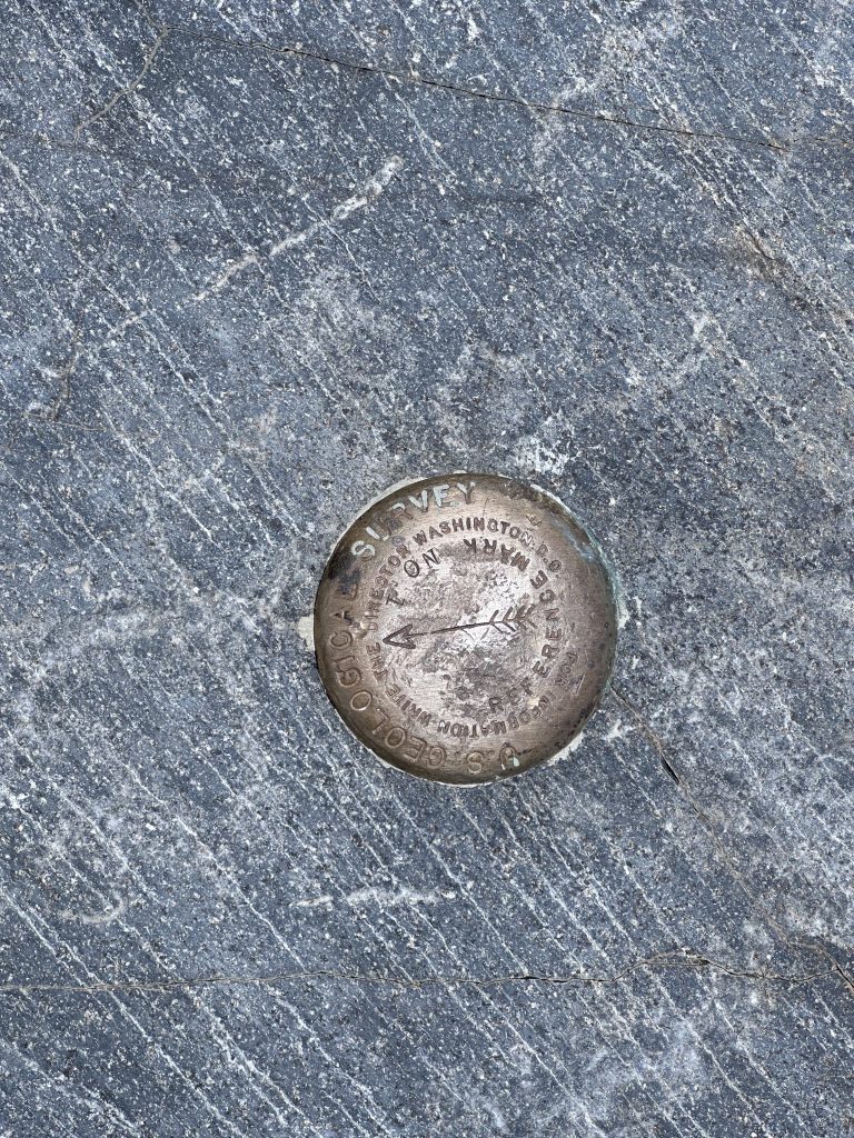
To make this a bit more civilized, we hiked in a few miles and camped on the north side of Horton Lake, near the mining cabins. There is a nearby spring which has very clear water. The next day, we hiked up the trail to the saddle which connects to the mining road on the west side of Mt. Tom. We followed the standard tracks found on peakbagger, up the scree, connecting to the ridge, class 2/3 along the ridge (fun). There is one spot which is 3+/4. Max was able to swing around this easily. I down-climbed and then up a small chute which was very good climbing, avoiding the narrow ledge. The rest of the climb to the summit was easy and fun. On the way down, we followed the tracks which go down the chute and scree. This was really not fun, very unstable rock. I think it would be better to return along the path we followed up (what I would do if I returned.)
It is such a big mountain! When the effort is broken up, even a 58 year old professor can do it, so go for it!