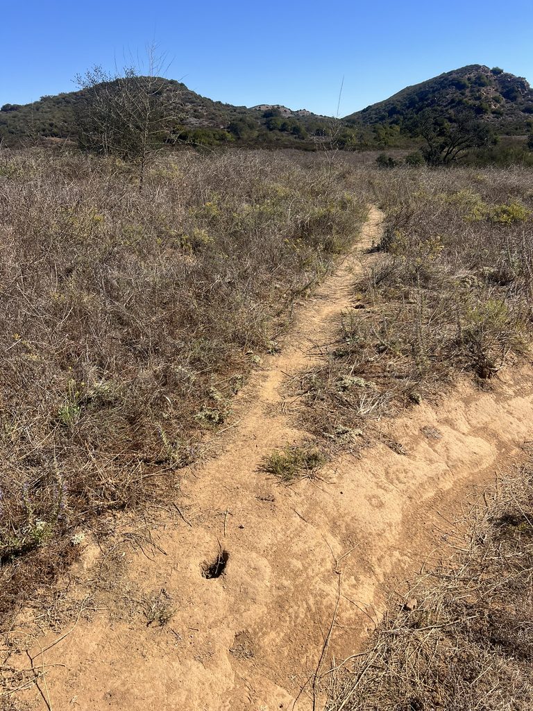
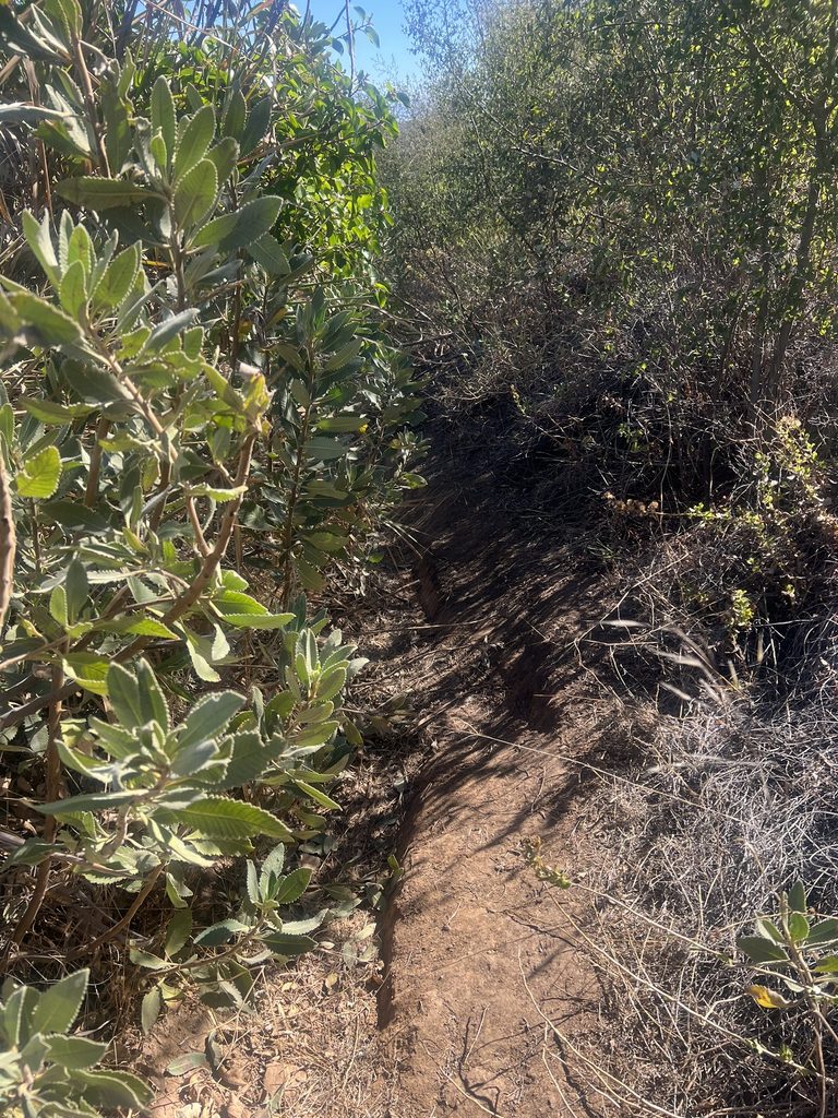
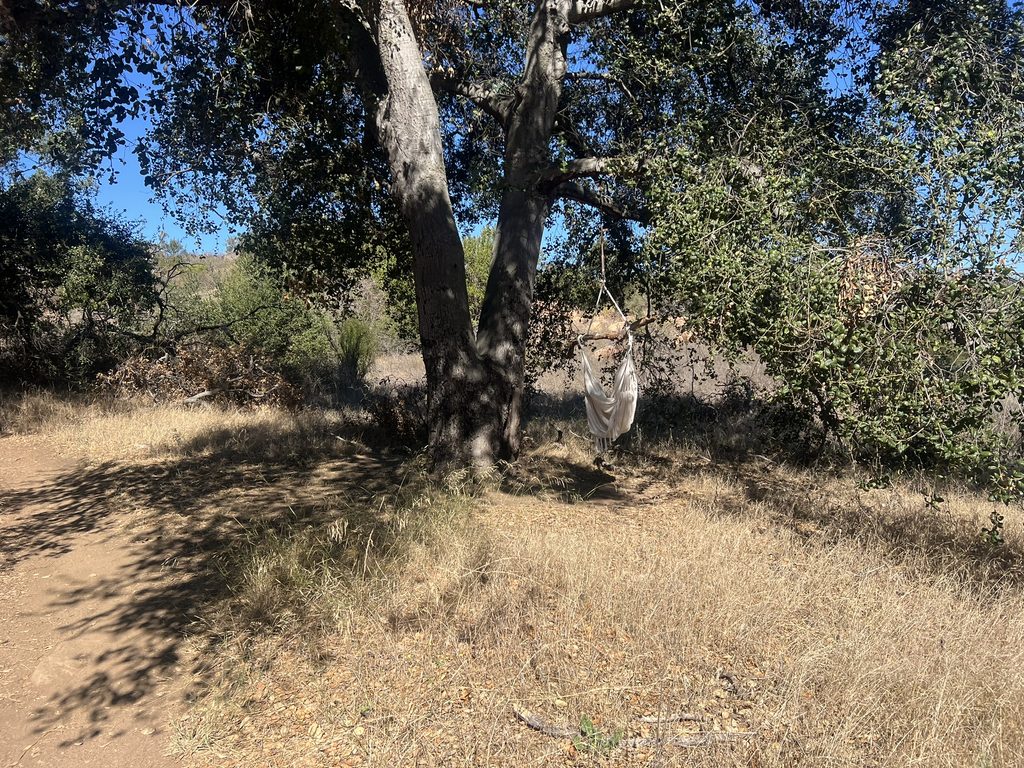
This is likely the easiest hike to reach Simi Peak. Park at the China Flat Trailhead near the north end of Lindero Canyon Road. Pay attention at the several trail junctions to make sure you stay on the correct path.
I’ve hiked & MTB’ed up to W6/CT-207 Simi Peak four times using two different routes, and I noticed that one of these routes hasn\'t been posted here or on the SOTA Summit page.
Route 1: China Flat Trailhead — Probably the Easiest Route
Distance: 3.2 miles one way
Elevation gain: 1,340 feet
Elevation loss: 211 feet
The trail is mostly exposed, but there are a few shaded spots along the way where you can take a break from the sun. The surface is a mix of packed dirt and rock, with a few rocky sections steep enough to discourage all but the most serious mountain bikers. I’ve seen some tire tracks, but I’ve never encountered a mountain bike on the lower portion of the trail. Hiking with my trekking poles was very helpful.
You’ll come across a couple of less-traveled shortcut trails, but according to the topo maps, they are considerably steeper. One is even called the “Suicide Connector Trail,” which is probably an appropriate name!
After climbing for about 1.4 miles, the trail descends briefly. At around the 1.5-mile mark, you’ll see a tempting shortcut that I tried once. It turned out to be quite steep, so I recommend staying to the right and following the more gradual loop instead.
Enjoy the stroll west through China Flat, which is especially beautiful in the spring. You are now on the Simi Peak trail. The trail passes beneath numerous large oak trees, providing plenty of opportunities to stop for a shady break.
Continue west until the trail turns south and begins the final climb to Simi Peak. At the summit, you’ll find rocks to sit on and a short pipe for mounting an antenna pole. There is no communications equipment at the site, apart from a MeshCore repeater.
Take some time to enjoy the views. You can see 30 or more surrounding SOTA summits from up here, making this a rewarding destination for both the hike and the radio operation.
Route 2: Albertson Fire Road Trailhead — Probably the Quickest Way (eMTB)
Distance: 5.2 miles one way
Elevation gain: 1,506 feet
Elevation loss: 312 feet
In September 2023, I rode my pedal-assist eMTB from Lang Ranch Parkway, starting on the Albertson Fire Road. Several old roads and trails roughly parallel the fire road as you head east. My recorded track shows a detour I took simply because it was a nice day for a ride, but the basic route is to head east for about 3 miles before turning south onto the China Flat Trail.
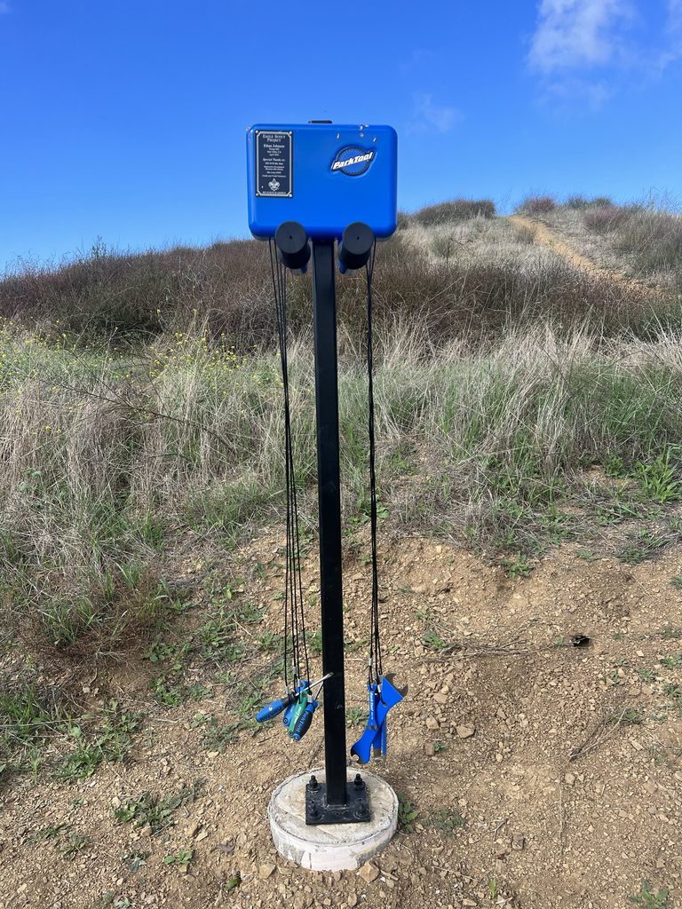
At this junction, you\'ll find a bike repair station installed as an Eagle Scout project. What a great idea!
At the next intersection, I took a fun singletrack trail that led to the Simi Peak Trail. After my recent hike to the summit, I can hardly believe I managed to get my eMTB all the way to the top! The final 0.3–0.4 miles are extremely rough, with loose terrain, overgrown sections, and some steep pitches. I remember having to push my bike in places and use its walk-assist feature.
I would not attempt that final section on a bike again! Instead, I recommend riding to the point where the Simi Peak Trail narrows and begins its steep climb. Stash your bike there and hike the remaining few tenths of a mile to the summit. That’s definitely the better approach!
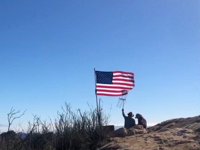
Note: the picture with the flag is from my first trip to Simi Peak in 2021. Unfortunately, the flag and pole no longer exist.
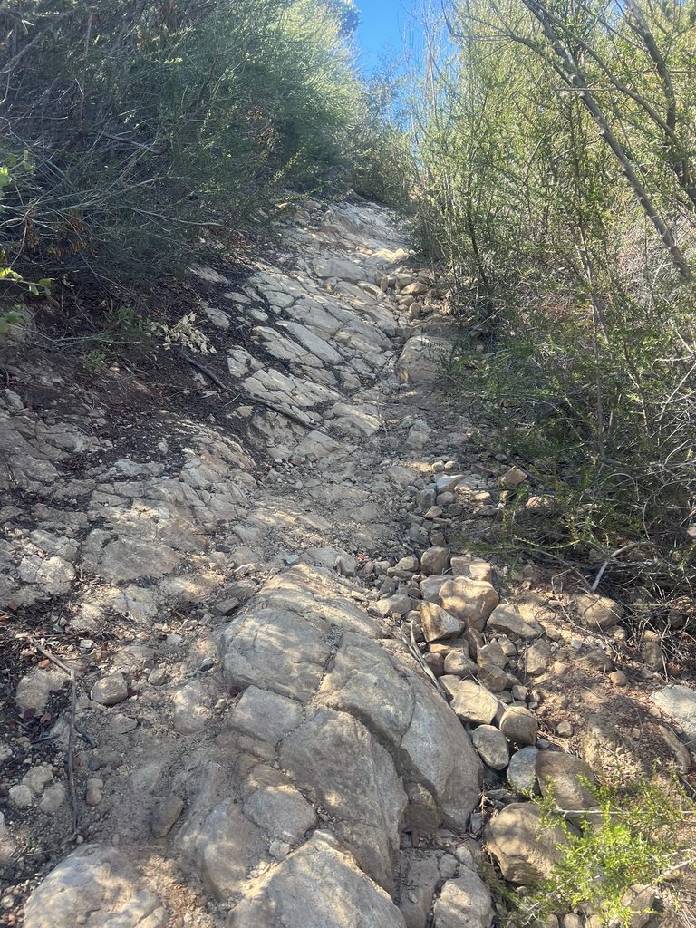
Not too bad of a hike though. Trekking poles recommended.