
8166 is an 8-pointer on the Pacific Crest Trail south of Jackson Meadows: a 1.1-mile walk, almost all of it on the PCT, to a broad, open summit. The price is the last two miles of the drive, on a very rough logging road. Randy KE6X and I have been up twice, on the morning of 5 October 2025 and the afternoon of 12 September 2026.
Getting there
From Highway 89 north of Truckee, turn west at Little Truckee Summit onto paved Forest Road 07 (Jackson Meadows Road on Google Maps, Fibreboard Road on OpenStreetMap and the Forest Service topos). It is an excellent paved road: a little rough for the first couple of hundred feet off the highway, then smooth. After 9.6 miles turn left (south) onto Meadow Lake Road (Tahoe National Forest road 86) at 39.49897, -120.43381; beyond this junction Forest Road 07 continues west as Henness Pass Road.
Meadow Lake Road is a good gravel road. It has some rocky sections, potholes and washouts, but most cars can take it with careful driving. Follow it south for 3.8 miles to the turnoff for road 86-40 on the right, at 39.45288, -120.44204.
Road 86-40 is the hard part: a very rough logging road, not one for a Prius. It climbs 600 ft in 2.1 miles to the crest of the ridge, where the PCT crosses. In September 2026 it took us 11 minutes in Randy's Subaru Wilderness, the same car we took up in October 2025.
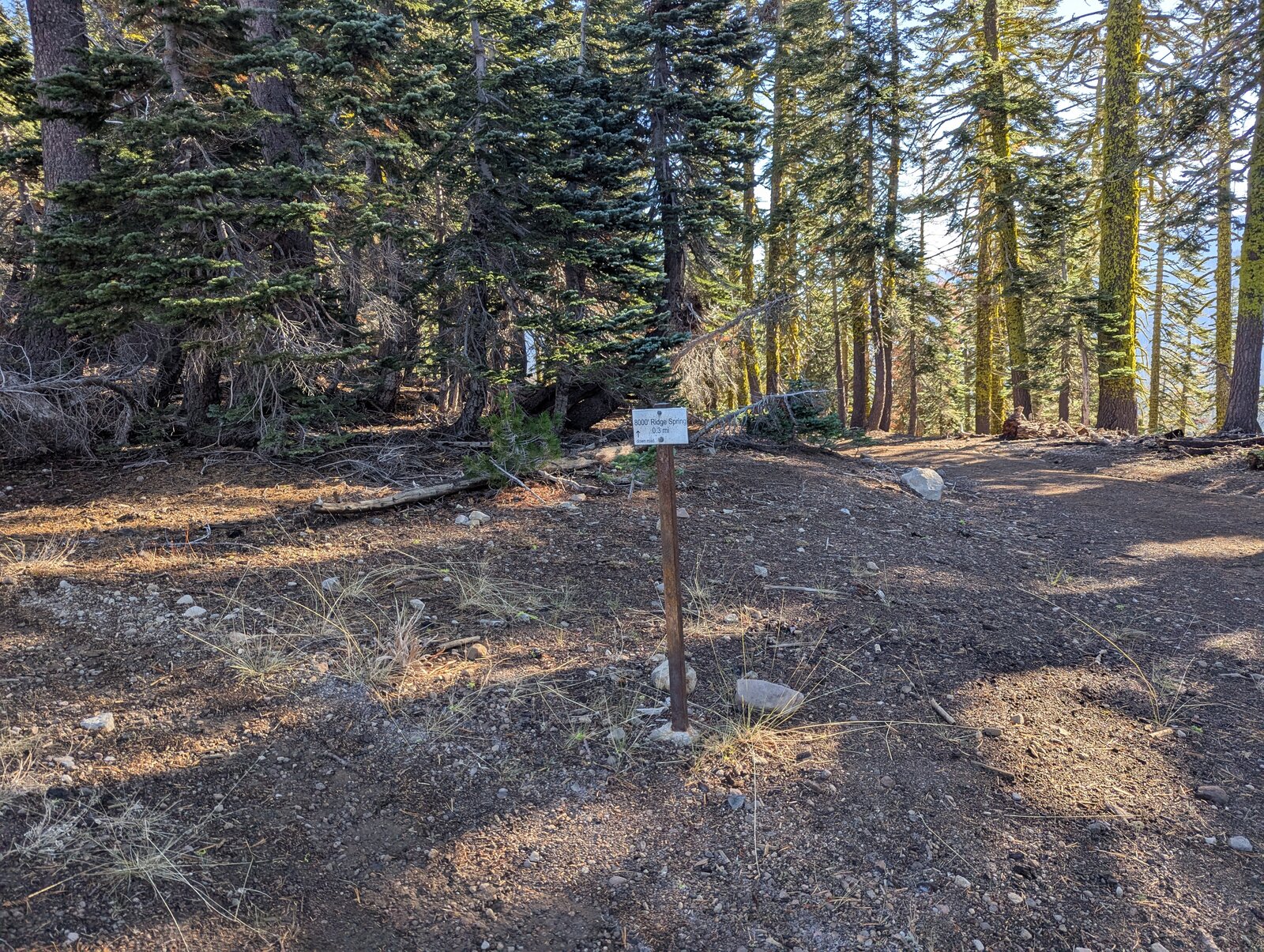
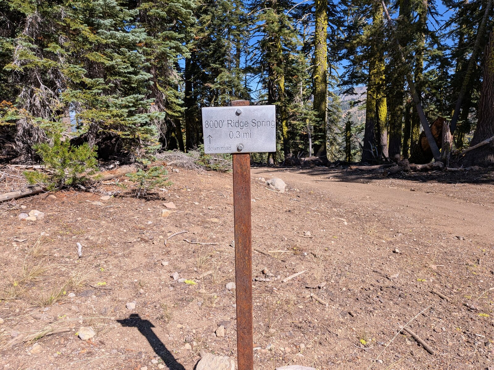
Park at the PCT crossing: 39.44736, -120.46213, at about 7,620 ft. A small metal sign there reads “8000' Ridge Spring 0.3 mi, down road”.
The hike
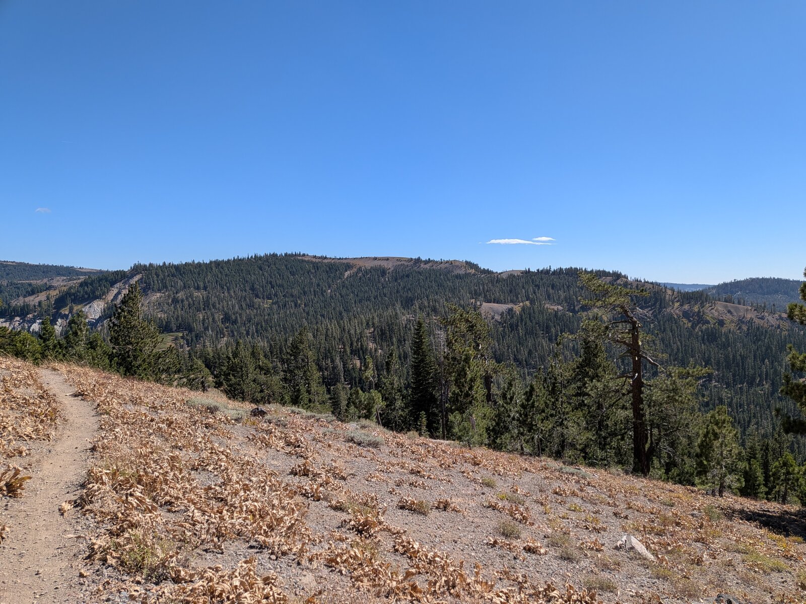
Take the PCT north from the road. It climbs through forest and then out across open slopes of woolly mule's ears (Wyethia mollis). The trail passes just below the top. There is no landmark for leaving it, but the broad summit plateau comes into view and the shrubs are low, so just pick a good line up to the cairn. It is 1.1 miles and about 540 ft up. We took 25 and 26 minutes going up and 21 and 19 coming down.
Along the trail in October I also found narrowflower lupine (Lupinus angustiflorus) and naked buckwheat (Eriogonum nudum).
On the summit
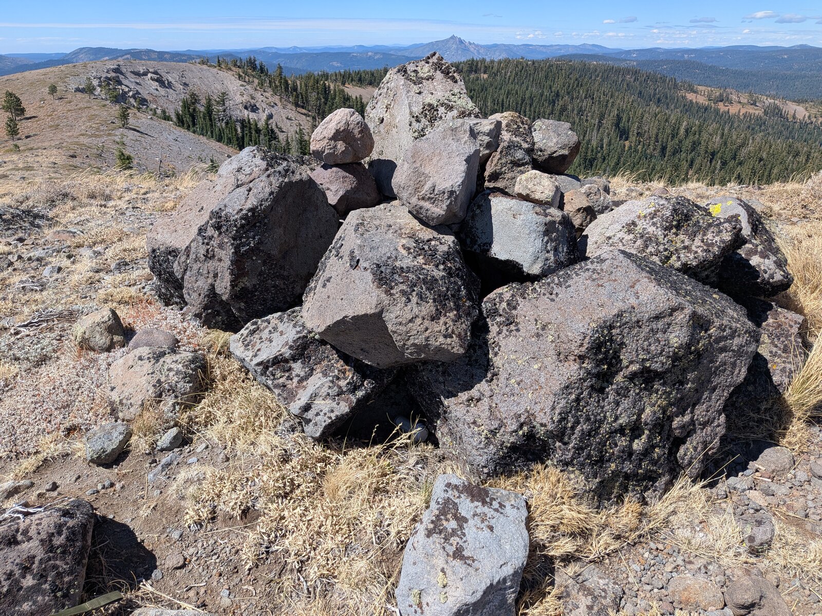
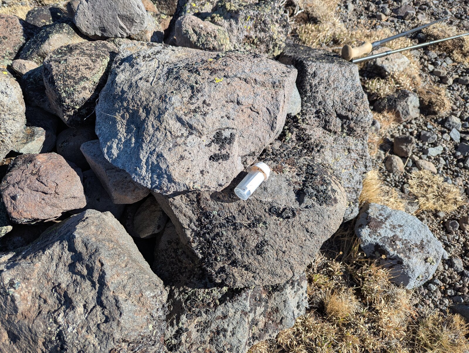
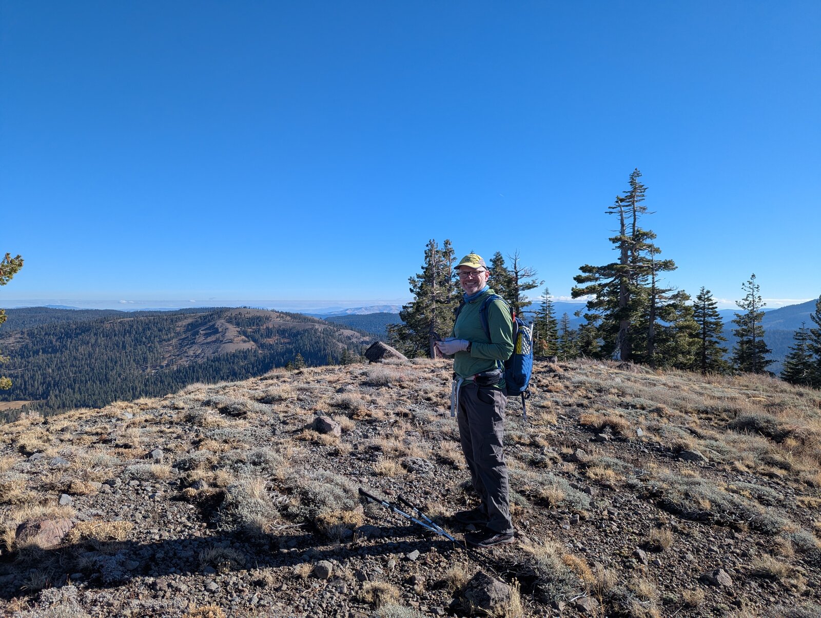
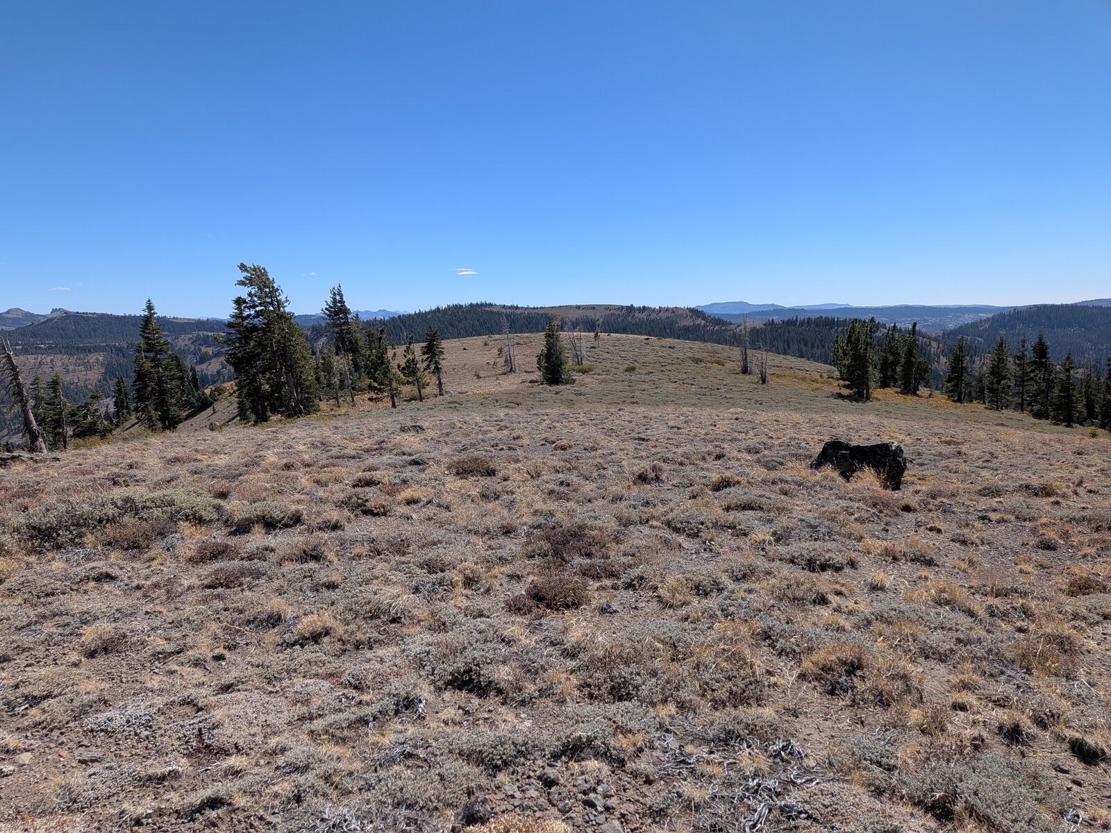
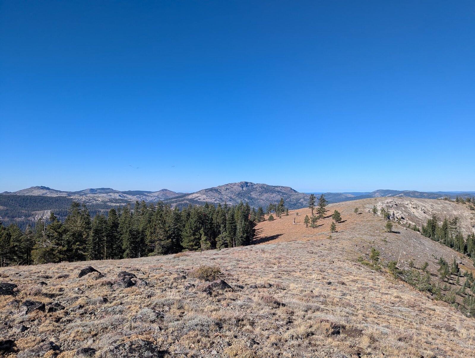
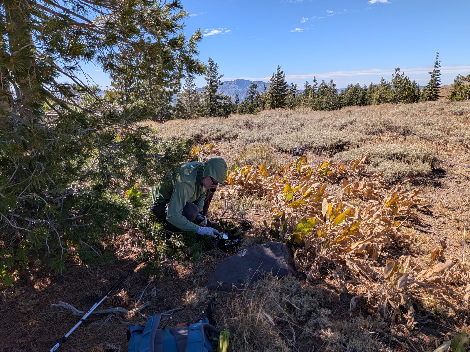
The top is a wide, gently rounded plateau, open in every direction, with a cairn of dark boulders at the high point. A register jar is tucked into the cairn; it was there on both visits. The ground cover is low shrubs: low sagebrush (Artemisia arbuscula), rubber rabbitbrush (Ericameria nauseosa) and Wright's buckwheat (Eriogonum wrightii). There are only a few scattered conifers, so bring a mast. In 2026 Randy set up in the shade of one of them, at the edge of the plateau just south of the cairn.
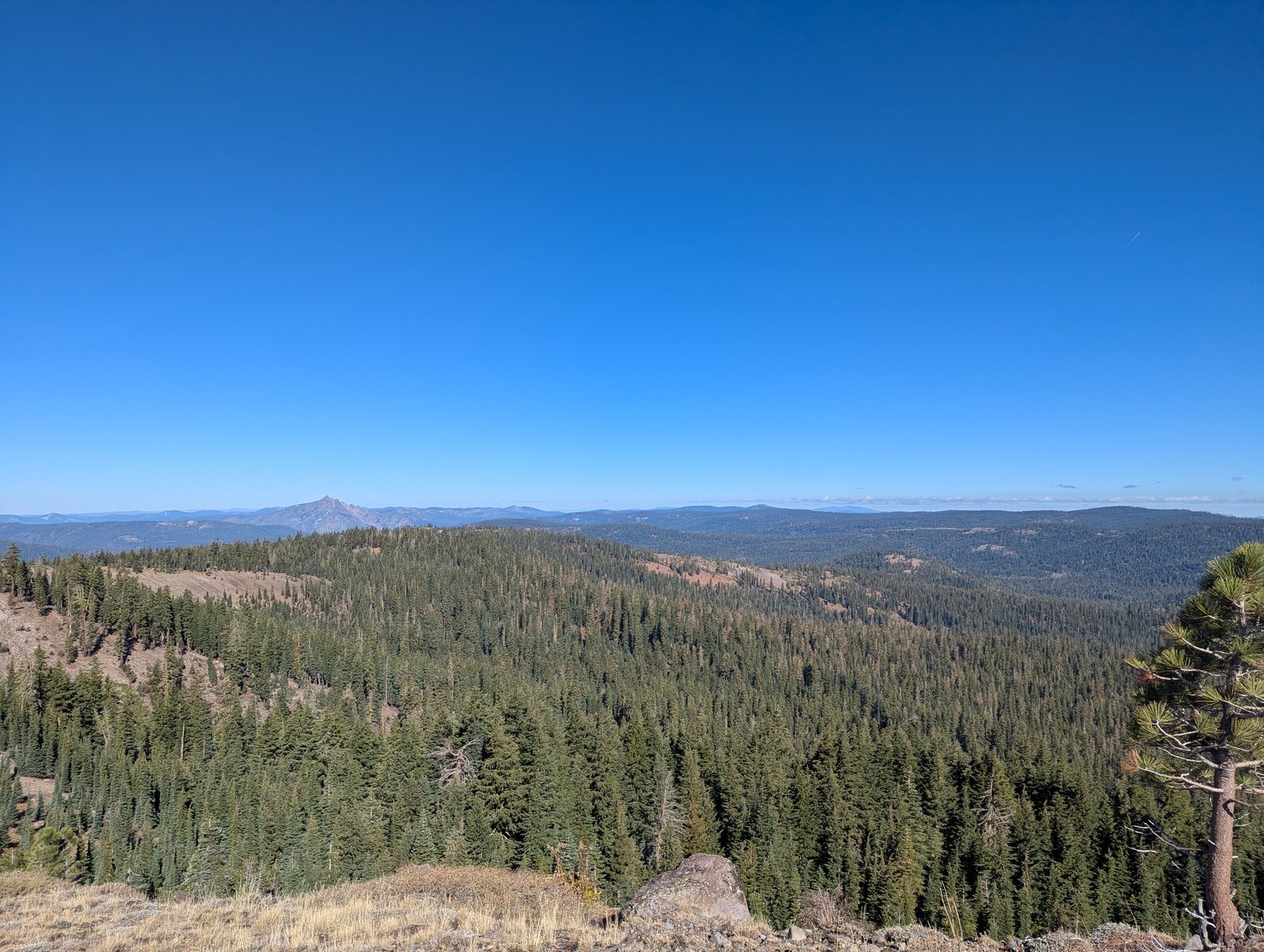
The views are great in every direction.
Radio
All of my contacts here have been SSB on HF. In October 2025 we were on the air from 09:40 to 10:32; I made 4, all on 20 m, and Randy made 7. In September 2026 we each made 5, mine all on 40 m. I had cell service on the summit on both visits (Google Fi, T-Mobile). I have had no noise on HF here.
Tracks and map
GPX: W6-NS-159-8166-KC6X.gpx. It holds our recorded drive up road 86-40 and my hike up and down on 12 September 2026, with waypoints for the 86-40 turnoff, parking and summit.
Map: W6 SOTAfest 2027 CalTopo map. Open the folder “2 · W6/NS-159 8166” for the activation zone, tracks and photos.