
8060 is a forested 8-pointer north of Webber Lake. Randy KE6X and I activated it on the morning of 12 September 2026. A big log across the access road stopped the car a mile and a half short, so this report describes a road walk followed by a climb through the forest with no trail: 1.5 miles and 580 ft each way. The top is wooded and has no view to speak of.
Getting there
From Highway 89 north of Truckee, turn west at Little Truckee Summit onto paved Forest Road 07 (Jackson Meadows Road on Google Maps, Fibreboard Road on OpenStreetMap and the Forest Service topos). After 8.3 miles turn right (north) onto Tahoe National Forest road 12, also known as Yuba Pass Road, at 39.49755, -120.41203.
Follow road 12 north for 8.8 miles, staying on it through the junction at 39.52099, -120.43235 (3.5 miles in). It is Prius-able, but it has some rough sections that need careful driving. At 39.55342, -120.49213 turn right onto an unnamed spur heading east; the spur is rougher. We drove the 9.2 miles from Forest Road 07 to the log in 22 minutes in Randy's Subaru Wilderness.
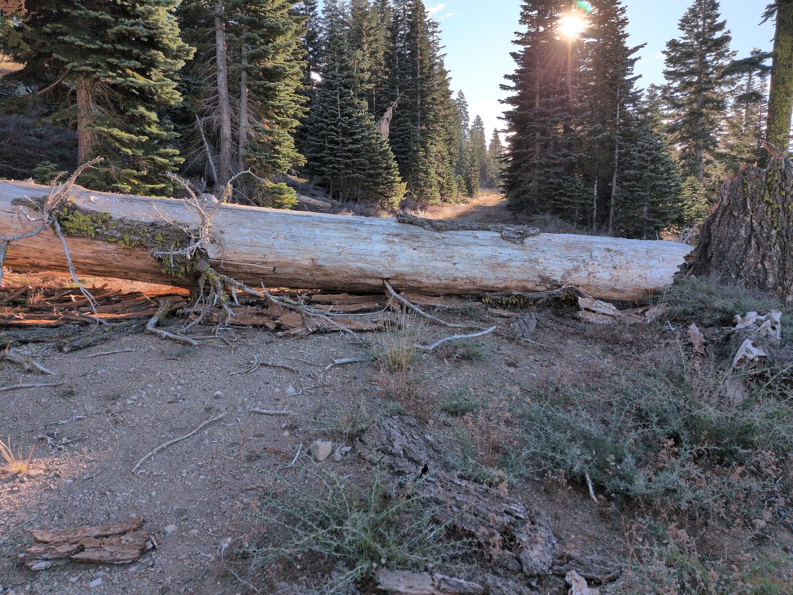
We got 0.4 miles along the spur before a big log across the road stopped us at 39.55057, -120.48472, at about 7,520 ft. We parked there. My note at the time, which we have not tried: perhaps avoid this log by using Ridge Loop from 39.52109, -120.43237 to 39.55406, -120.46875, the T-junction where we left the road on foot.
The hike
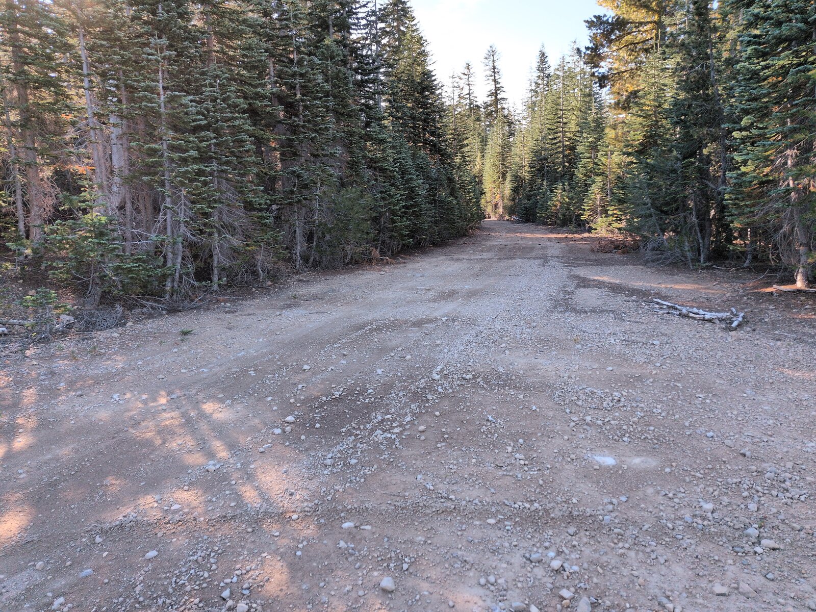
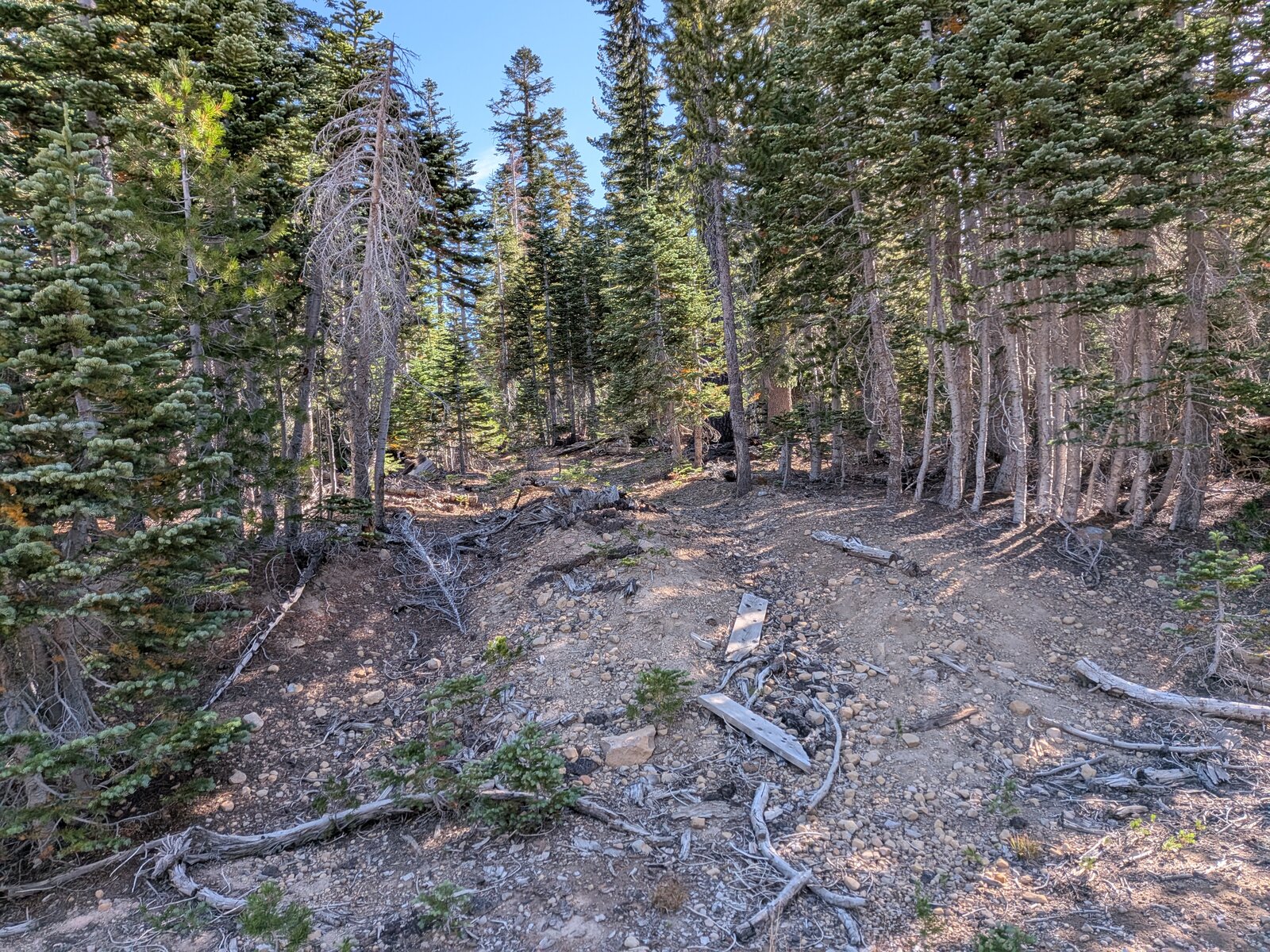
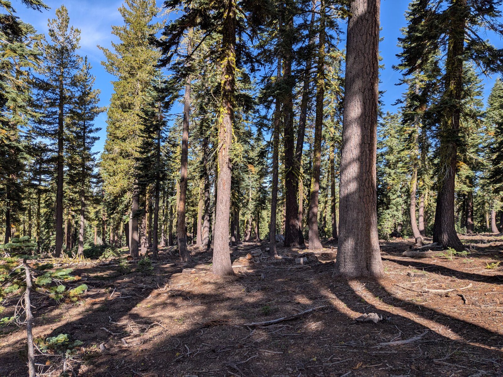
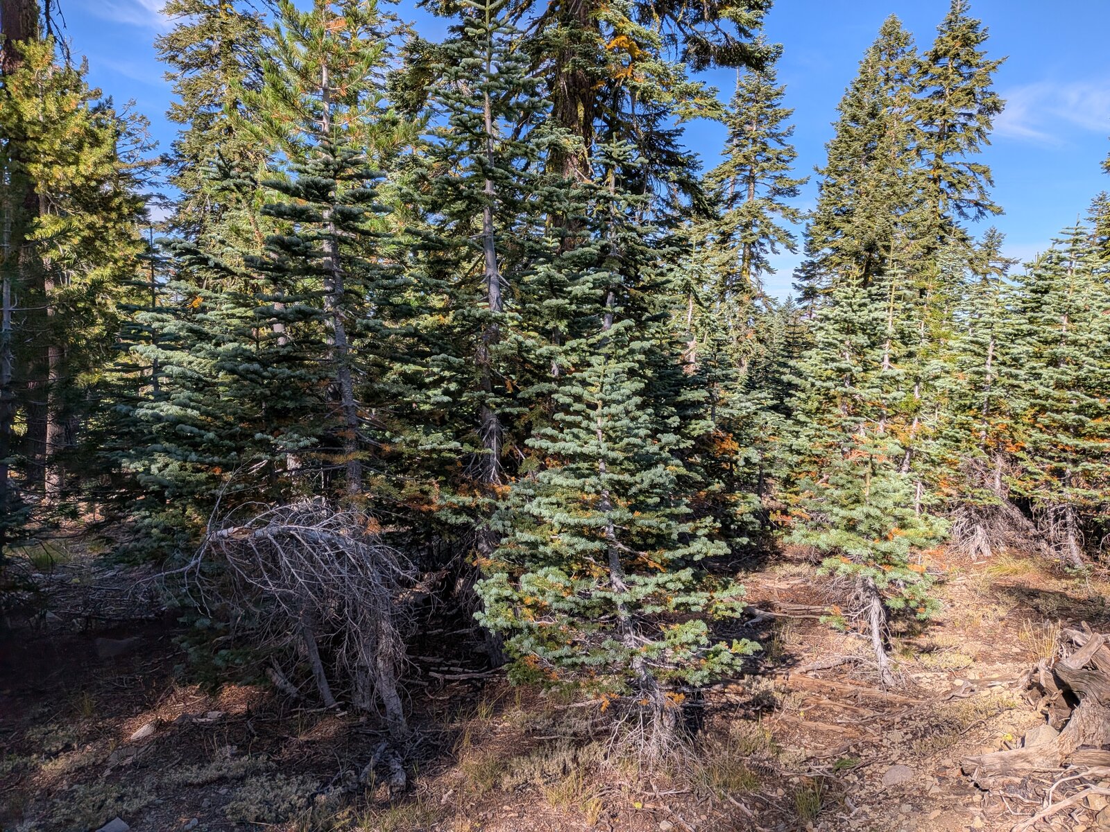
From the log we walked east along the road for 0.9 miles, climbing gently to about 7,790 ft at 39.55399, -120.46897. There, at a T-junction, we left the road and followed a skid trail, then climbed through the forest with no trail for the last 0.5 miles and 300 ft to the top. In all it is 1.5 miles and about 580 ft up; we took 33 minutes going up and 30 coming down.
Along the road in mid-September there were still flowers out: waxy checkerbloom (Sidalcea glaucescens), slender beardtongue (Penstemon gracilentus) and changeable phacelia (Phacelia mutabilis).
On the summit
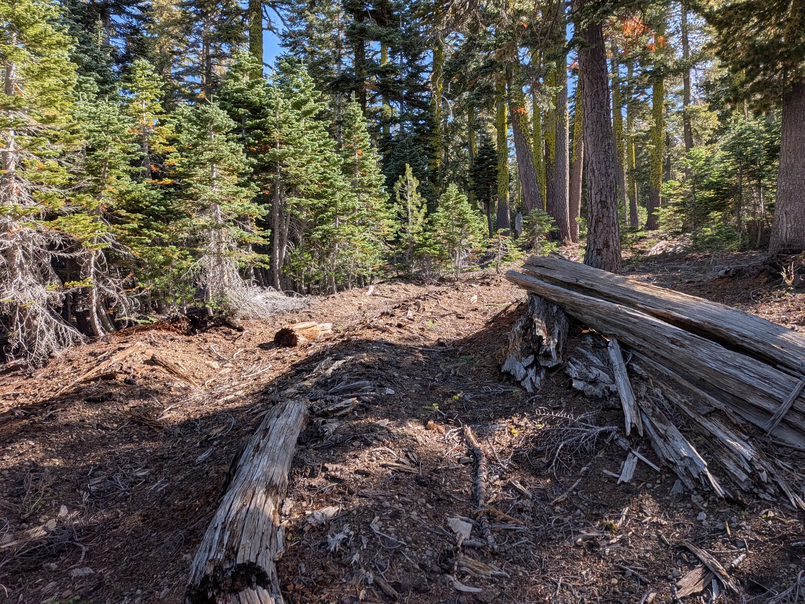
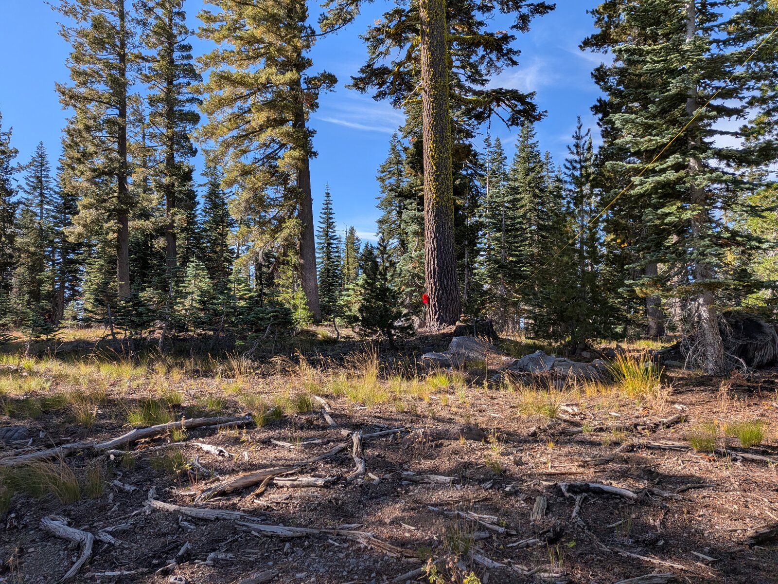
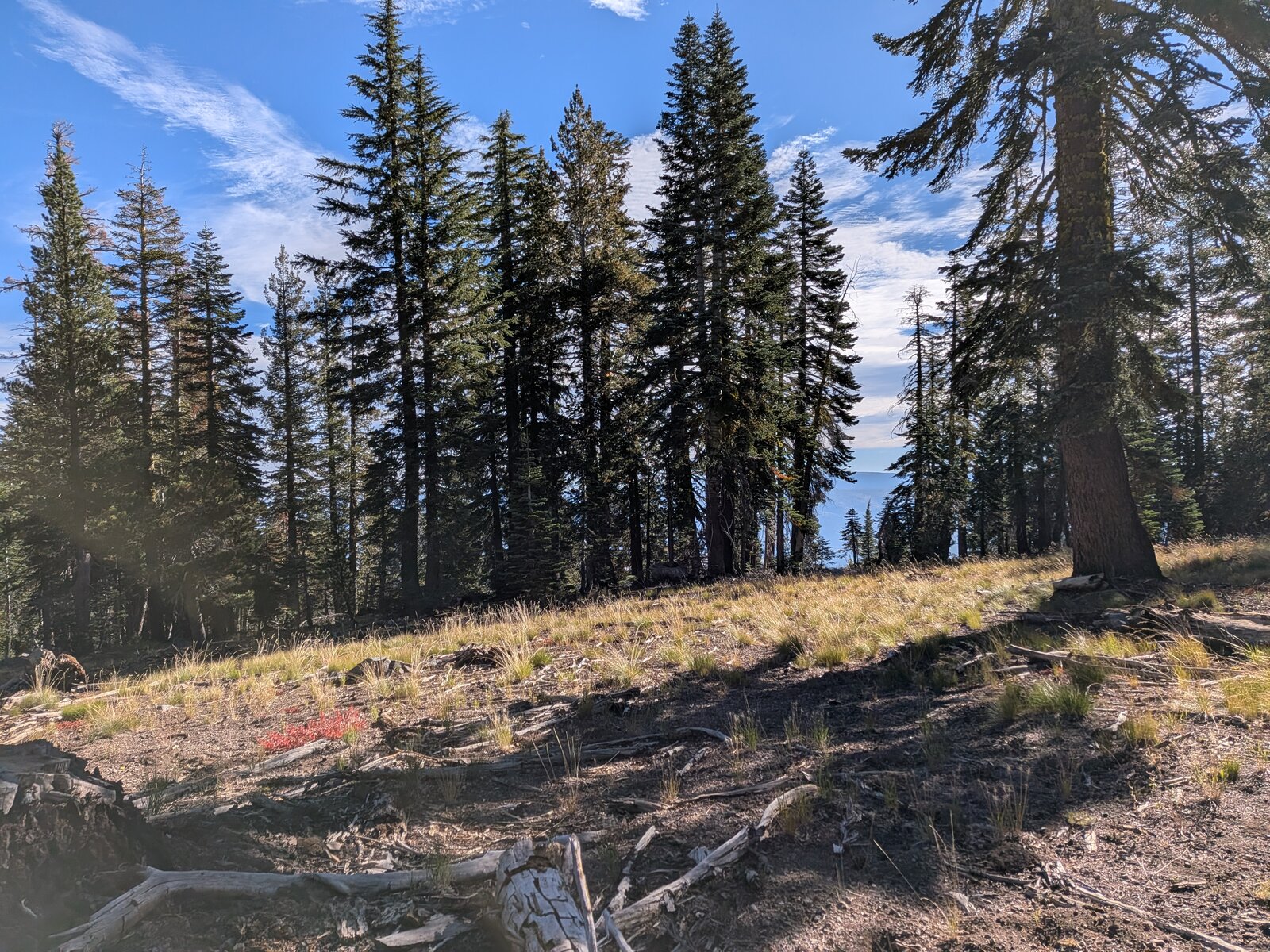
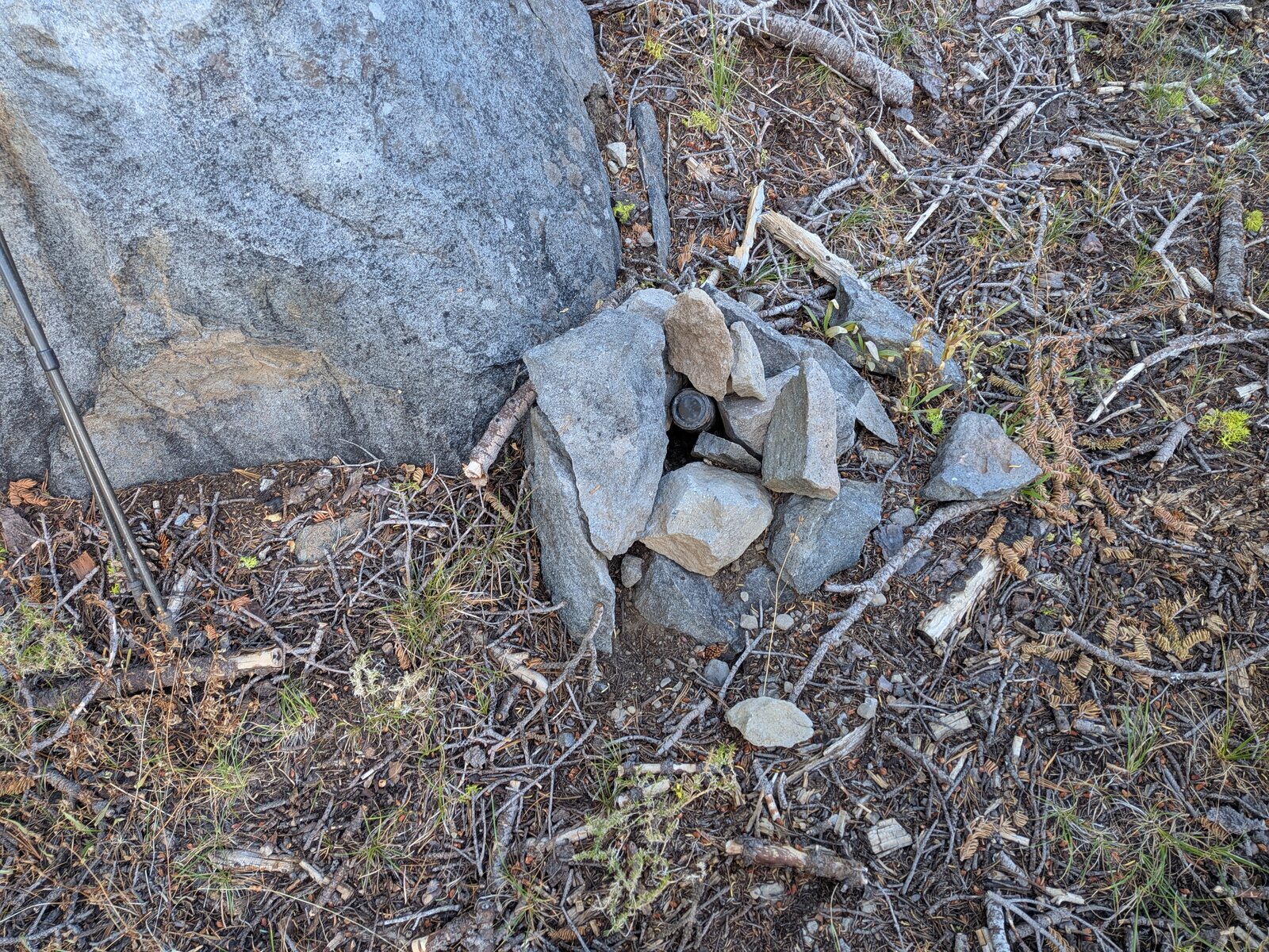
The top is a forested rise with grassy openings between the trees. A small cairn against a boulder holds a register jar.
Radio
We were on the summit from about 08:45 to 09:35. I made 4 contacts on SSB, 3 on 20 m and 1 on 40 m, and Randy made 7. I had cell service on the summit (Google Fi, T-Mobile). There was some noise on the lower bands.
Tracks and map
GPX: W6-NS-166-8060-KC6X.gpx. It holds our recorded drive from Forest Road 07 to the log and my hike up and down on 12 September 2026, with waypoints for each turn, the log, the T-junction where we left the road, and the summit.
Map: W6 SOTAfest 2027 CalTopo map. Open the folder for W6/NS-166 8060 for the activation zone, tracks and photos.