
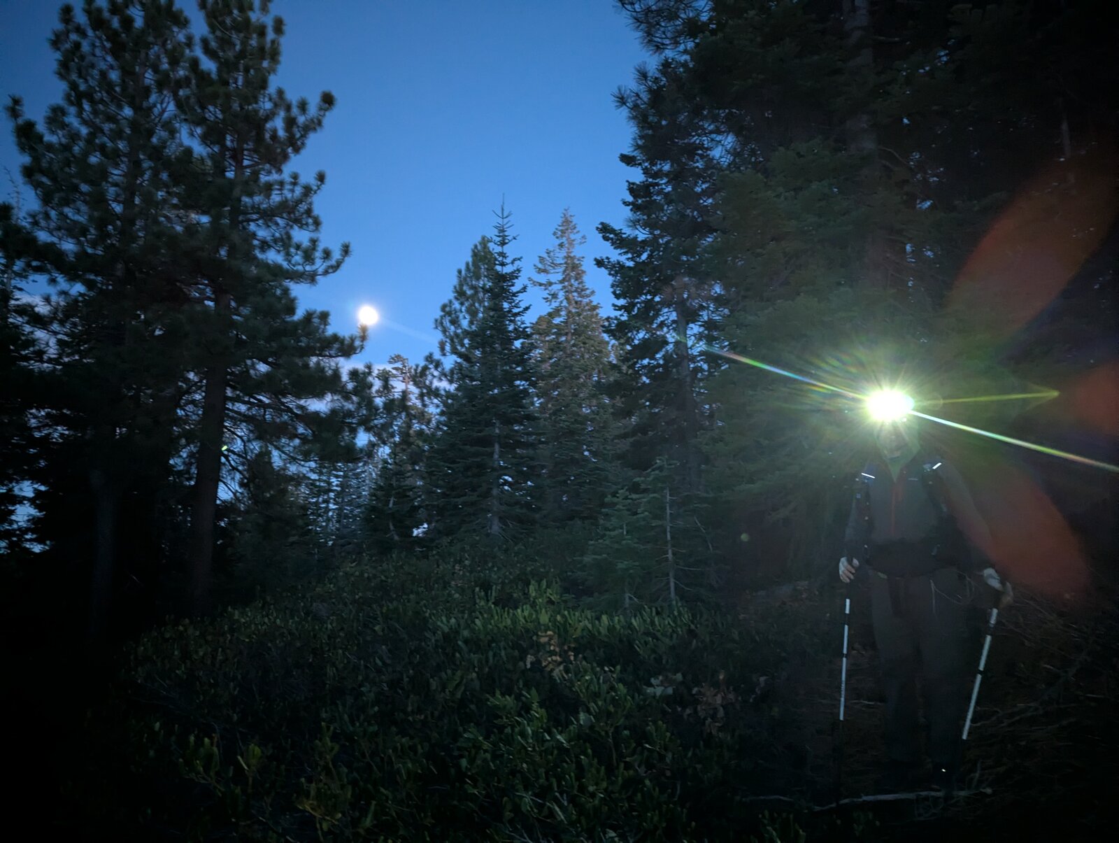
Prosser Hill is a 6-pointer just north of Truckee: a rough two-mile drive from Highway 89, then an easy mile on a motorcycle track to a summit with good views. Randy KE6X and I activated it at sunset on 3 November 2025 and walked down by headlamp.
Getting there
From Highway 89 north of Truckee, turn west into the Prosser Hill OHV staging area at 39.38703, -120.18411. From there it is about 2.1 miles of dirt road, winding south-west, to where we parked at 39.37633, -120.20765, at about 6,710 ft. The route is rough and overgrown. We did it in Randy's Subaru Outback Wilderness, and I got out to move some rocks. At the parking spot there is a barrier that clearly implies no four-wheeled vehicles beyond it.
The hike
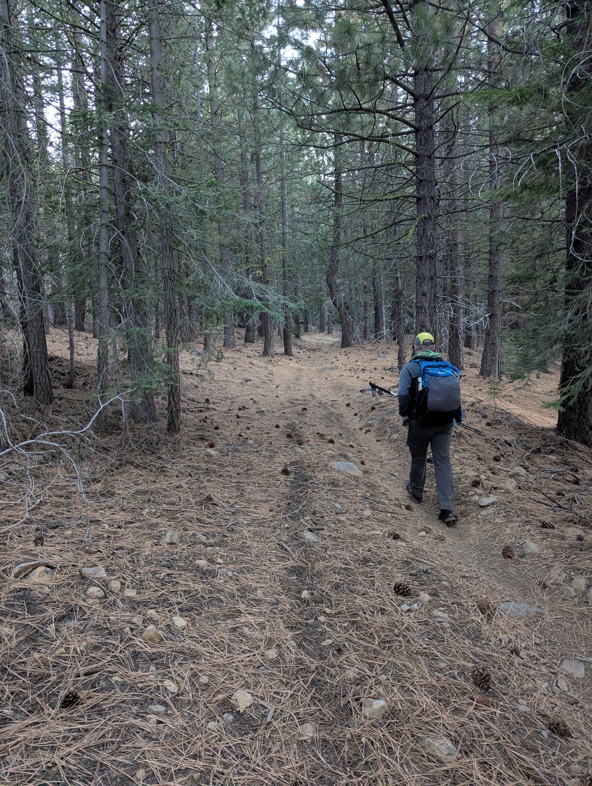
Beyond the barrier there are two-wheel tracks and several signs. The motorcycle track leads west through pine forest to the top: 1.0 mile and about 450 ft up. It is an easy walk. We took 21 minutes going up and 19 coming down the same way.
On the summit
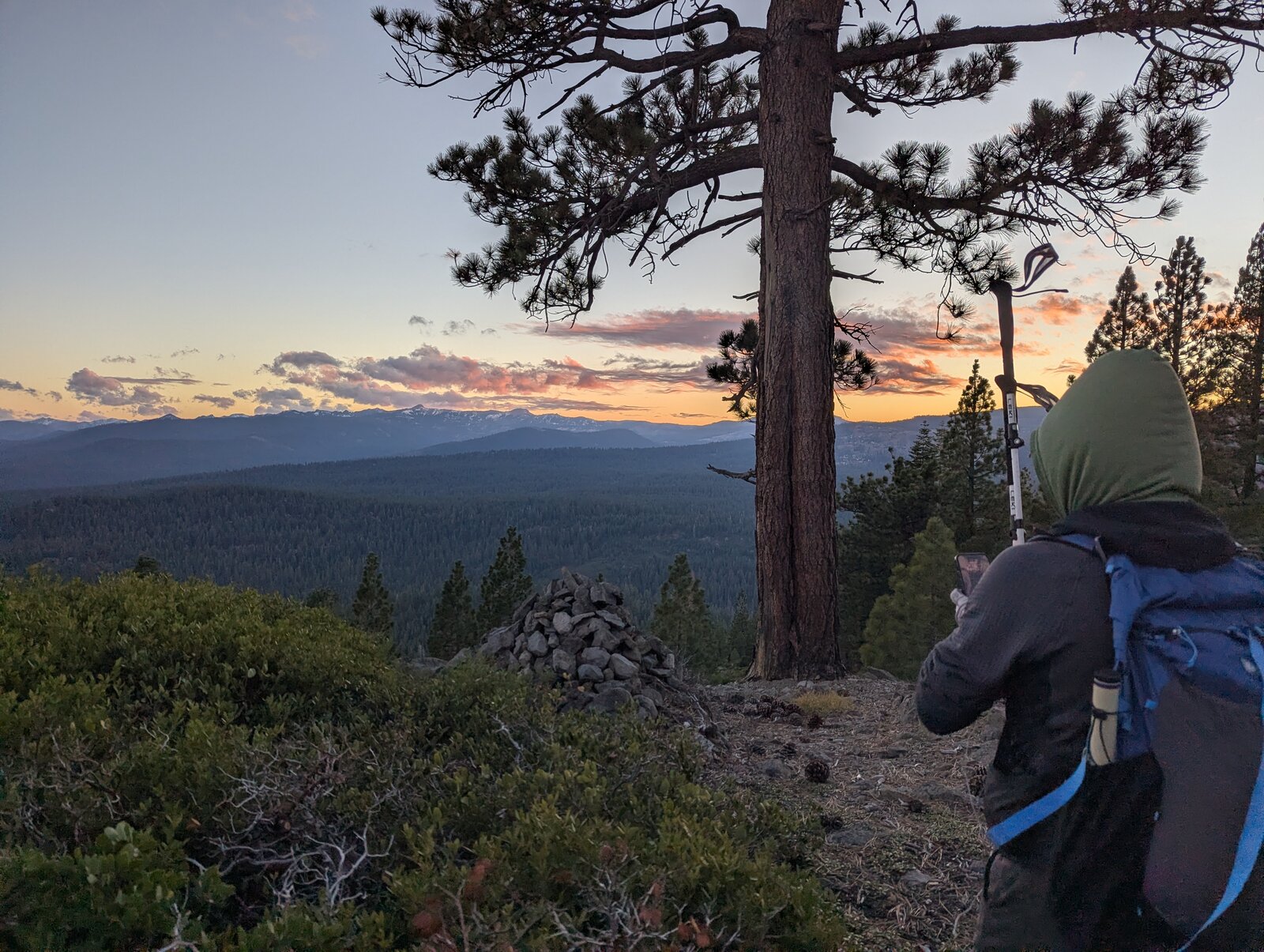
The top is open and rocky, with a cairn, low brush and a few pines. We arrived just as the sun was setting.
Radio
We each made 4 contacts, mine all on 40 m SSB. We were on the summit from about 16:55 to 17:25. I had no noise, and I had cell service on the summit (Google Fi, T-Mobile).
Tracks and map
GPX: W6-NS-236-Prosser-Hill-KC6X.gpx. It holds my hike up and down on 3 November 2025, the drive line from my 2025 map (not a recorded track), and waypoints for the highway turnoff, the parking spot and the summit.
Map: W6 SOTAfest 2027 CalTopo map. Open the folder for W6/NS-236 Prosser Hill for the activation zone, tracks and photos.