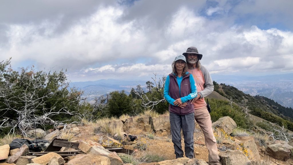
May 29, 2026 Activation. This was probably one of my shortest and most satisfying activations. I brought my Quansheng mostly to give chasers the 2M weak signal points. As soon as I turned my radio on (146.58) I heard Jon NT6E calling CQ SOTA! What are the chances after a six hour hike I would be on a summit and turn my radio on to hear him calling CQ SOTA. Huston KK6WT drove him out earlier in the day to Pacifico and then to Little Gleason (W6/CT-087 6020). That made my day having an unexpected S2S with Jon. We would shortly thereafter have a QSO on 2M SSB. Only made 5 contacts, four on 2M SSB and one on 2M FM. But that was enough. Didn't even spot as we had a six hour hike back.
I think this is one of the more difficult Southern California day hikes. Not only because of the gain and loss of elevation (5270) but because of the trail condition. It has several sections of overgrown ceanothus that you need to bust through and some of them next to yucca. A two hour drive to the trailhead once you leave the highway. All that being said this was definity a peak high on our list. One of those prominent easy to spot peaks from many places that have a view of peaks in the southern Los Padres.
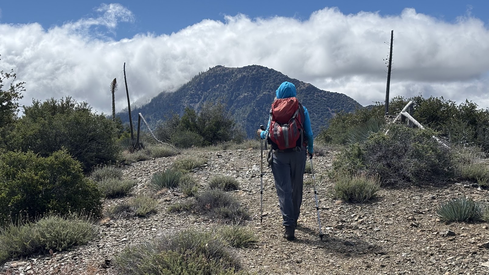
We left the 5 freeway and entered Hungry Valley HOV Park at 6:00am and arrived at the Buck Creek trailhead at 8:00. Definitely need high clearance and likely AWD. The hike to Sewart Mountain is easy. Not much of an elevation gain and easy to follow mostly unobstructed trail. The trail to Sewart and continuing on the where you leave the trail at the Cobblestone/White Mountain junction is an old road bed. The trail seldom veers from it. Ascending and descending Sewart is where it veers away the most to avoid dead fall.
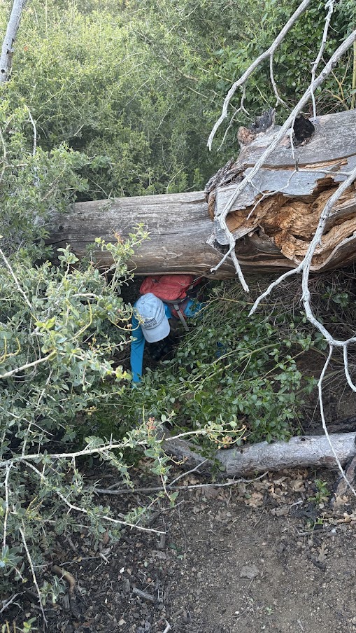
The trail down Sewart is where you will encounter most of the bushwhacking. The bushwhacking, as bad as it is, was enhanced by the excessive dew that morning and we were drenched! Later as the sun came out and it warmed up we dried out.
Once down from Sewart the trail improves. Less bush whacking and smaller hills to ascend and descend. Lots of bear sign. We cached water at the bottom of Sewart and at the saddle before last ascent to White/Cobblestone junction. Once you reach the White/Cobblestone junction a faint trail drops off the south side of the ridge to gain the saddle below Cobblestone. I found this to be the most difficult section. Sidehill bushwhacking the overgrown trail and avoiding the yucca.
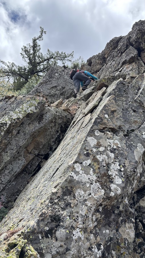
The ascent of Cobblestone is not bad with the exception of getting off the saddle. We had a difficult time finding the route but after some considerable investigation we found it. Look off the west side of the saddle. Most of this route is open. We did scramble up the rock band but unknowingly on our descent avoided it by going around it to the east.
The view from the summit of Cobblestone is marvelous. Plenty of room to set up a long wire though I only used my Quansheng for 2M. Great views of the Sespe and Agua Blanca. We're confident we spotted a condor. Flat wing profile, no wobbling, and large. We spent about 45 minutes on the summit.
We followed the compilation of tracks posted on peakbagger.com as there is almost no deviation from the standard. Add an extra mile to your route as you will gain 5270' out and back!