
Eager to get a few more points added, I was happy to see Lorene’s (W6LOR) posting on groups.io that the road up to Mount Gleason was open. This is a 9-mile trek to a 6-pointer hard to do on foot but easy in a car. I confirmed the gate was open a week before and then started planning. Turns out this is an easy two-for-one with “Little Gleason” (aka peak 6020) a short half-mile on foot for another 6 points.
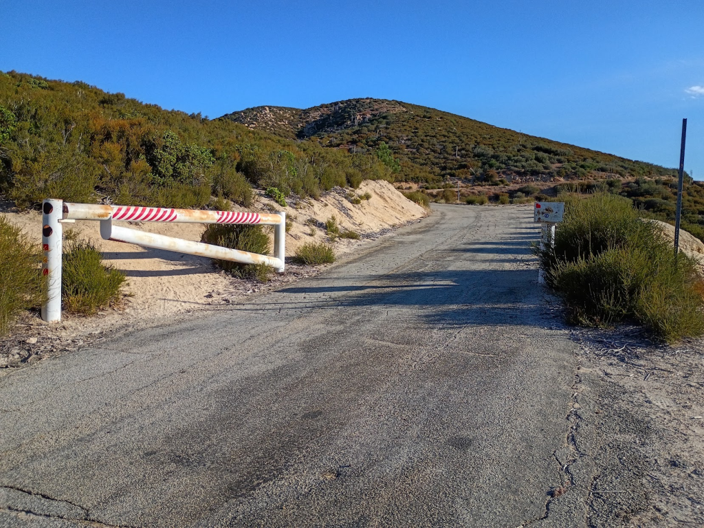
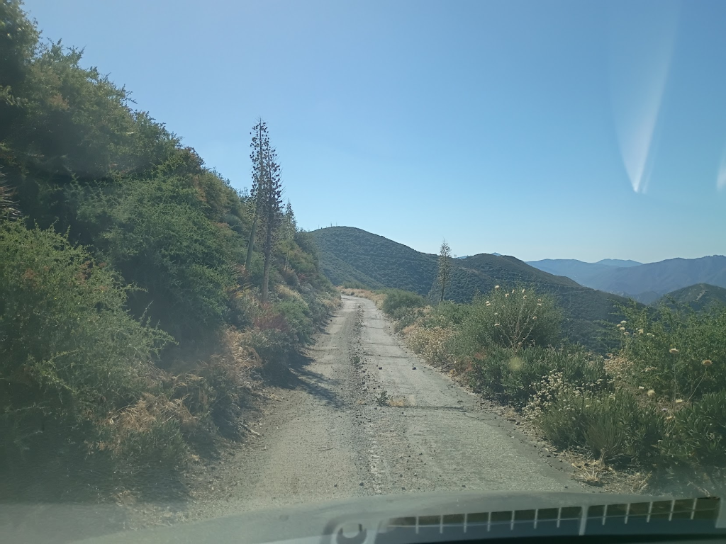
Driving to Mill Creek trailhead was a pretty quick 40-minute drive from my house in Santa Clarita. Then it was just a matter of turning into 3N17, aka Mount Gleason Road. If you don’t know, Angeles National Forest is cross-crossed with these “forest service roads” which allows access to telcom sites and other crew access (including for our wonderful firefighters). That said these roads are usually very basic, narrow, overgrown, and frequently washed out. With that in mind I drove carefully around 20 mph avoiding the worst potholes. At one point the road turned into a rather crude dirt road but my trusty Toyota Corolla was able to get through it all without an issue.
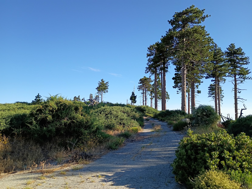
At the top there was unfortunately a locked gate forcing me to hoof it the last two hundred yards or so. This is a rather flat area with remnants of an old fire camp that burned down years ago. There are also a number of trees which can be used to hang antennas. This was around 8am or so and the temperature here in July was rather comfortable high-70s with a light breeze. You can see downtown L.A. in the distance making this peak a good place to do 2m activations. With exactly that in mind I set up my tape measure yagi and started calling on 144.205 (rag chewers were busy on 144.200 for some reason) and Jon (NT6E) quickly replied and spotted me.
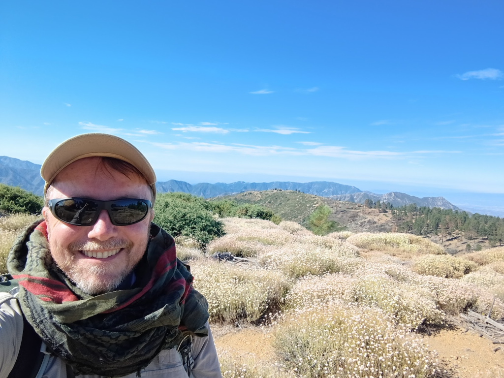
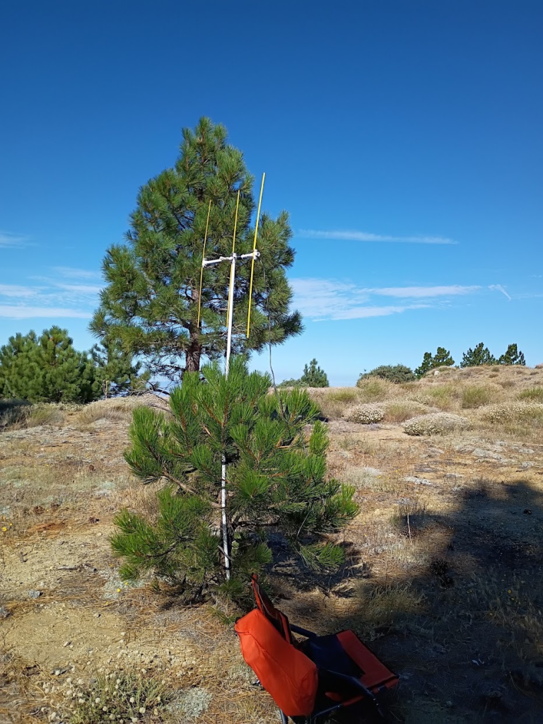
A half-hour later I had bagged five contacts and switched to the trusty 146.58 and got three more, including a site-to-site with Rick (KN6CQX) on Mount Baden-Powell (W6/CT-004) 22 miles west of me. I then packed up and drove downhill four miles to the start of the trail to Little Gleason. Do note this specific spot is easy to miss as there are no signs of any kind. Mark this location before heading out there and make sure you have downloaded maps on your phone. Otherwise you might miss it or worse, use the wrong trail.
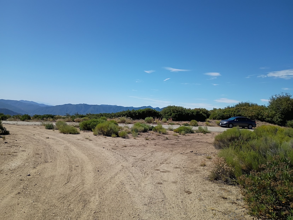
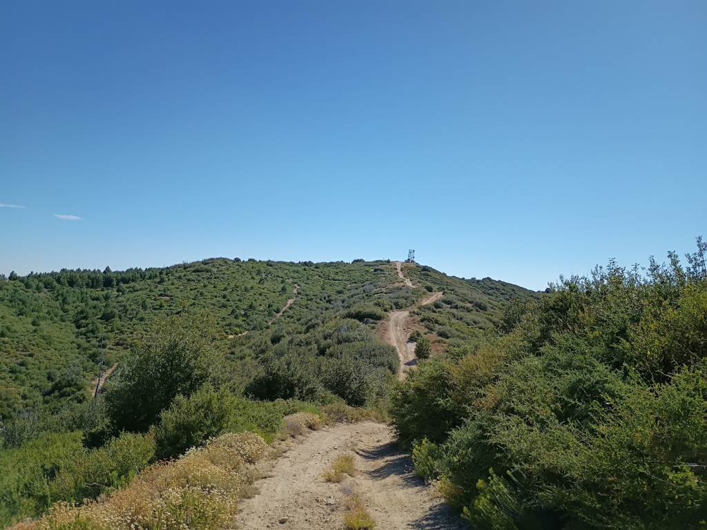
If you have a 4x4 you can drive up to Little Gleason. This is a crude dirt road that is easy to hike and the peak has a microwave site on it easy to spot after five minutes hiking up the first part of the trail. Activating 2m on this peak was considerably harder and after 40 minutes I barely got the four I needed, including Ted (W6TED), who was driving up to Mount Gleason (!). This was around 11am and I switched to CW on 144.100 to try to get Mike (K6STR) on another peak. This was something the two of us had planned ahead of time. Regretfully after a few CQ’s the battery on my Quansheng K6 decided to call it quits.
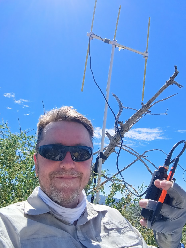
I packed up, hiked down to my car, and headed for the third peak of the day, Table Mountain.