
Clyde Mountain is a quick 6-pointer off Highway 20: half a mile and 600 ft straight up from a pullout on Bowman Lake Road, with no trail. I have activated it twice. The first time, on the evening of 29 March 2025 (30 March UTC) with Brian AB6D, we postholed up it in snow. The second, on the morning of 18 September 2026, took 26 minutes.
Getting there
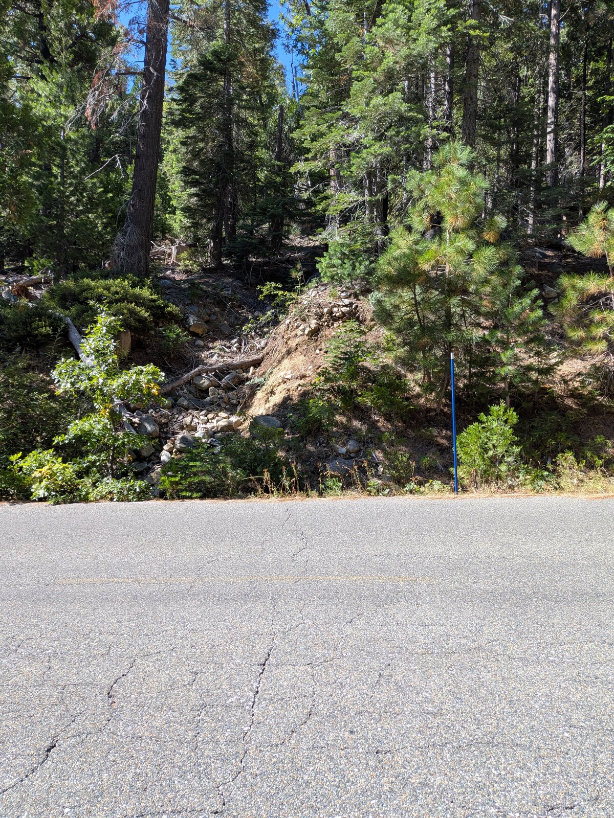
From I-80 take exit 161 and follow Highway 20 west for 4.2 miles, then turn sharp right onto Bowman Lake Road (National Forest road 18). After 3.8 miles park in a pullout at 39.34633, -120.65485, at about 5,450 ft. It is paved all the way to the pullout, so no clearance is needed: in September 2026 I drove it in a Tesla Model S. There is room for only one car.
The hike
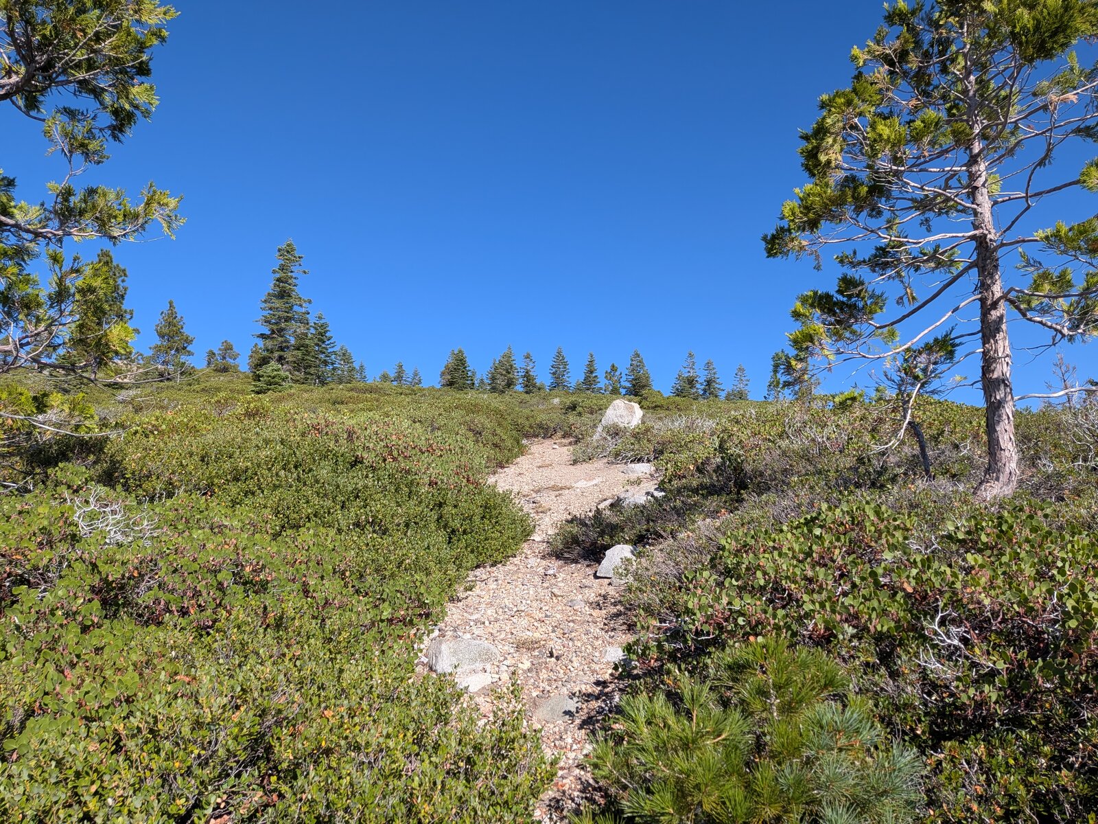
There is no trail. From the pullout the summit is 0.5 miles and 600 ft up to the south-west. Start up the bank wherever it feels convenient: it is a scramble from the road to the hillside, and after that it is not as treacherous, just steep. Expect brush and downfall most of the way up, and a lot of zig-zagging to find the right route. In September 2026 it took me 26 minutes going up and 24 coming down. In snow in March 2025 it took 50 minutes going up, postholing, and we came down after dark by headlamp. Adventure! Near the top a path winds through the manzanita.
On the way I found California incense-cedar (Calocedrus decurrens) and California black oak (Quercus kelloggii) just below the summit.
On the summit
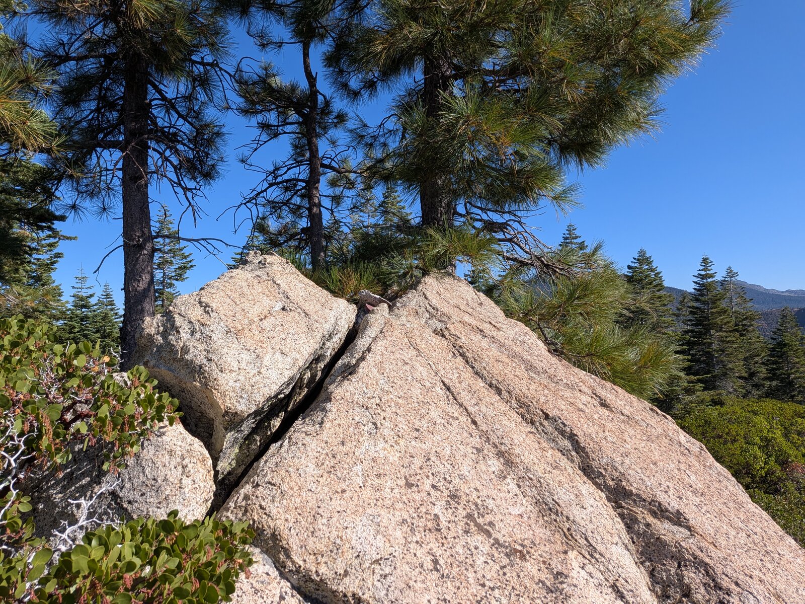
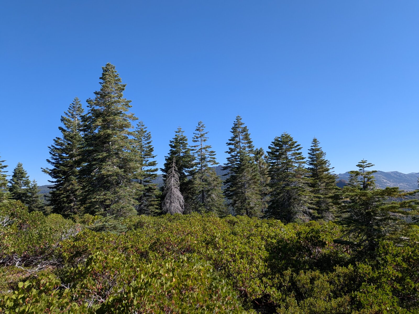
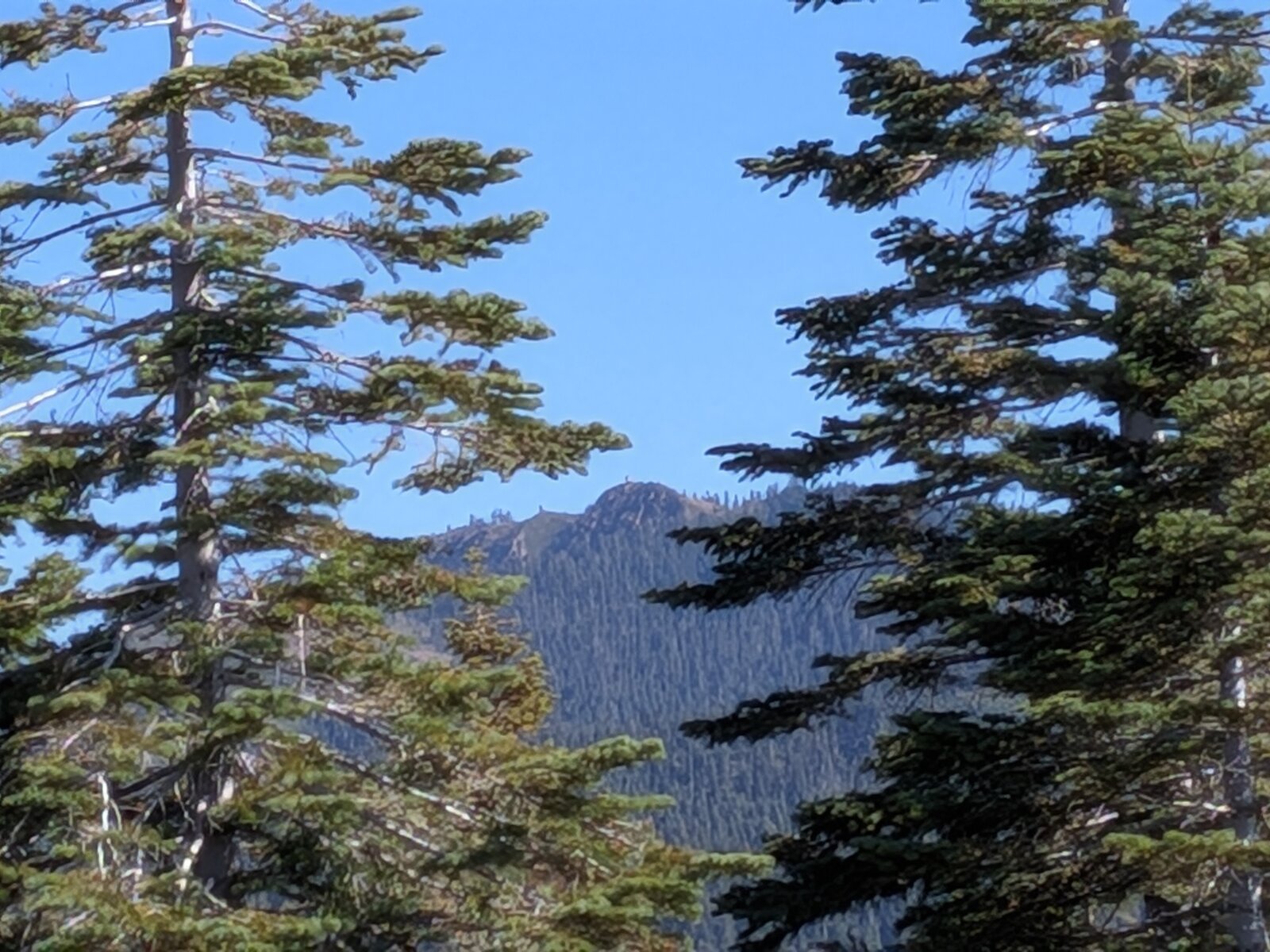
The top is a brushy knob of greenleaf manzanita (Arctostaphylos patula) with granite outcrops and scattered conifers. There is not much of a view, just glimpses between the trees.
Radio
All of my contacts here have been on 40 m SSB: 4 in March 2025, when Brian also made 4, and 5 in September 2026. I have had no noise, and I had cell service on the summit both times (Google Fi, T-Mobile).
Tracks and map
GPX: W6-NS-296-Clyde-Mountain-KC6X.gpx. It holds my hike up and down on 18 September 2026, with waypoints for the pullout and the summit.
Map: W6 SOTAfest 2027 CalTopo map. Open the folder for W6/NS-296 Clyde Mountain for the activation zone, tracks and photos.