A Winter Day in the Owens Valley
This was one of those magical winter days, warm in the sun, winter in the mountains, light wind on the ground, interesting things happening in the sky. This is why I find SOTA so great and rewarding.
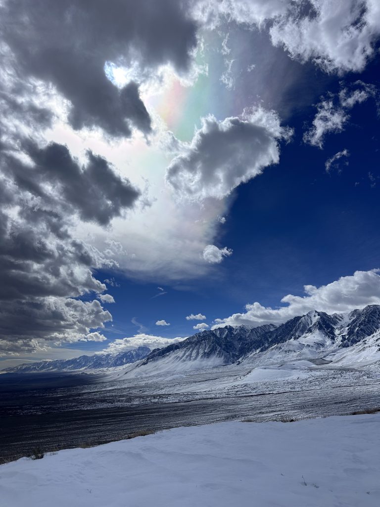
(above) From summit of Red Mountain (W6/IN-049).
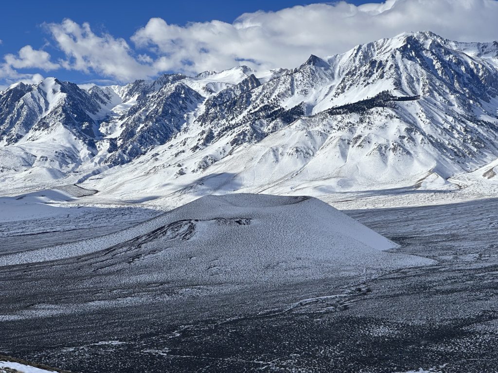
(above) Red Mountain (W6/IN-049) taken from summit of Poverty Hills (W6/IN-050)

(above) Big mountains, little Bronco.
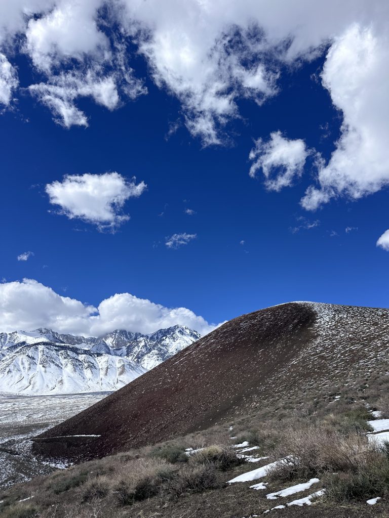
Looking toward Taboose Pass from Poverty Hills (W6/IN-050).
(above) Hiking up Red Mountain (W6/IN-049).