
7348 is a 6-pointer east of Highway 89 with a rocky top and big views. There is no trail, but the direct line is short: half a mile and 480 ft straight up across old terraces. Randy KE6X and I have activated it twice, on 3 November 2025 and on the morning of 13 September 2026, and the second time we found a much shorter way up.
Getting there
On Highway 89, 1.2 miles north of the Forest Road 07 turnoff at Little Truckee Summit, turn right (east) onto Henness Pass Road at 39.50486, -120.26256. It is an excellent gravel road. There is a vault toilet beside it about a mile in, at 39.50654, -120.24360. After 3.3 miles turn right onto Tahoe National Forest road 450-20 at 39.50718, -120.20969.
Road 450-20 is a very good forest road. Follow it for 2.7 miles to 39.50067, -120.17290, at about 6,870 ft, and park. In September 2026 we had to cut one log and move another to get through, and it took us 28 minutes including that work, in Randy's Subaru Outback Wilderness. Just past the parking spot, at 39.50005, -120.17224, snowbrush now blocks the road.
The hike
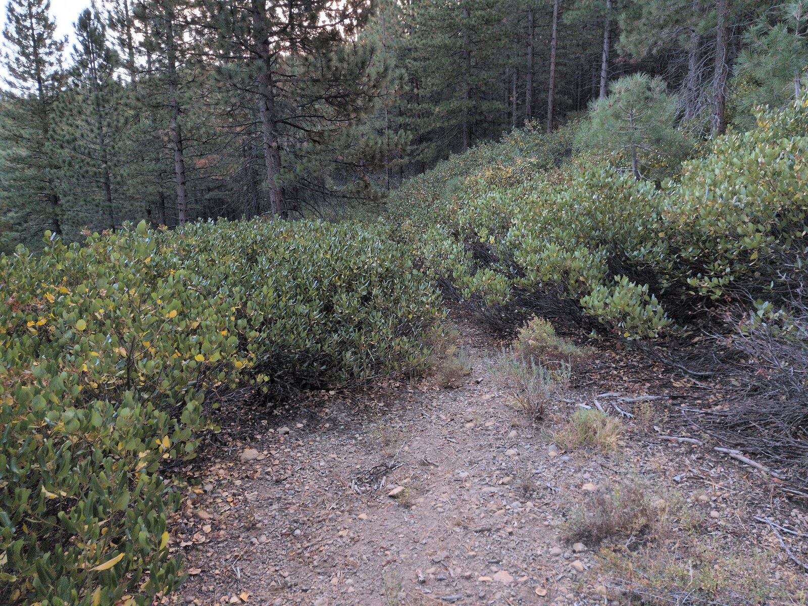
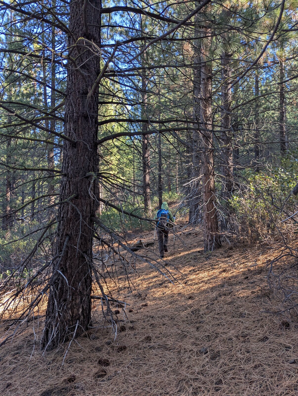
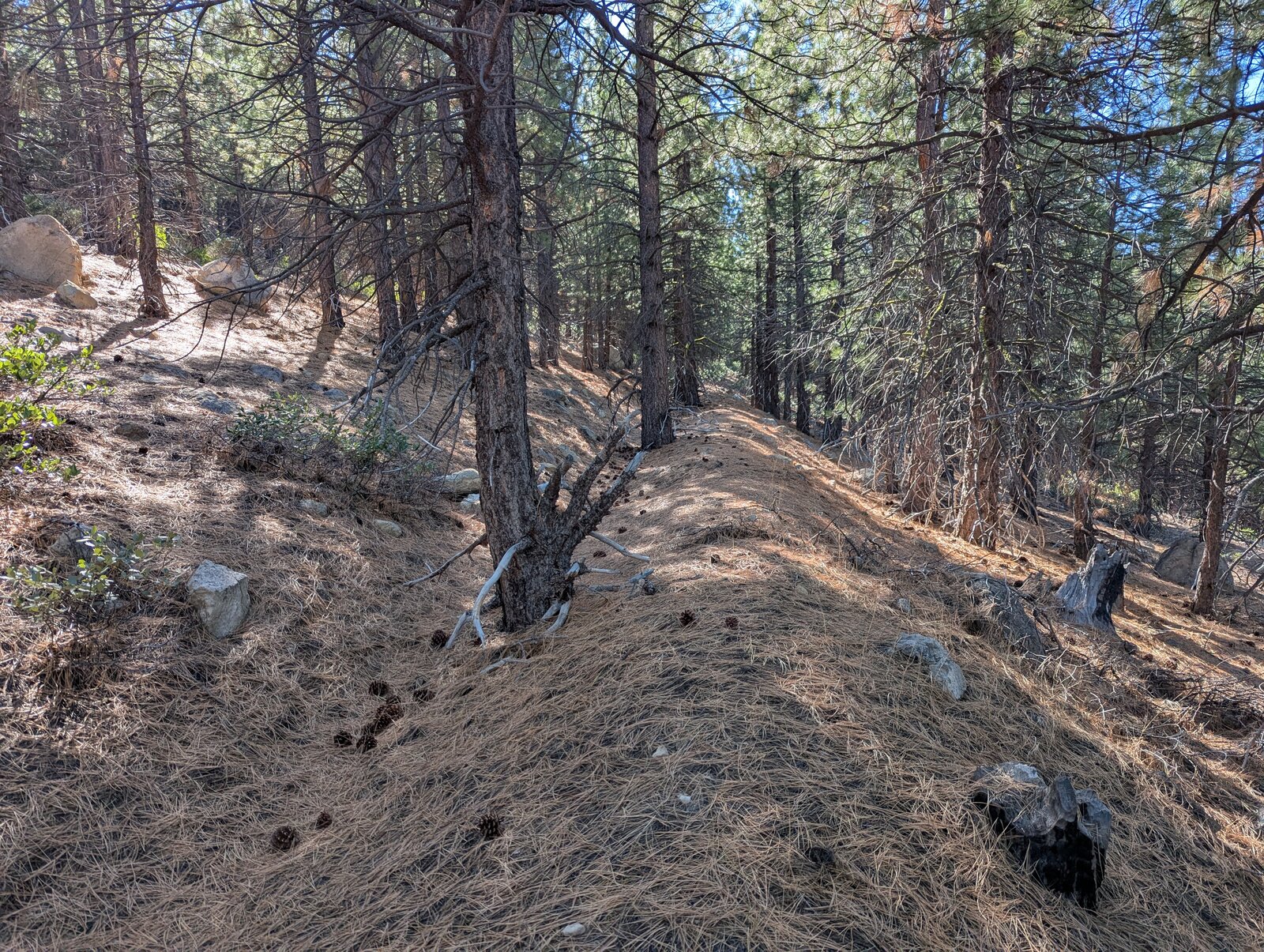
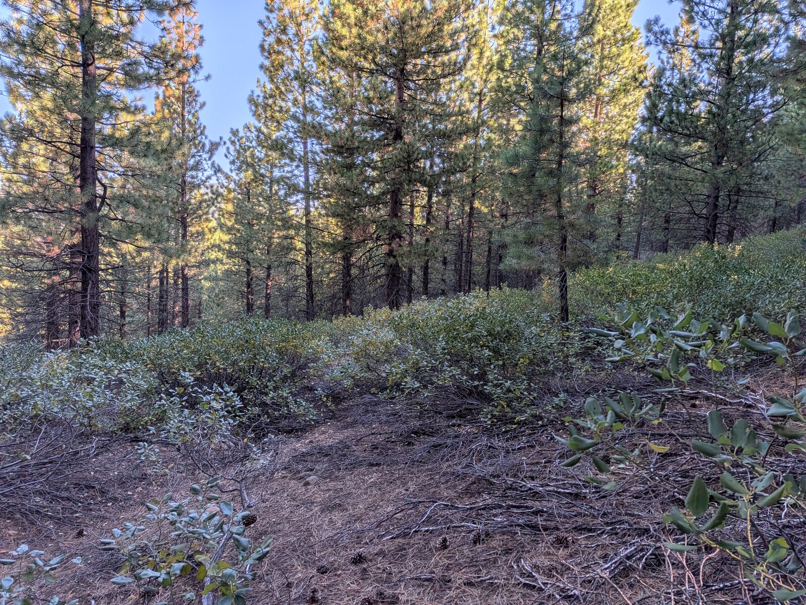
From the parking spot go straight up the slope to the east-south-east, crossing a series of old terraces: 0.55 miles and 480 ft to the top. It took us 27 minutes going up and 24 coming down in 2026. In 2025 we followed the terraces round instead, which was a mile and took 38 minutes; our 2026 ascent was a good route. The brush at the bottom, at the start of the hike, is quite dense, but it opens up after a while. The terraces and the replanted trees on them are likely from a logging operation perhaps 30 years ago.
Under the pines I found woodland pinedrops (Pterospora andromedea), little prince's pine (Chimaphila menziesii) and bush chinquapin (Chrysolepis sempervirens), with ponderosa pine near the road.
On the summit
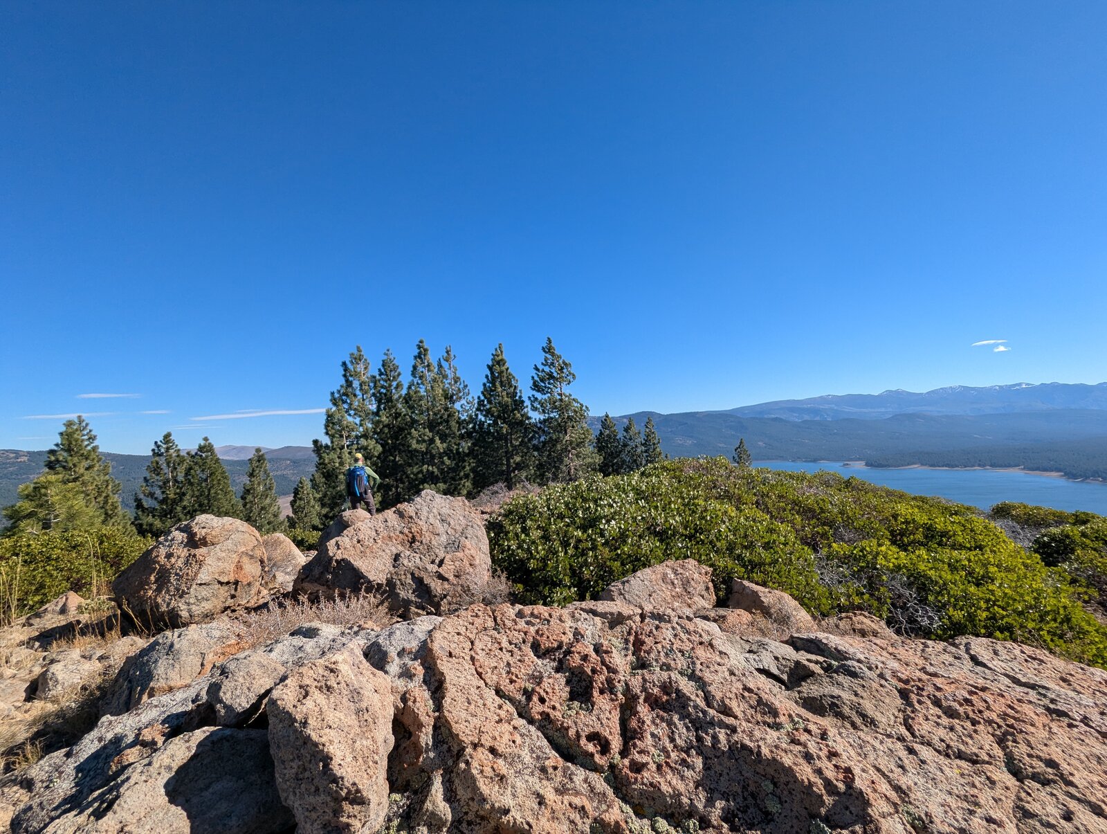
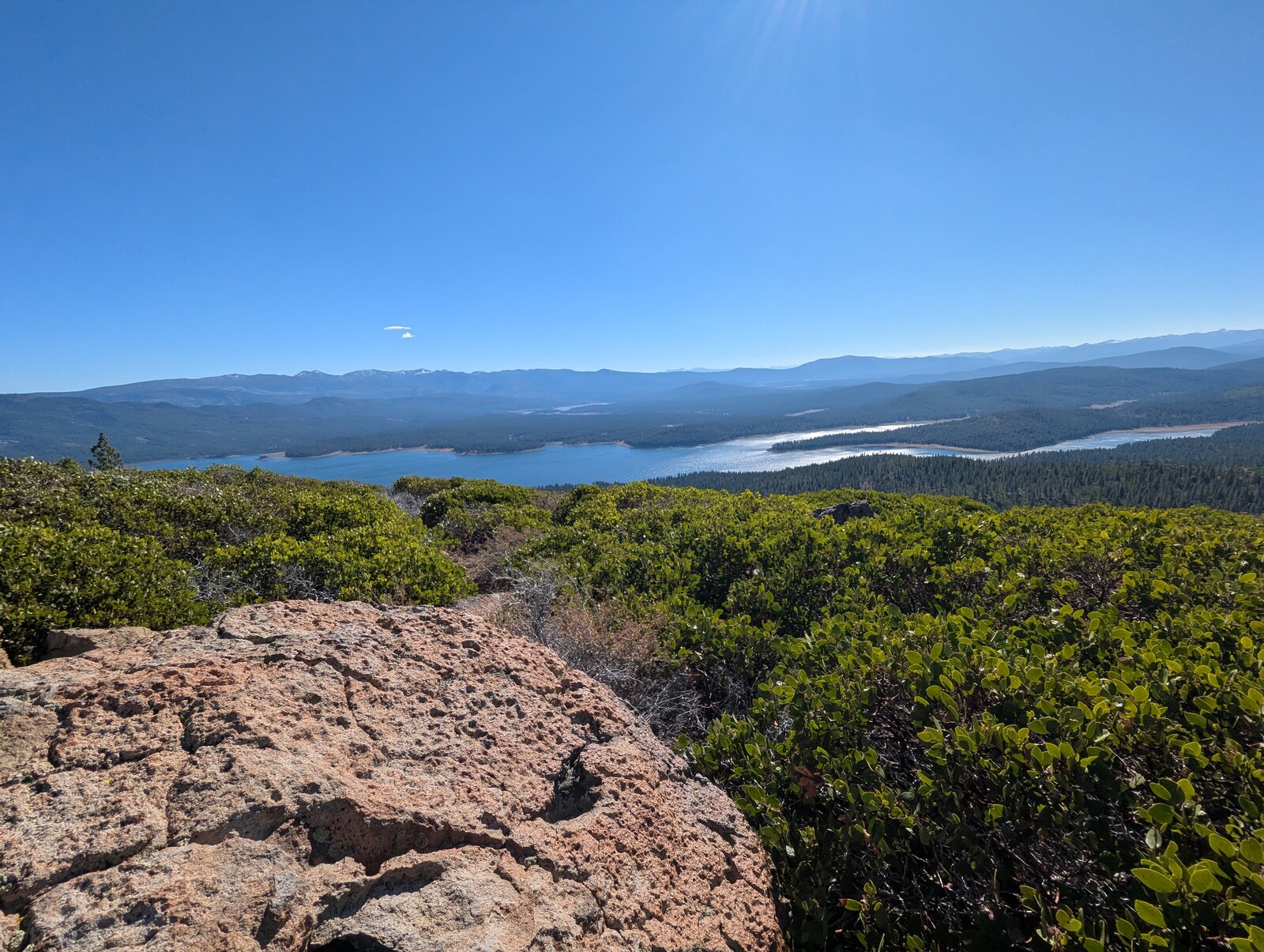
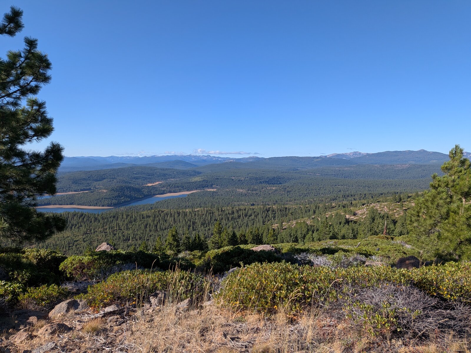
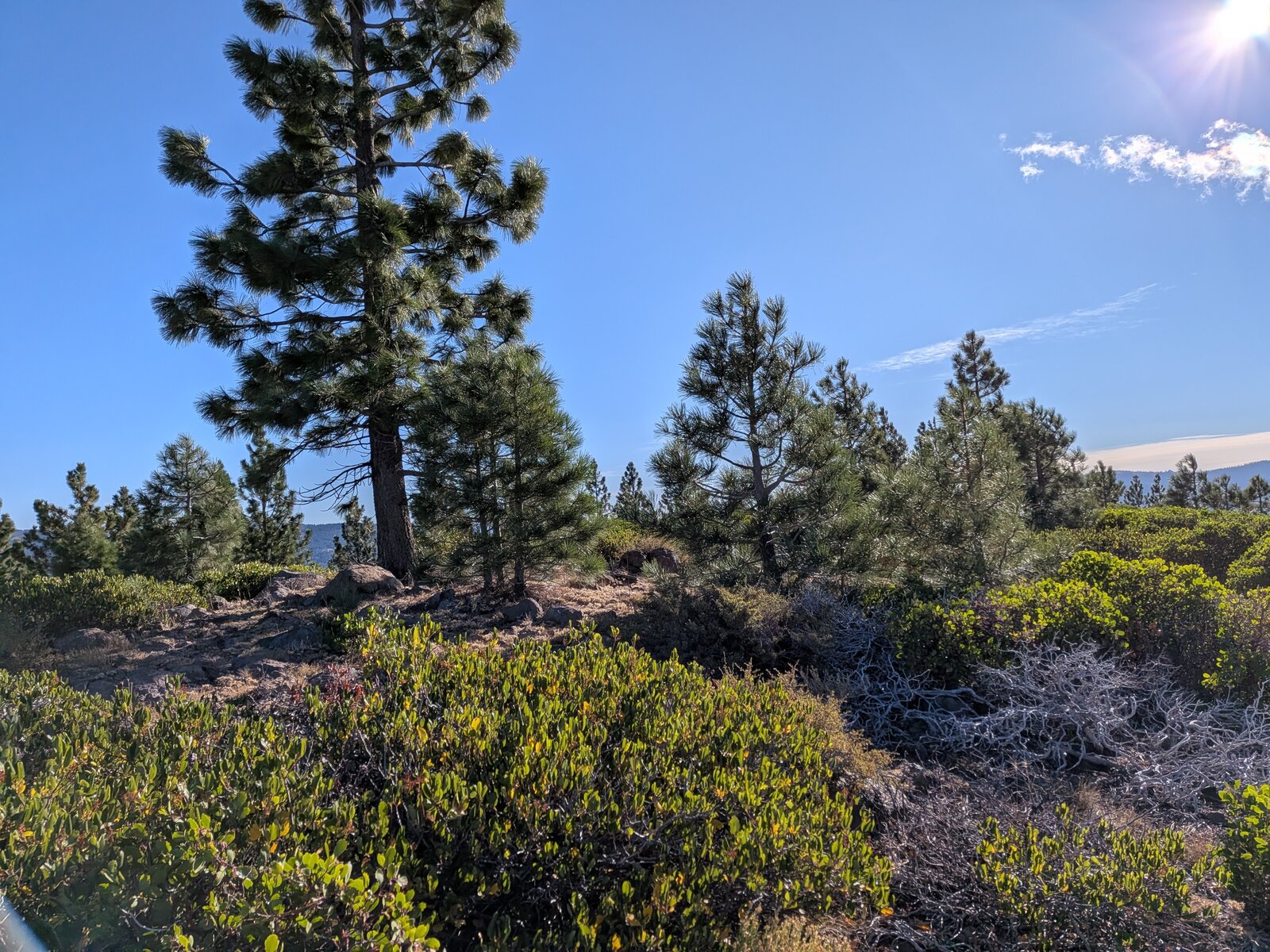
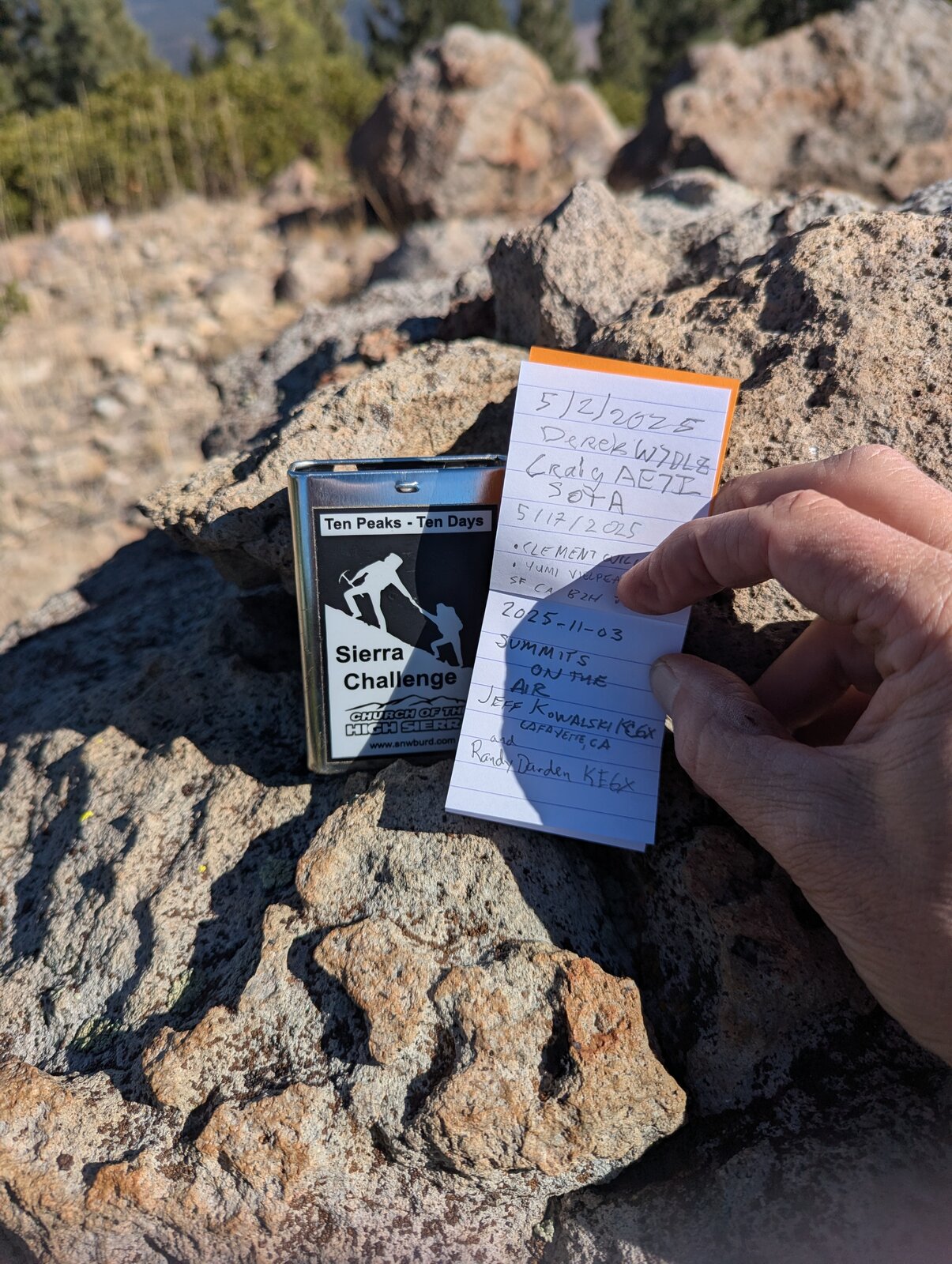
The top is a rocky outcrop surrounded by low brush, with a summit register. The activation zone is narrow. Among the rocks are Mahala mat (Ceanothus prostratus) and a few Jeffrey pines. The views are excellent, with Stampede Reservoir to the south-east.
Radio
All of my contacts here have been SSB. In November 2025 I made 6, 5 on 40 m and 1 on 15 m, and Randy made 5. In September 2026 I made 7, 6 on 40 m and 1 on 20 m, and Randy made 4. I have had no noise, and I had cell service on the summit both times (Google Fi, T-Mobile).
Tracks and map
GPX: W6-NS-220-7348-KC6X.gpx. It holds our recorded drive along road 450-20 and my hike up and down on 13 September 2026, with waypoints for both turnoffs, the vault toilet, the parking spot, the blocked road and the summit.
Map: W6 SOTAfest 2027 CalTopo map. Open the folder for W6/NS-220 7348 for the activation zone, tracks and photos.