
Sagehen Hills is a quick 8-pointer once you have driven to it: a seven-minute walk up through open forest from the road. Randy KE6X and I activated it on the afternoon of 3 November 2025.
Getting there
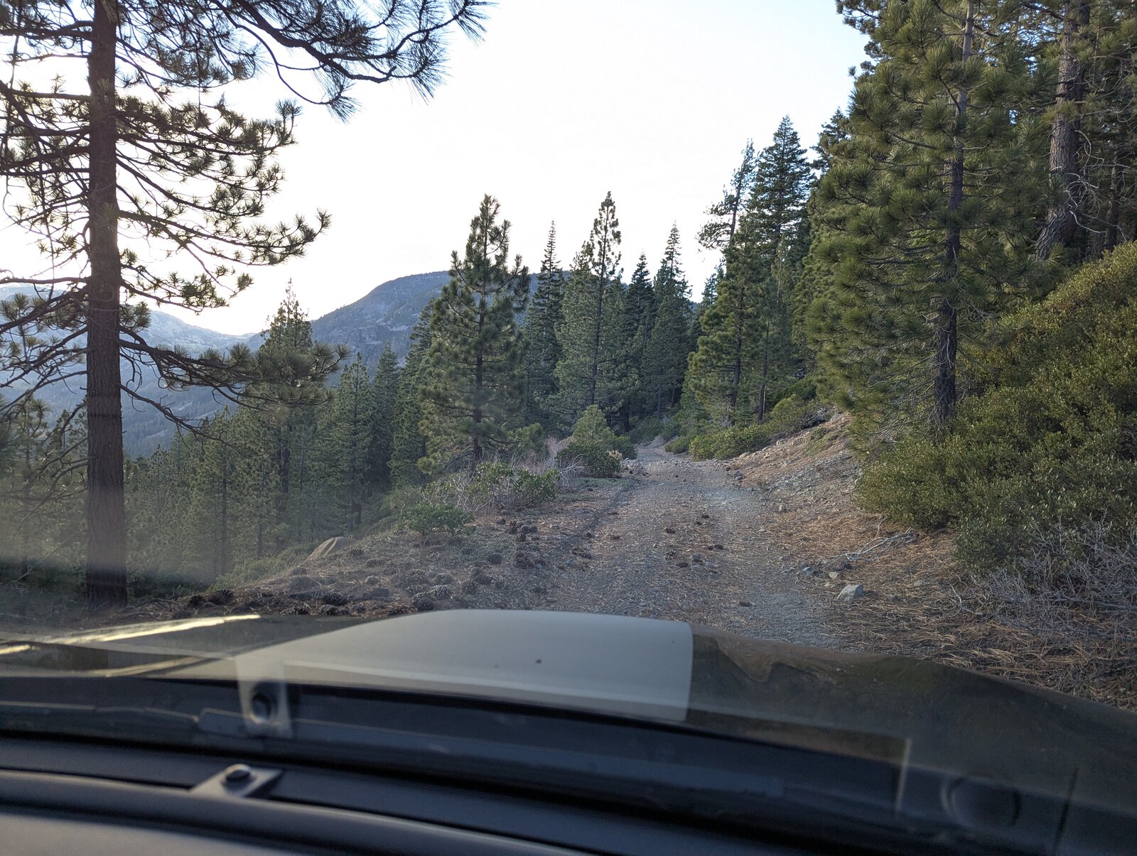
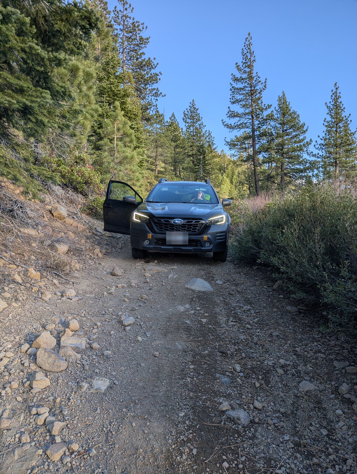
Turn west off Highway 89 onto Sagehen Road at 39.44629, -120.21438. The road is quite good at first but gets progressively worse. From the junction at 39.42046, -120.28228 it is about 2.3 miles more, winding south-east, to where we parked at 39.40623, -120.25800, at about 7,520 ft. By the last half mile the road is chunky. We drove it in Randy's Subaru Outback Wilderness.
On the way in we stopped at Sagehen Creek Campground (39.43422, -120.25793) to see whether it was open so late in the season. It was, and we found a man and his dog stranded there: he had left his truck lights on, drained the battery, and had been trying to get out for a couple of days. After some shuffling Randy found jumper cables and we got the truck going.
The hike
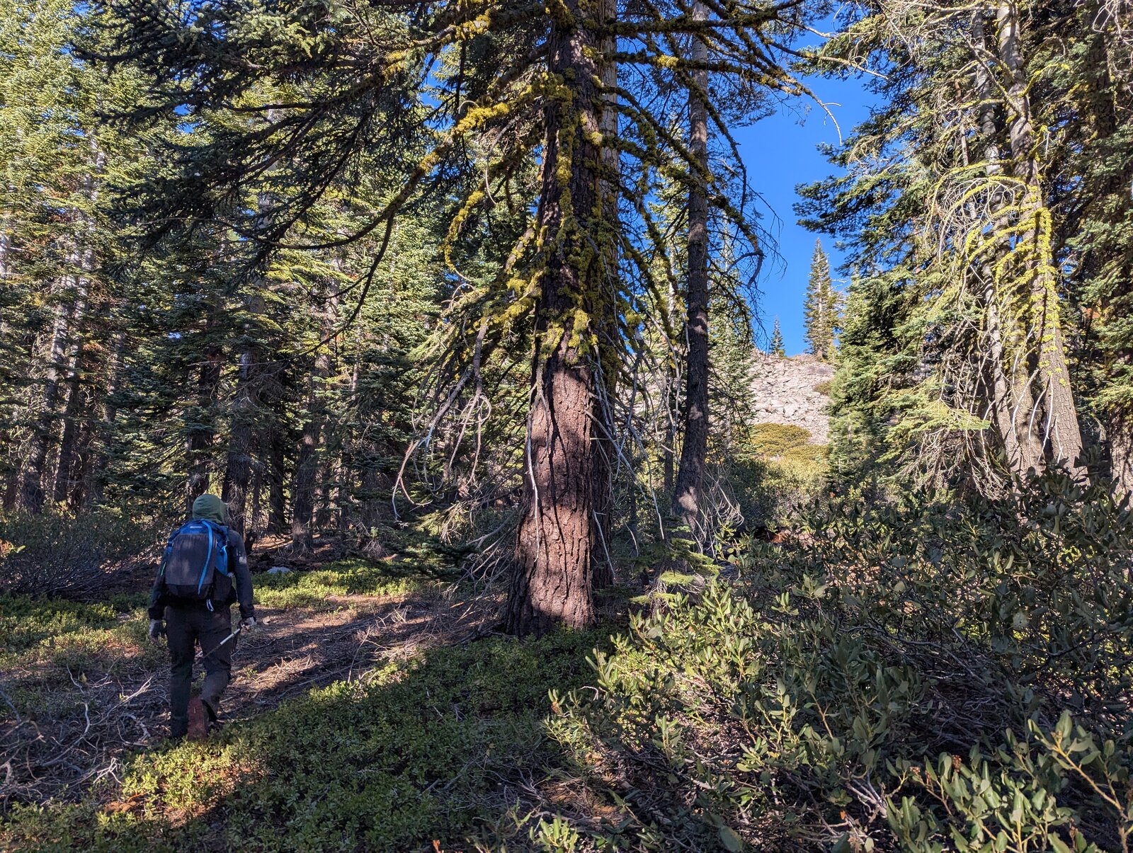
There is no trail, and none is needed. From the road, walk east up through open forest: 0.4 miles and about 190 ft to the top. It took us 7 minutes each way.
On the summit
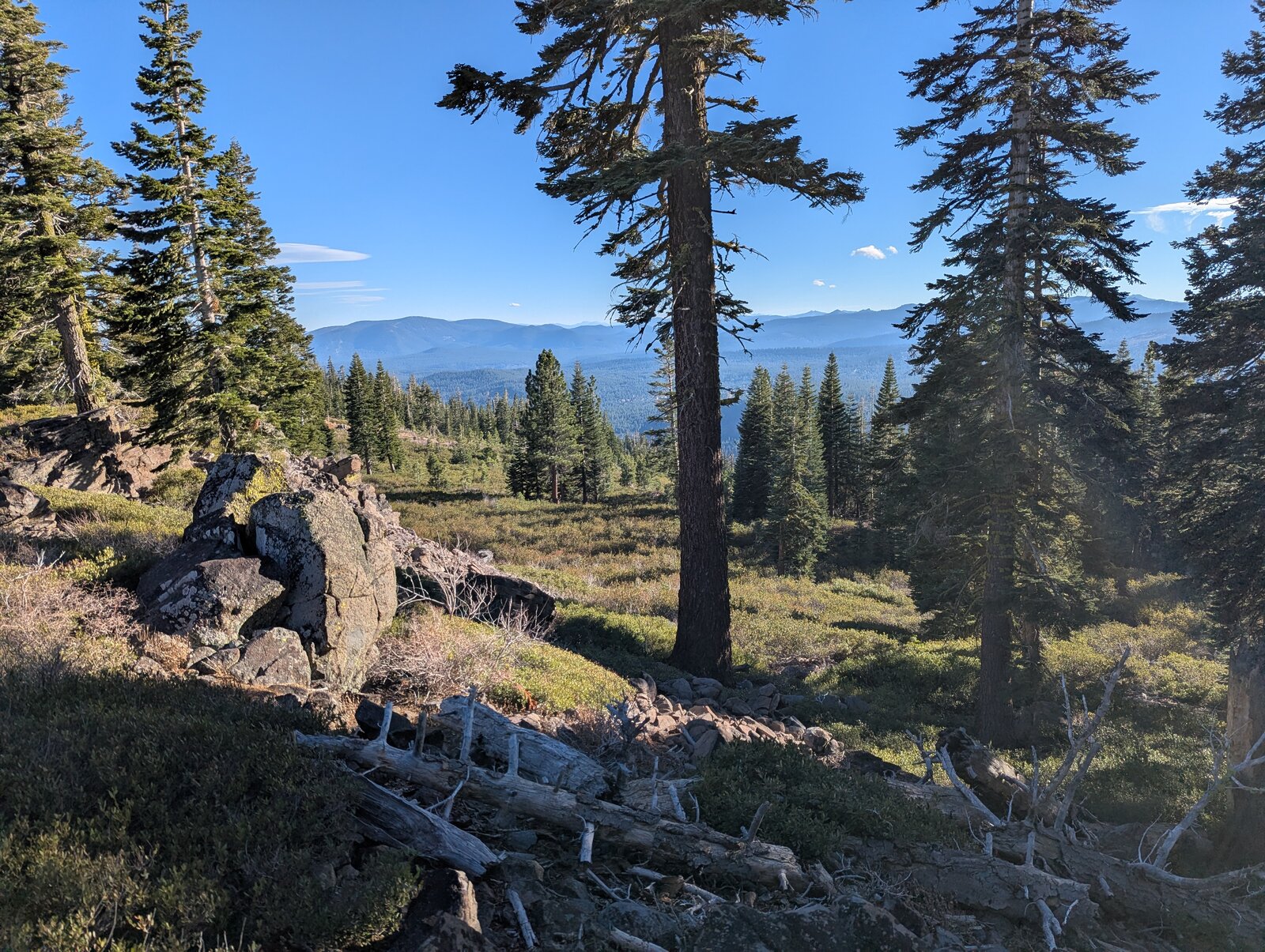
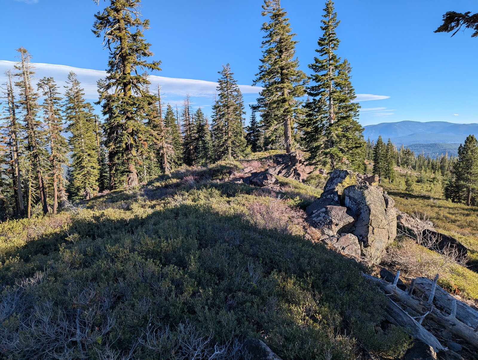
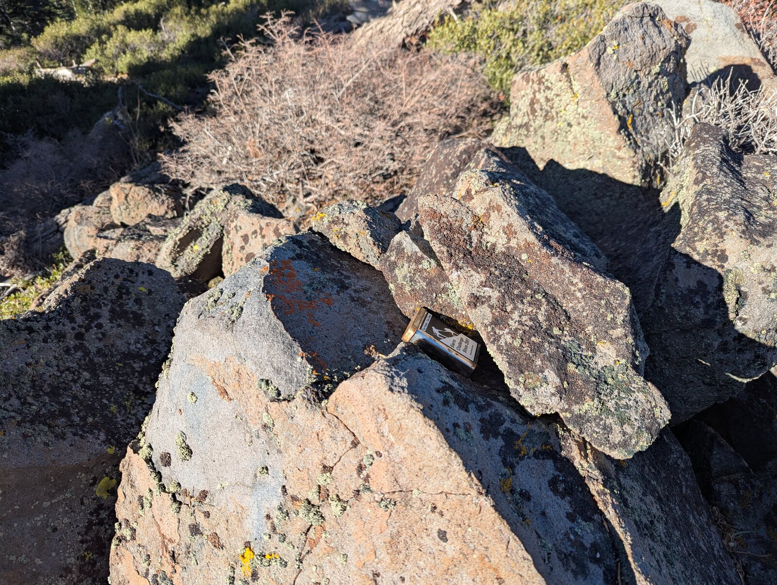
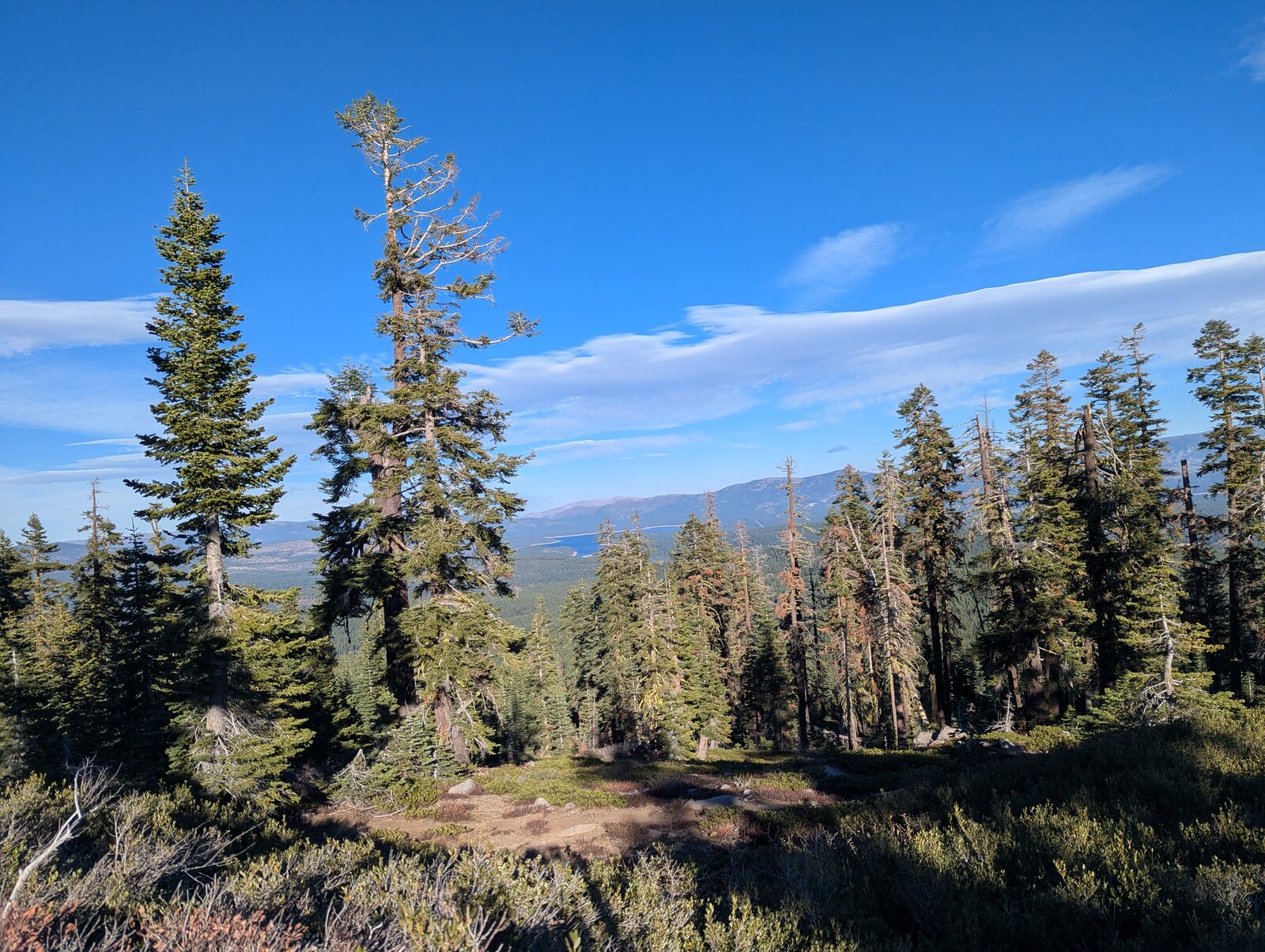
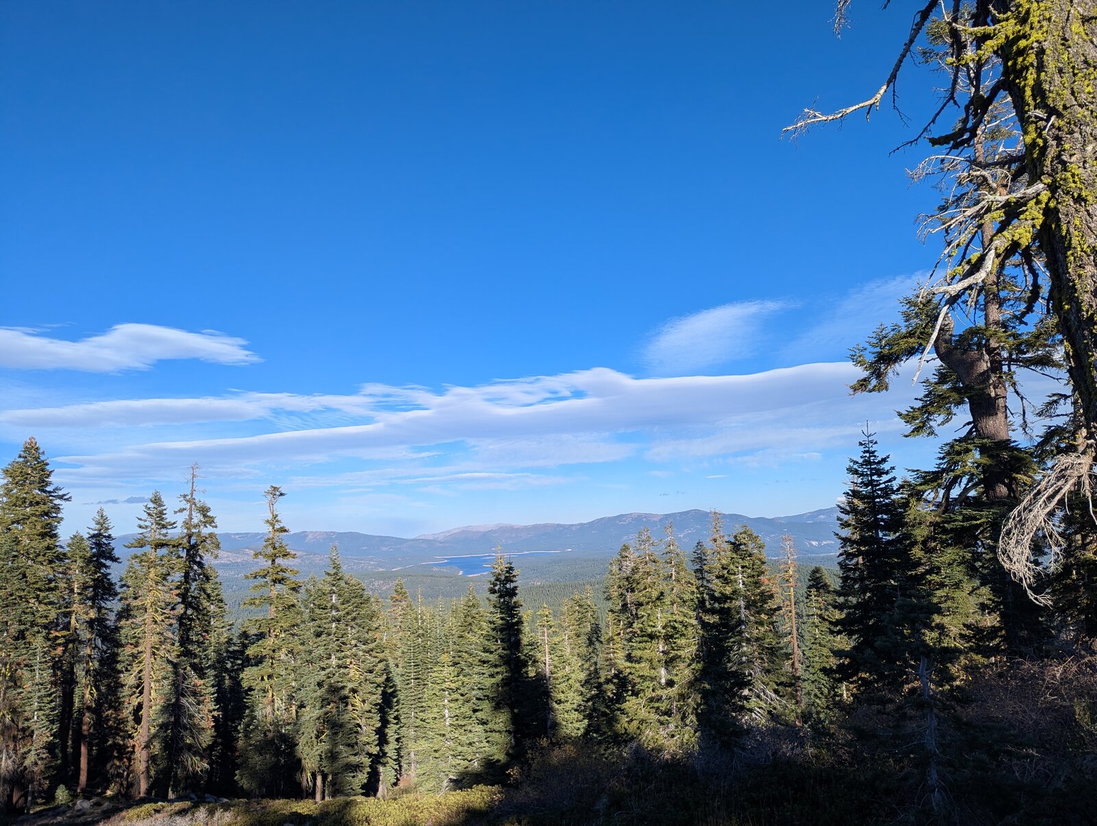
The top is a rocky ridge among scattered conifers, with a register tucked into the rocks and good views over the trees, north-east to Stampede Reservoir.
Radio
I made 6 contacts on SSB, 5 on 40 m and 1 on 20 m, and Randy made 5. We were on the summit from about 14:40 to 15:25. I had no noise, and cell coverage is good.
Tracks and map
GPX: W6-NS-193-Sagehen-Hills-KC6X.gpx. It holds my hike up and down on 3 November 2025, the drive line from my 2025 map (not a recorded track), and waypoints for the highway turnoff, the campground, the junction, the parking spot and the summit.
Map: W6 SOTAfest 2027 CalTopo map. Open the folder for W6/NS-193 Sagehen Hills for the activation zone, tracks and photos.