
Grouse Ridge is a drive-up 8-pointer with a derelict fire lookout, an outhouse with a view, and a very rough road to get there: bring a high-clearance vehicle. I activated it on the afternoon of 28 September 2025, straight after Lowell Hill Ridge.
Getting there
From I-80 take exit 161 and follow Highway 20 west for 4.2 miles, then turn right onto Bowman Lake Road (National Forest road 18) at 39.30394, -120.67143. After about 6.3 miles, at 39.37003, -120.67598, turn right onto the Grouse Ridge road (National Forest road 14). It is about 5 miles from there to the top.
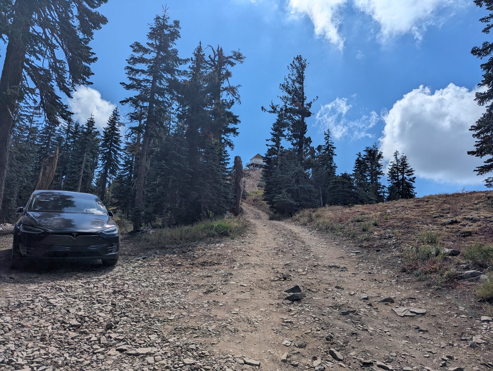
Brian AB6D warned me beforehand that Grouse Ridge Road was a “car destroyer”. Accurate. There are some very deep ruts and large rocks throughout, which made me plan my tire positioning carefully. I saw only one other vehicle that was not high-clearance, a minivan of some sort, and it was struggling. Even the jacked-up pickups were driving with caution. It was a stressful drive in my Tesla Model X. I parked just below the summit at 39.38669, -120.61224. It took me about an hour from Highway 20.
On the summit
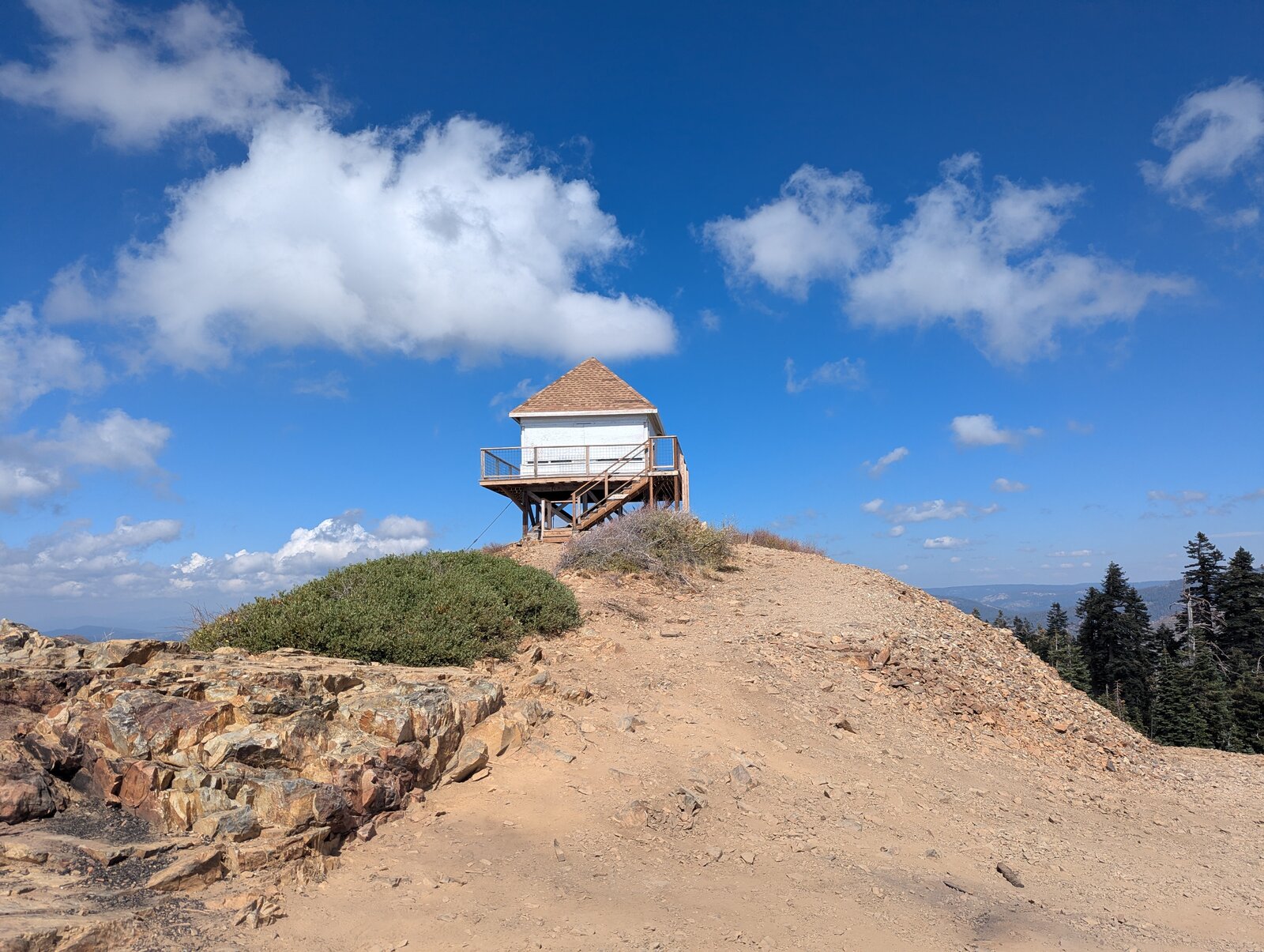
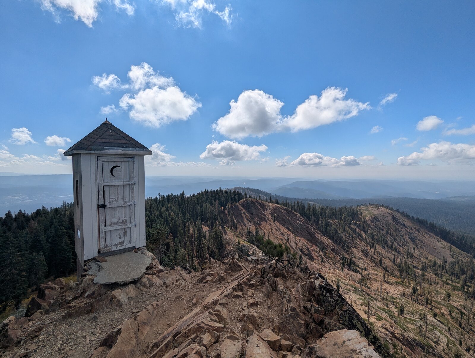
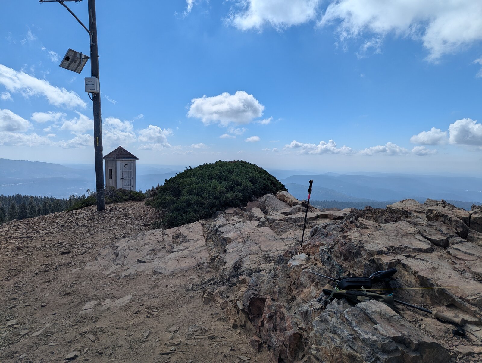
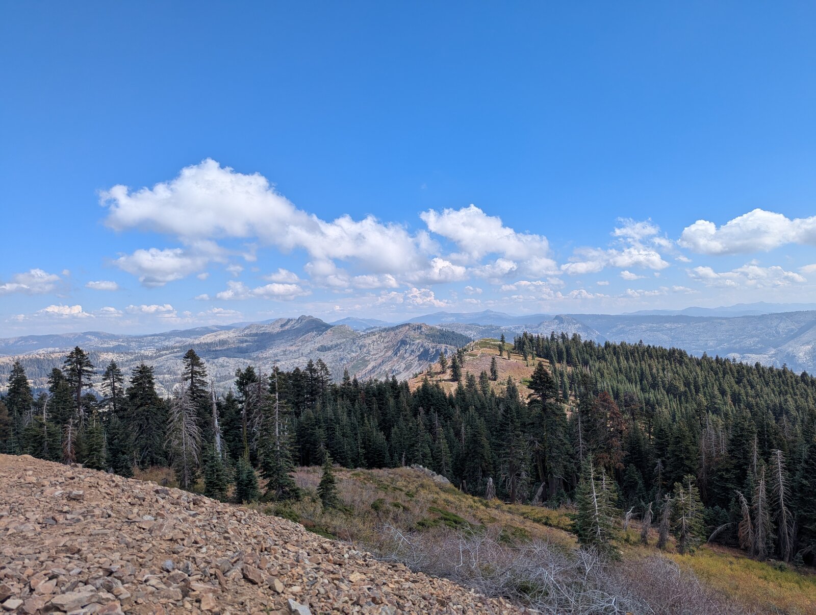
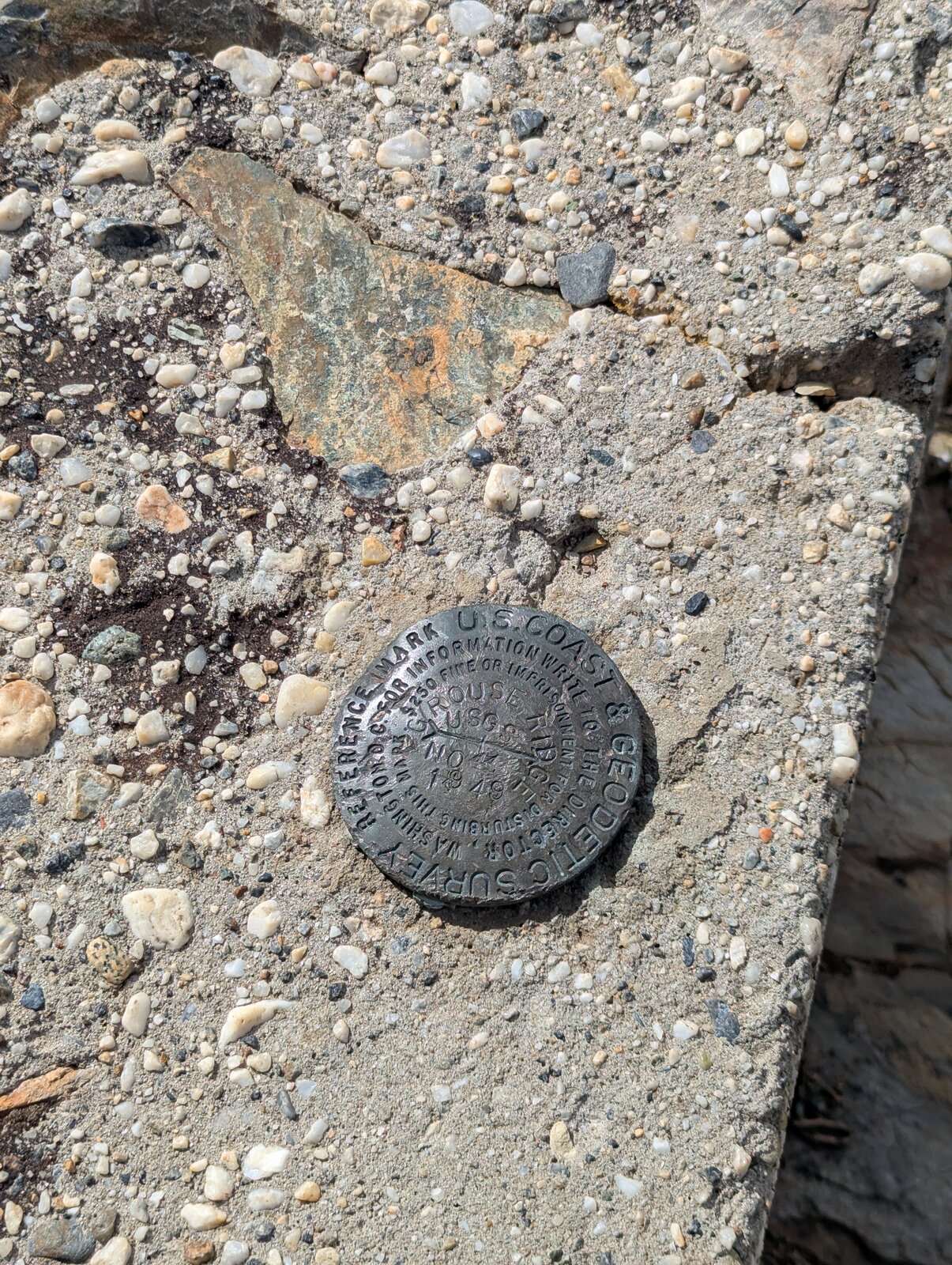
From the car it is a walk of a minute or two up to the top. The summit is a bare, rocky ridge with a fire lookout on stilts at one end, a wooden outhouse perched on the edge, and a benchmark set in concrete. The views are wide in every direction. The lookout is derelict. The outhouse is usable but unmaintained: look out below!
Radio
I made 12 contacts on SSB, 11 on 20 m and 1 on 40 m, in about half an hour on the summit. I had no noise, and I had cell service (Google Fi, T-Mobile).
Tracks and map
GPX: W6-NS-195-Grouse-Ridge-KC6X.gpx. It holds the Grouse Ridge road as drawn on my 2025 map (not a recorded track), with waypoints for both turnoffs, where I parked, and the summit.
Map: W6 SOTAfest 2027 CalTopo map. Open the folder for W6/NS-195 Grouse Ridge for the activation zone and photos.