
7605 is a quick, forested 8-pointer off Haskell Peak Road, a few miles east of Haskell Peak. There is no view from the top. I have activated it twice: alone on 12 September 2025, from the east, and on the evening of 16 May 2026 with Randy KE6X, from the west, when logs across the road stopped us short.
Getting there
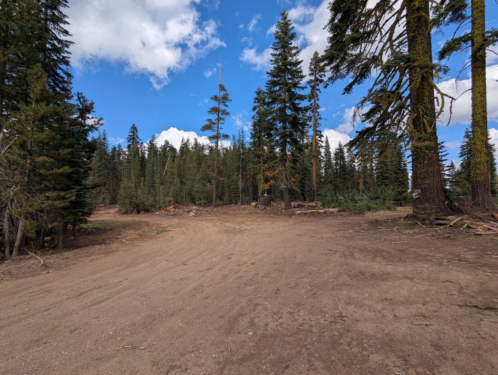
The usual start is from the east. From Sierra City take Highway 49 east for about 11 miles, then turn left onto Haskell Peak Road (National Forest road 09). After 3.2 miles turn sharp right onto a side road and follow it for 1.4 miles to a clearing at 39.64232, -120.49387, at about 7,220 ft.
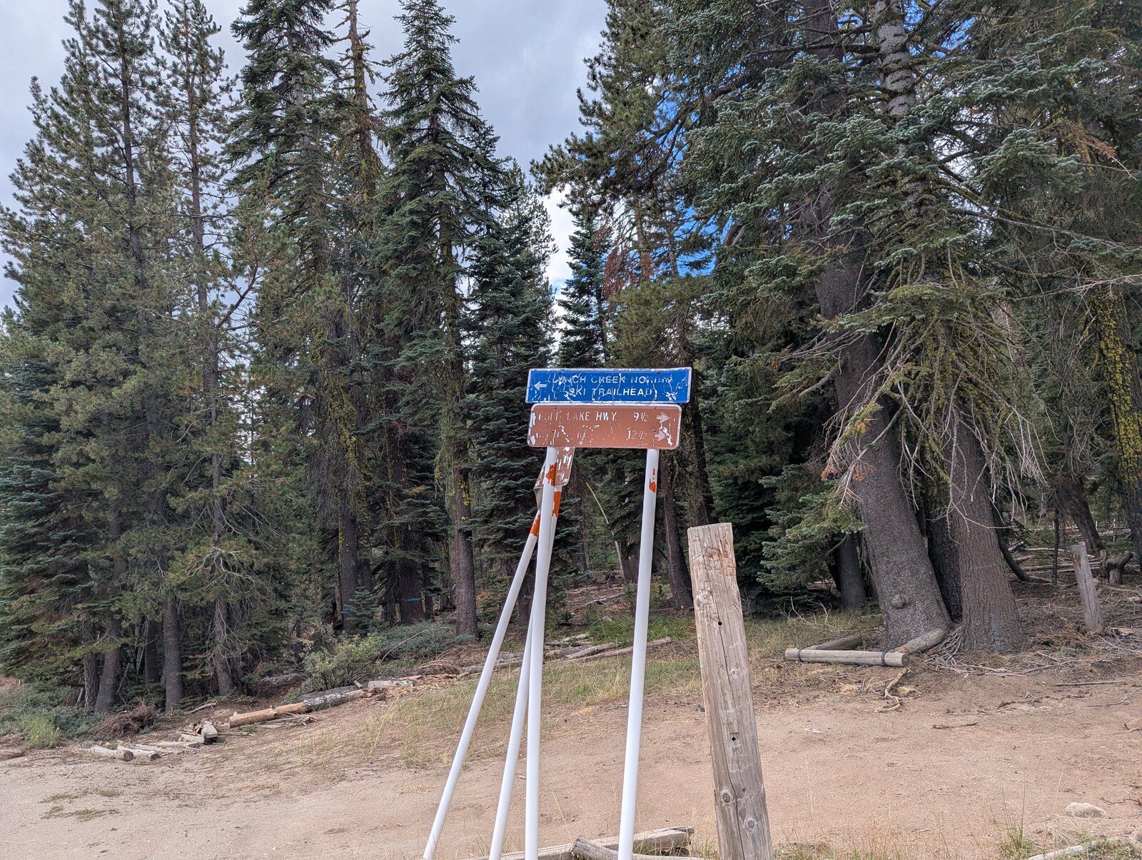
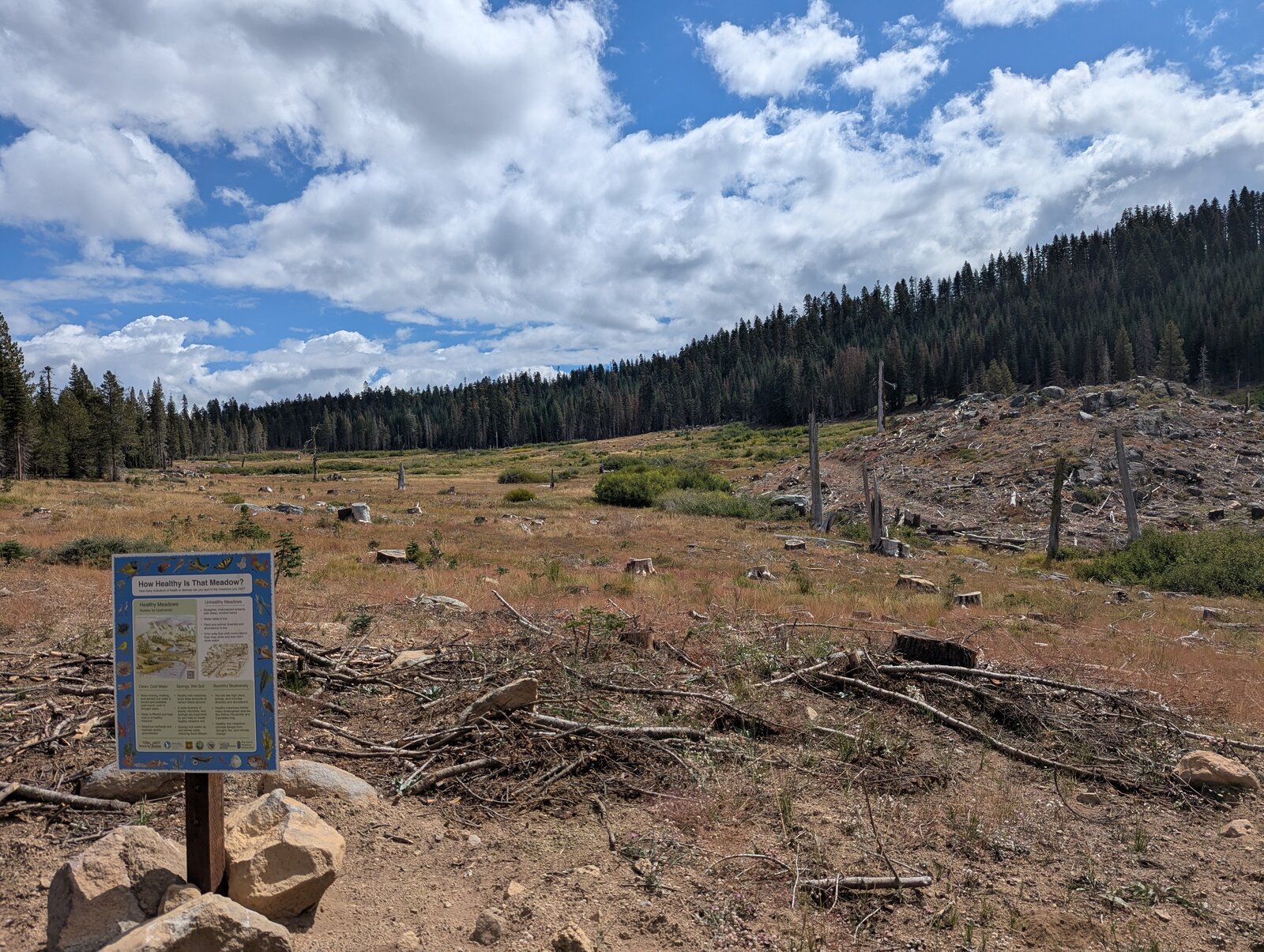
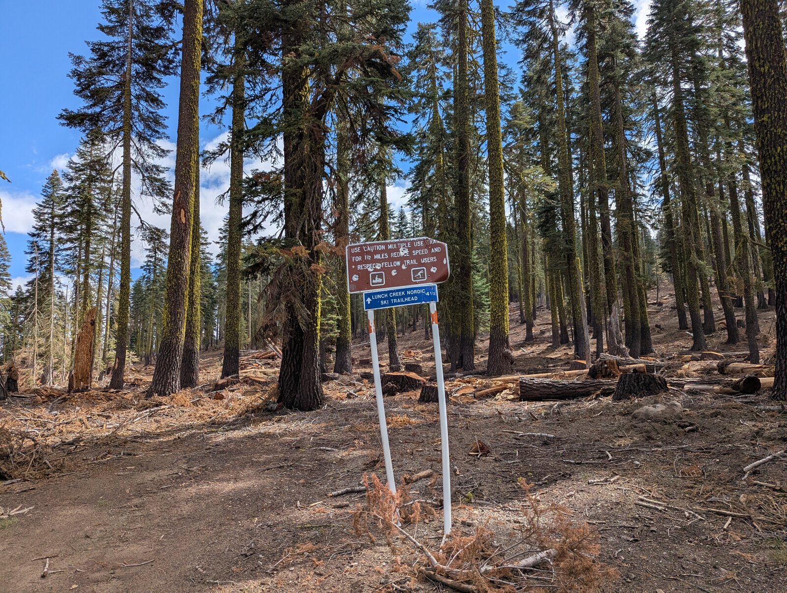
In September 2025 I came the other way, along road 09 from Haskell Peak, and the road was very driveable all the way. Coming from Haskell Peak, it is about 4 miles east along road 09 from the Gould Road turnoff to the side road. On the way you pass a signed junction for the Lunch Creek Nordic ski trailhead, and a meadow with an interpretive sign.
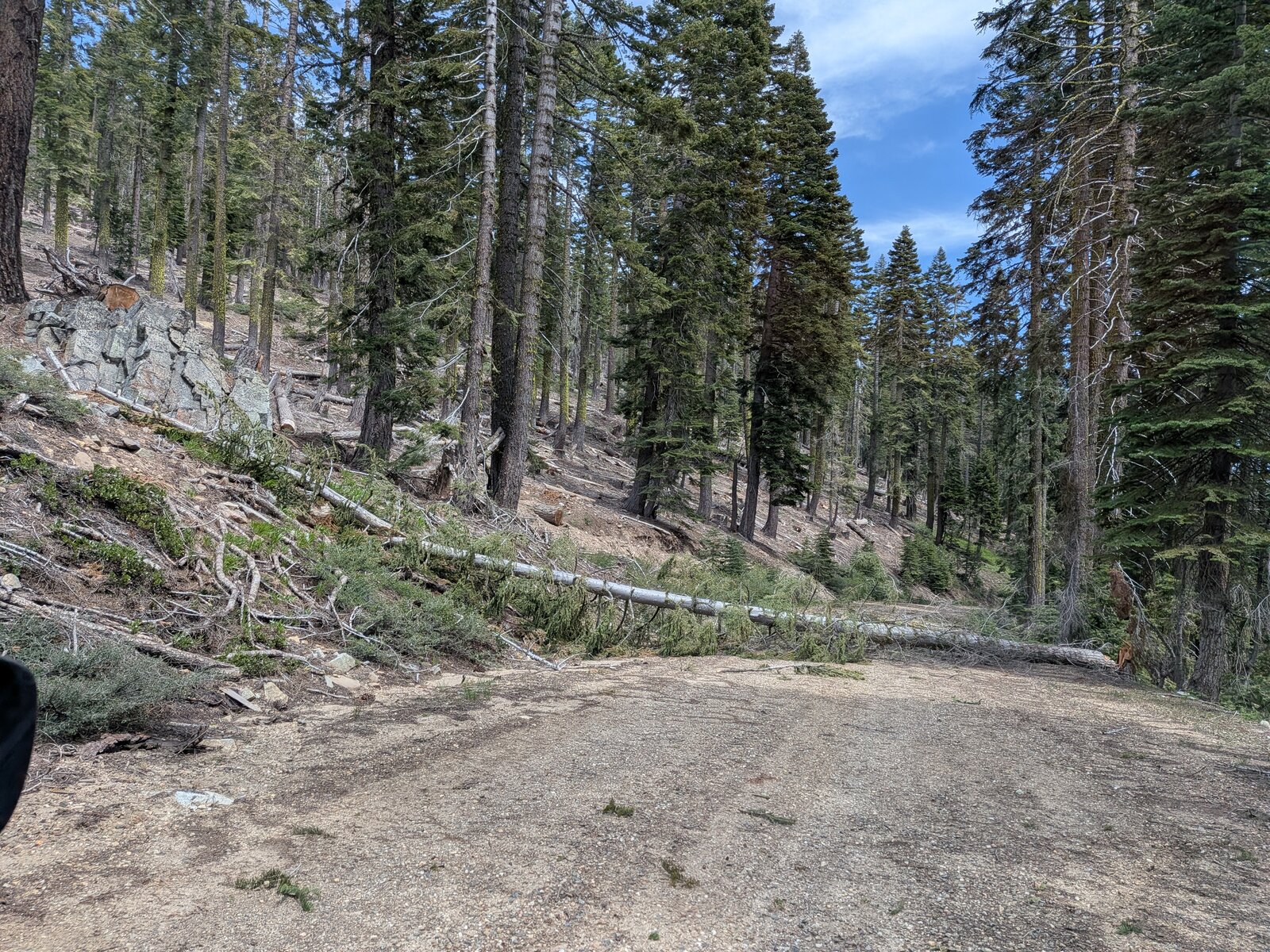
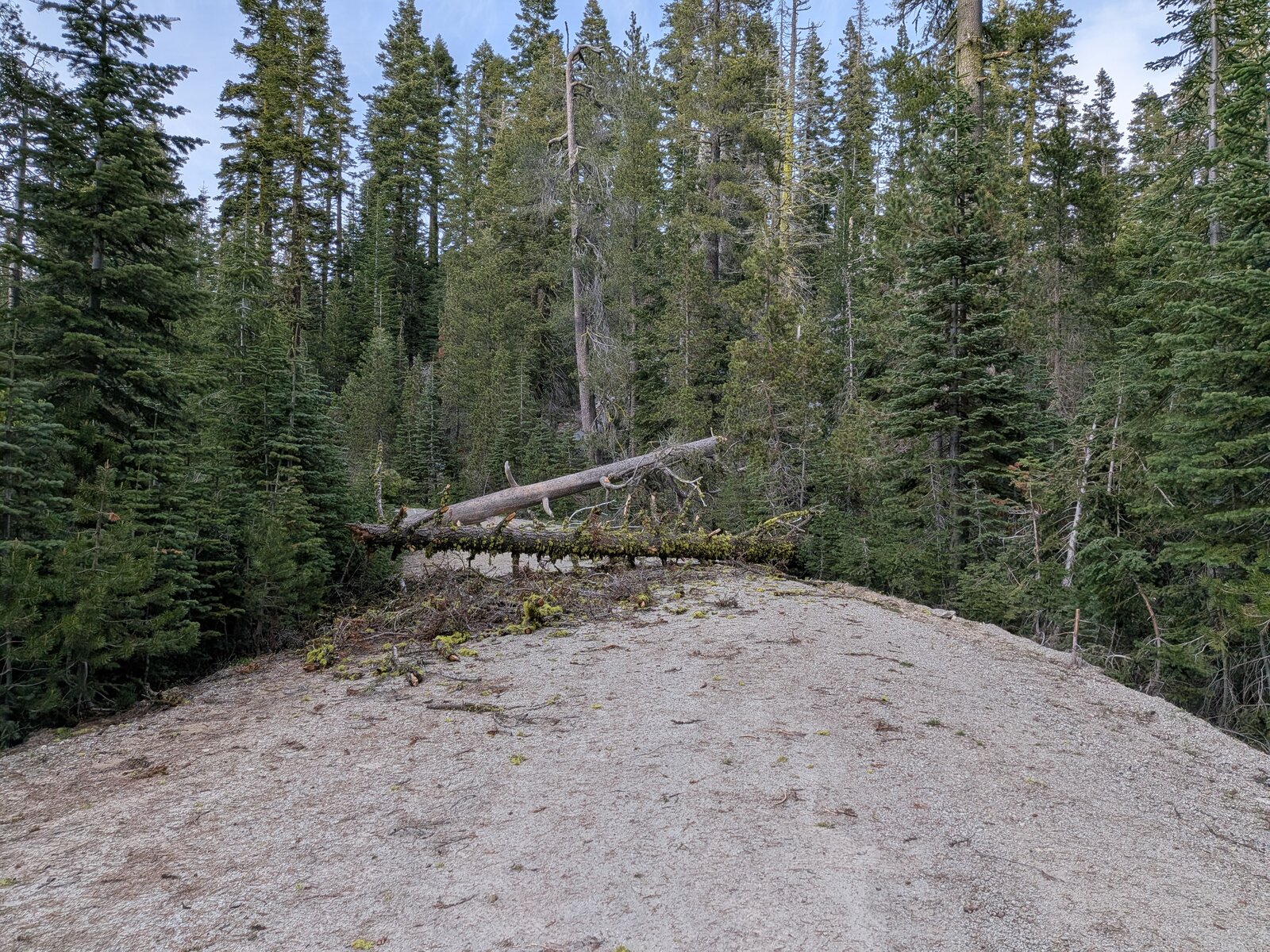
In May 2026 we had intended to continue east along road 09 from Haskell Peak, but a log obstructed us just past the Gould Road turnoff. So we went around and came in along road 09 from the east side, heading west, and met another set of logs, at 39.64147, -120.51461. From that obstruction the bushwhack up appeared to be no longer than my 2025 route, so we hiked from that spot.
The hike
None of the routes to the summit are trails. All are forest hikes with light bushwhacking. From the east it is about 1 mile and 375 ft up to the north-west, and it took me 21 minutes going up and 18 coming down.
From the logs on the west side it was 0.9 miles and about 690 ft up to the north-east: 36 minutes up and 24 down. It was steeper, for sure, with lots of slash, but we made it up.
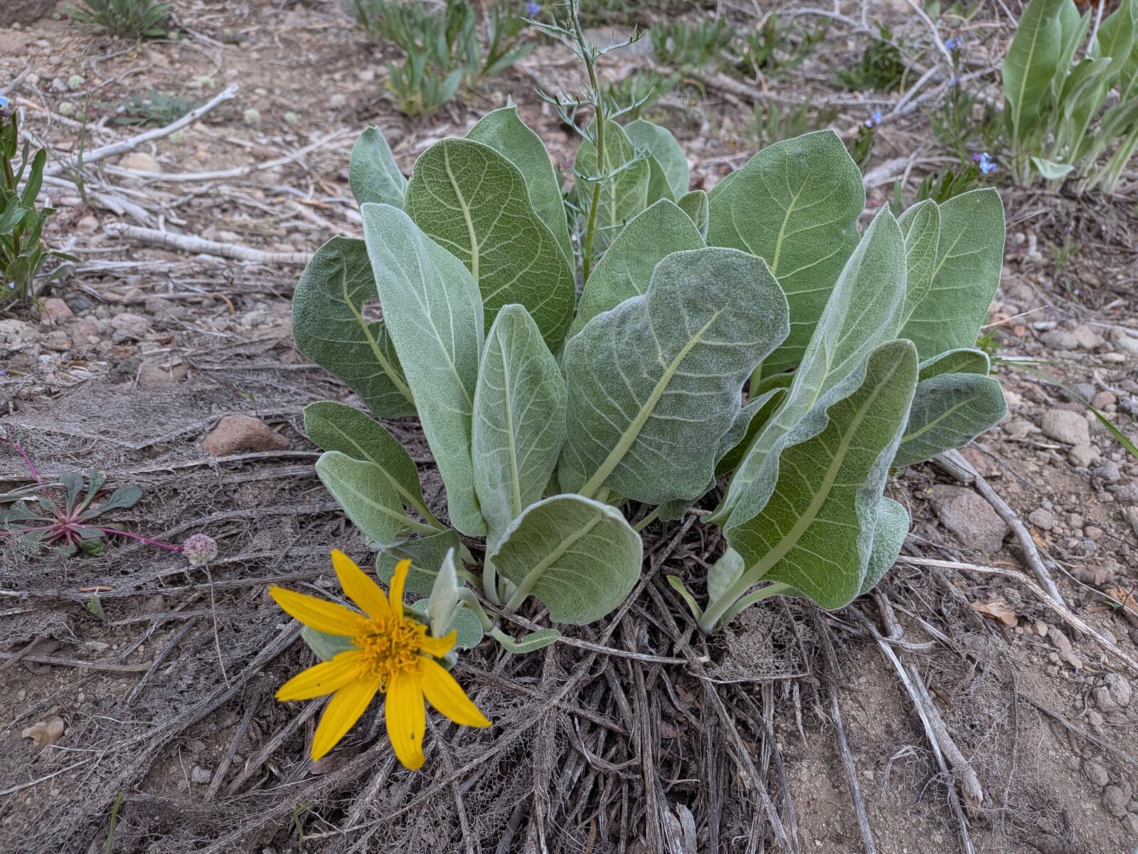
On the east side I found California red fir (Abies magnifica). In May the woolly mule's ears (Wyethia mollis) were in flower on the west side.
On the summit
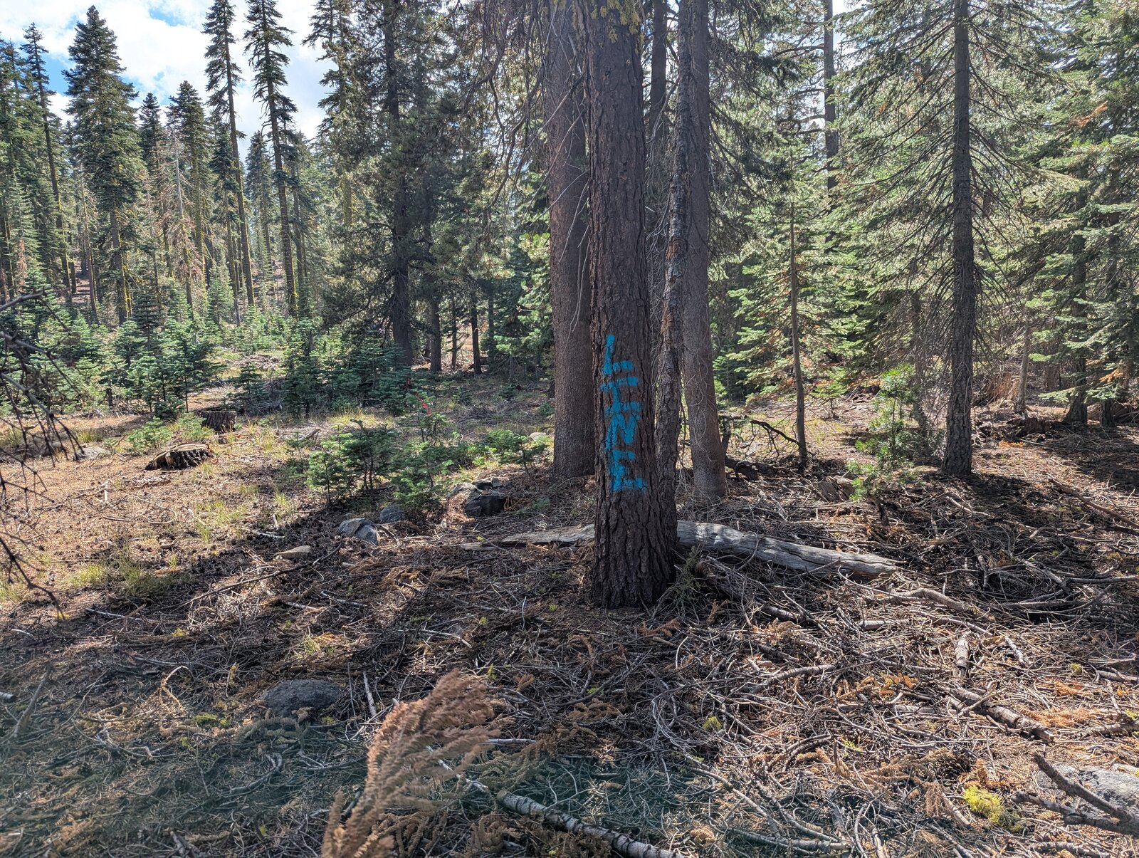
The top is in forest, and so is the activation zone. There are no views.
Radio
All of my contacts here have been SSB. In September 2025 I made 4, 3 on 40 m and 1 on 20 m. In May 2026 I made 4, all on 40 m, and Randy made 6. We were on the summit from about 18:00 to 19:40, which is after 00:00 UTC, so that activation is dated 17 May 2026 in the SOTA database. I have had no noise, and I had cell service both times (Google Fi, T-Mobile).
Tracks and map
GPX: W6-NS-203-7605-KC6X.gpx. It holds my hikes up and down on 12 September 2025 (from the east) and 16 May 2026 (from the west), with waypoints for the east parking spot, the logs and the summit.
Map: W6 SOTAfest 2027 CalTopo map. Open the folder for W6/NS-203 7605 for the activation zone, tracks and photos.