
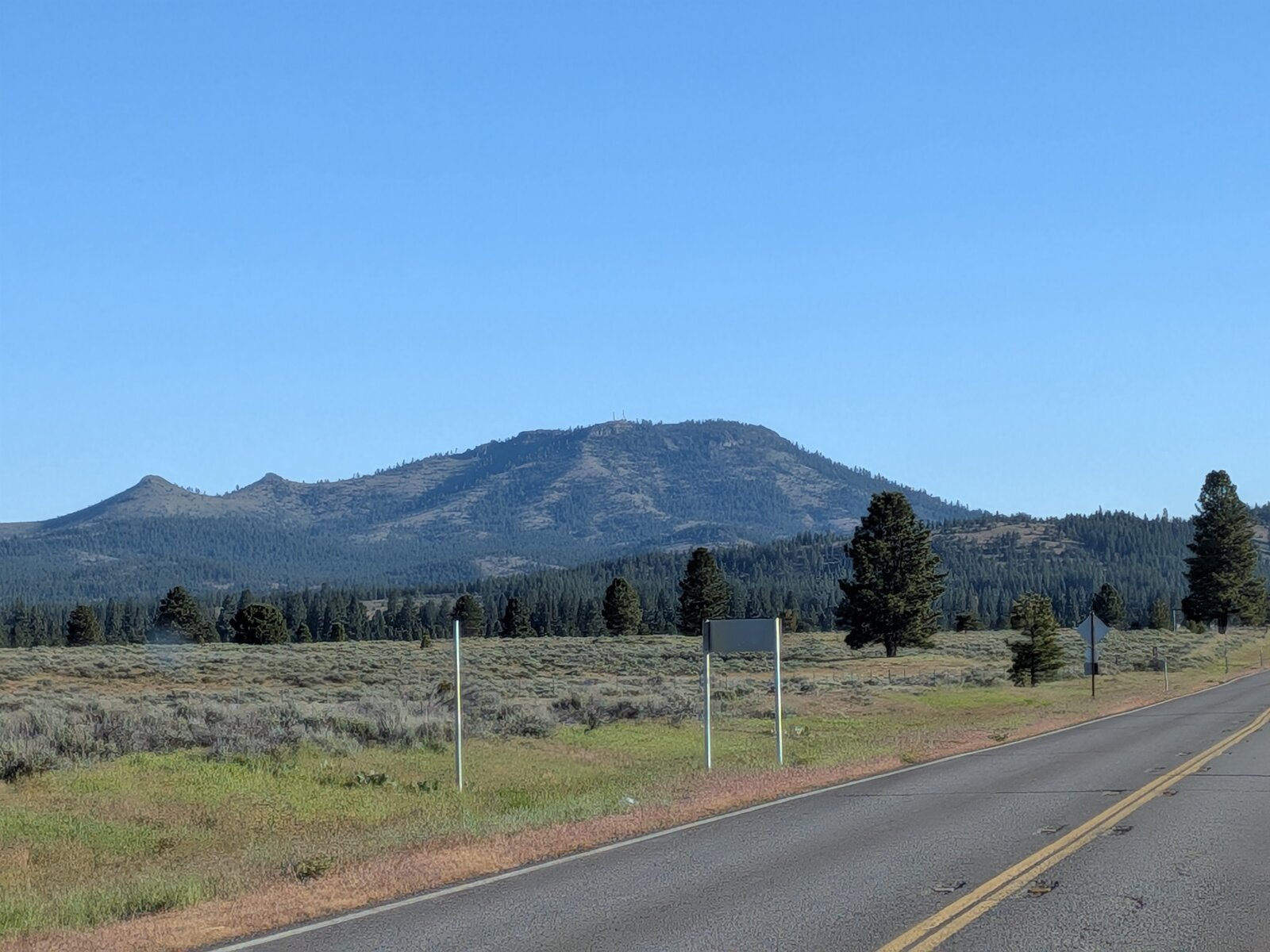
Beckwourth Peak is a 6-pointer above Sierra Valley with superb views. If the gate on the road is unlocked it is nearly a drive-up, by a rough road; if not, it is a walk from the gate. I activated it on the morning of 17 May 2026 with Randy KE6X. The gate was open, and we drove to the top. The peak is on Tahoe National Forest, on its border with Plumas National Forest.
Getting there
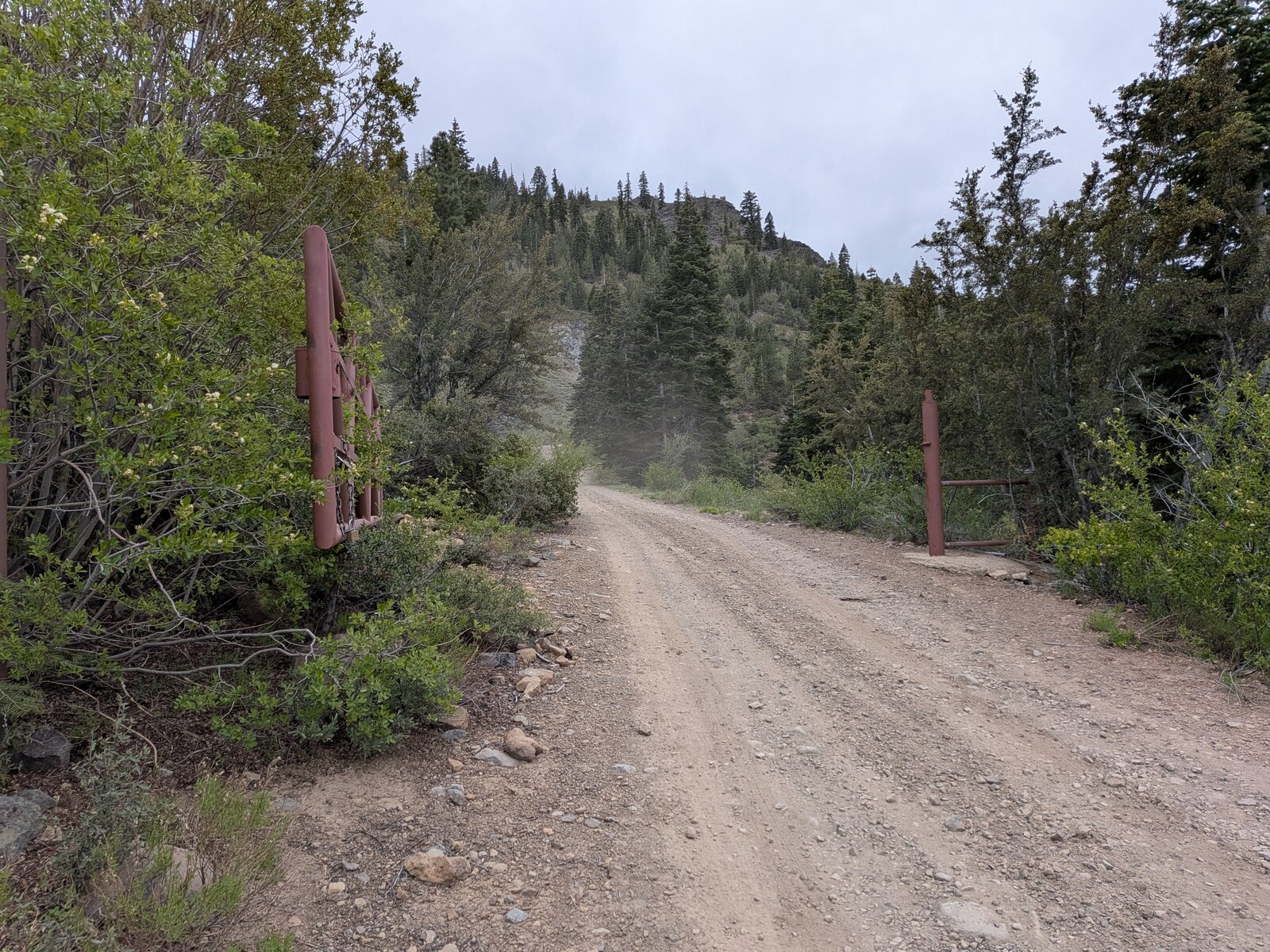
We came in from Highway 70. In Portola, turn south onto County Road A15 at 39.81055, -120.46944 and follow it through town and out as Portola McLears Road, about 1.4 miles in all, then turn left onto Beckwourth Peak Road. After about 3.6 miles there is a gate at 39.77504, -120.43888, marked on the map and in the GPX file. It was simply open on our visit; I don't know whether it is usually locked. A plate on the gate reads “FOR ACCESS 800 747 9306”. We drove on for another 1.3 miles to park at 39.77030, -120.43355, at about 7,150 ft, some 250 m south of the summit.
The road was fairly rough, and exposed at times. Passenger cars may struggle. Randy's Subaru Outback Wilderness was fine with his careful driving, but there were some white-knuckle moments (maybe just mine, as passenger).
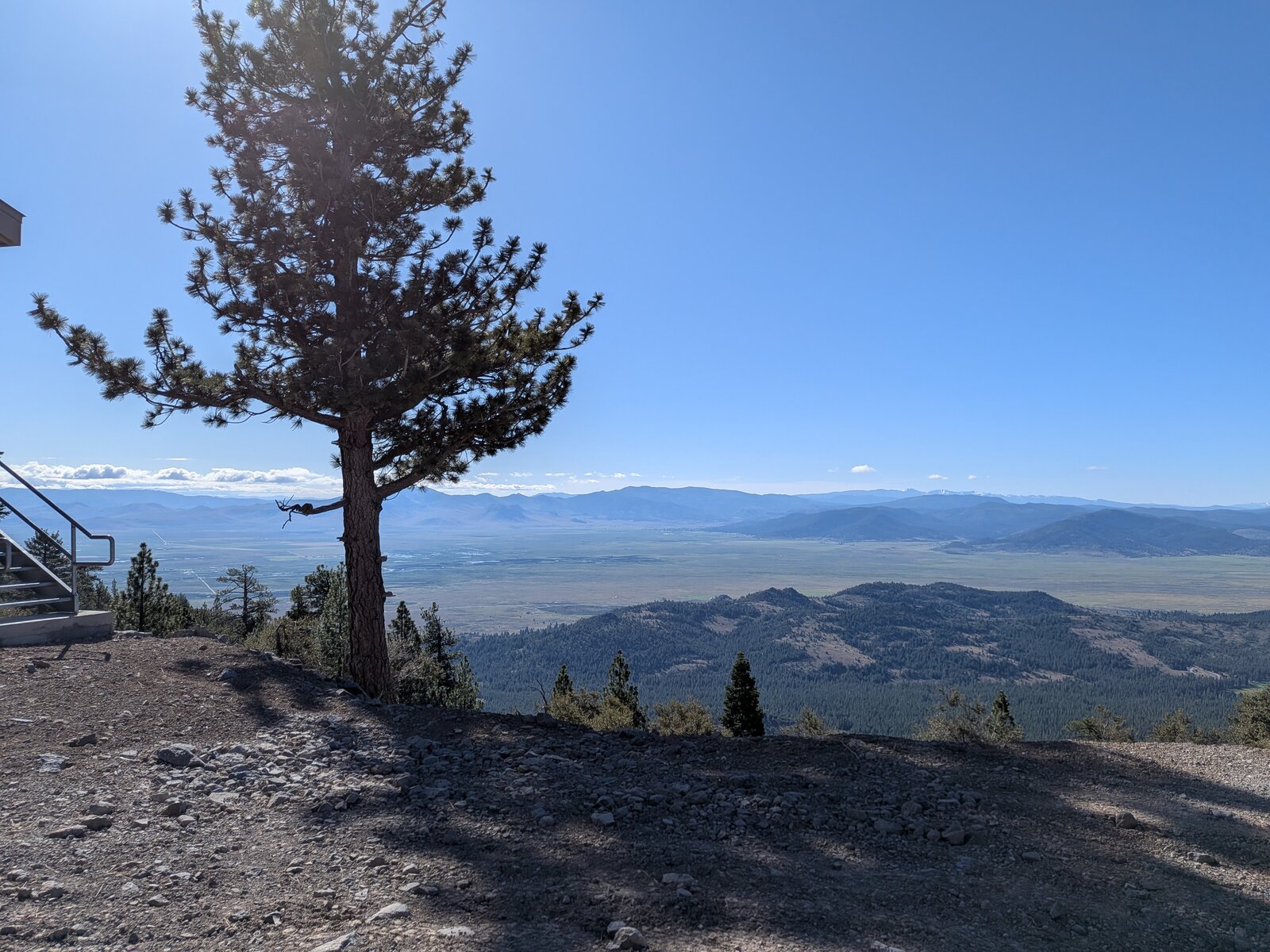
There is a radio site, with towers and metal stairs, near 39.76874, -120.43651, about 290 m south-west of where we parked. We chose not to operate there, to avoid noise from the machinery.
The walk
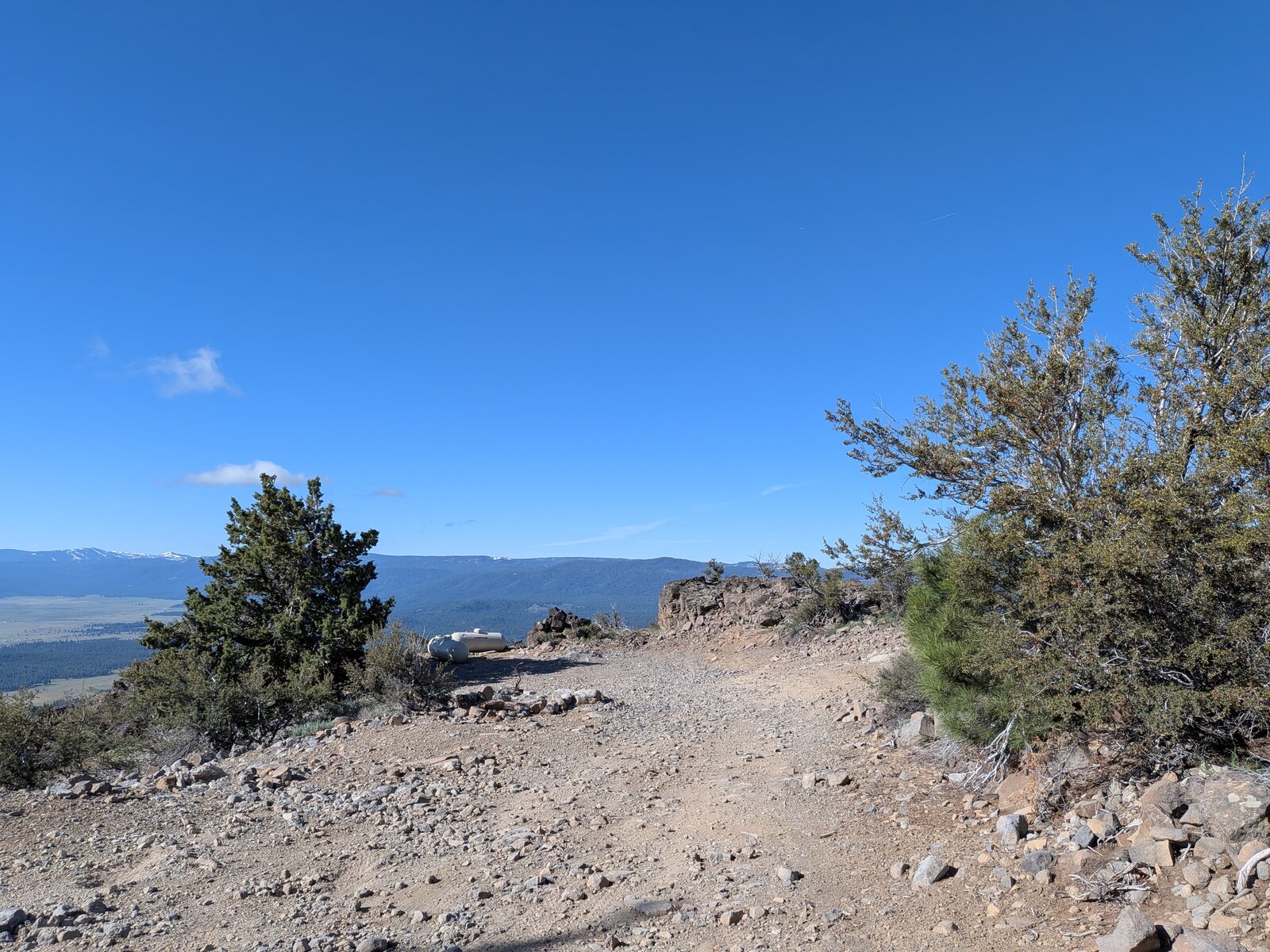
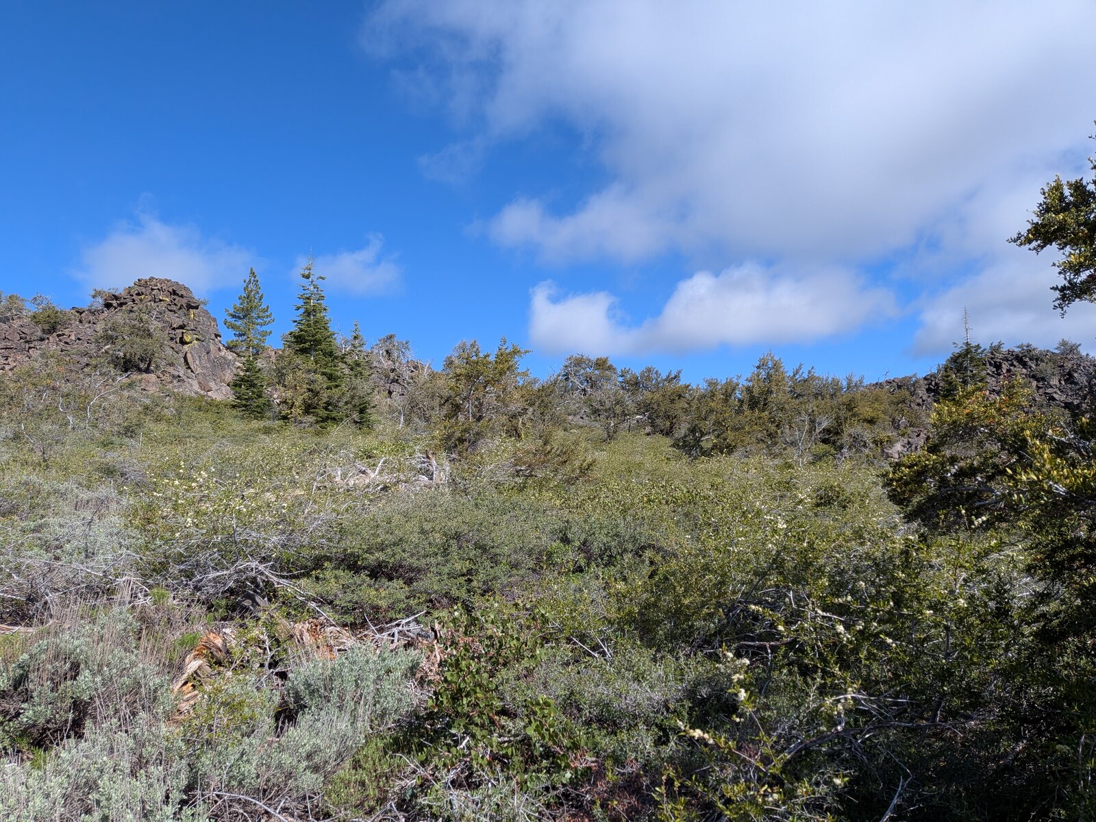
The summit is about 250 m north of where we parked, through sagebrush and rocks. We wandered around for quite a while, about 0.7 miles in all, exploring the area and trying to find ways up to the true summit. The formations were challenging at times, so we kept it safe. We activated closer to the parking spot. If the gate is locked, it is 1.3 miles of road from the gate to where we parked.
The flowers were out. I found Brown's peony (Paeonia brownii), low phacelia (Phacelia humilis), wax currant (Ribes cereum) and white fir (Abies concolor).
Around the top
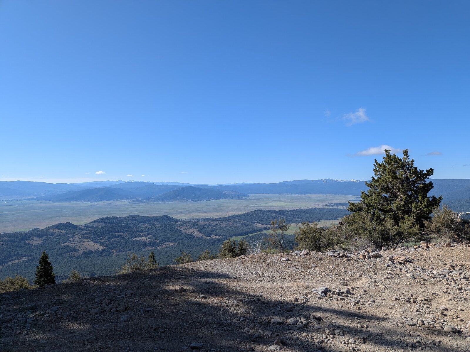
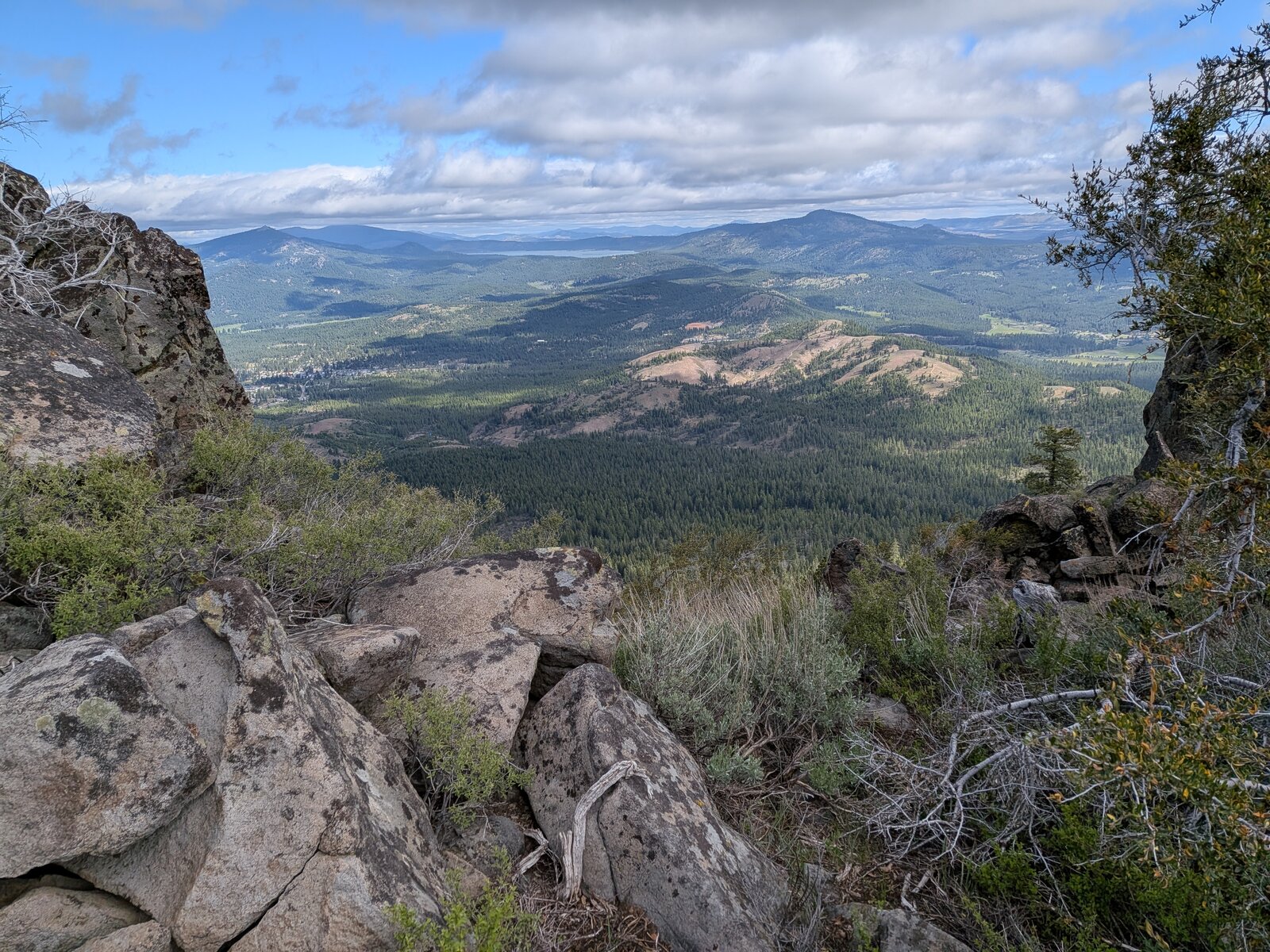
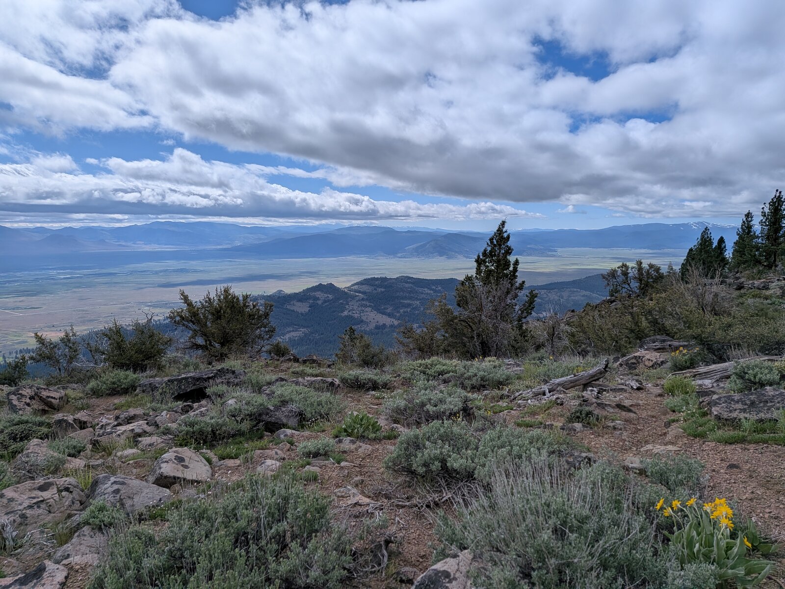
The top is a broad, brushy crown with rock outcrops, and the views are wide: Sierra Valley on one side, and on the other forested ridges and valleys, with Portola below and Lake Davis in the distance.
Radio
I made 6 contacts on SSB, 4 on 20 m and 2 on 40 m, and Randy made 6. I had no noise, and I had cell service (Google Fi, T-Mobile).
Tracks and map
GPX: W6-NS-228-Beckwourth-Peak-KC6X.gpx. My walk around the summit on 17 May 2026, with waypoints for the gate, where we parked, and the summit.
Map: W6 SOTAfest 2027 CalTopo map. Open the folder for W6/NS-228 Beckwourth Peak for the activation zone, the gate, track and photos.