
5780 is a 6-pointer on the west edge of Sierra Valley: a short walk, steep in places, from a pioneer cemetery to a cramped rock outcropping with good views over the valley. Randy KE6X and I made the first activation of it on 17 May 2026.
Getting there
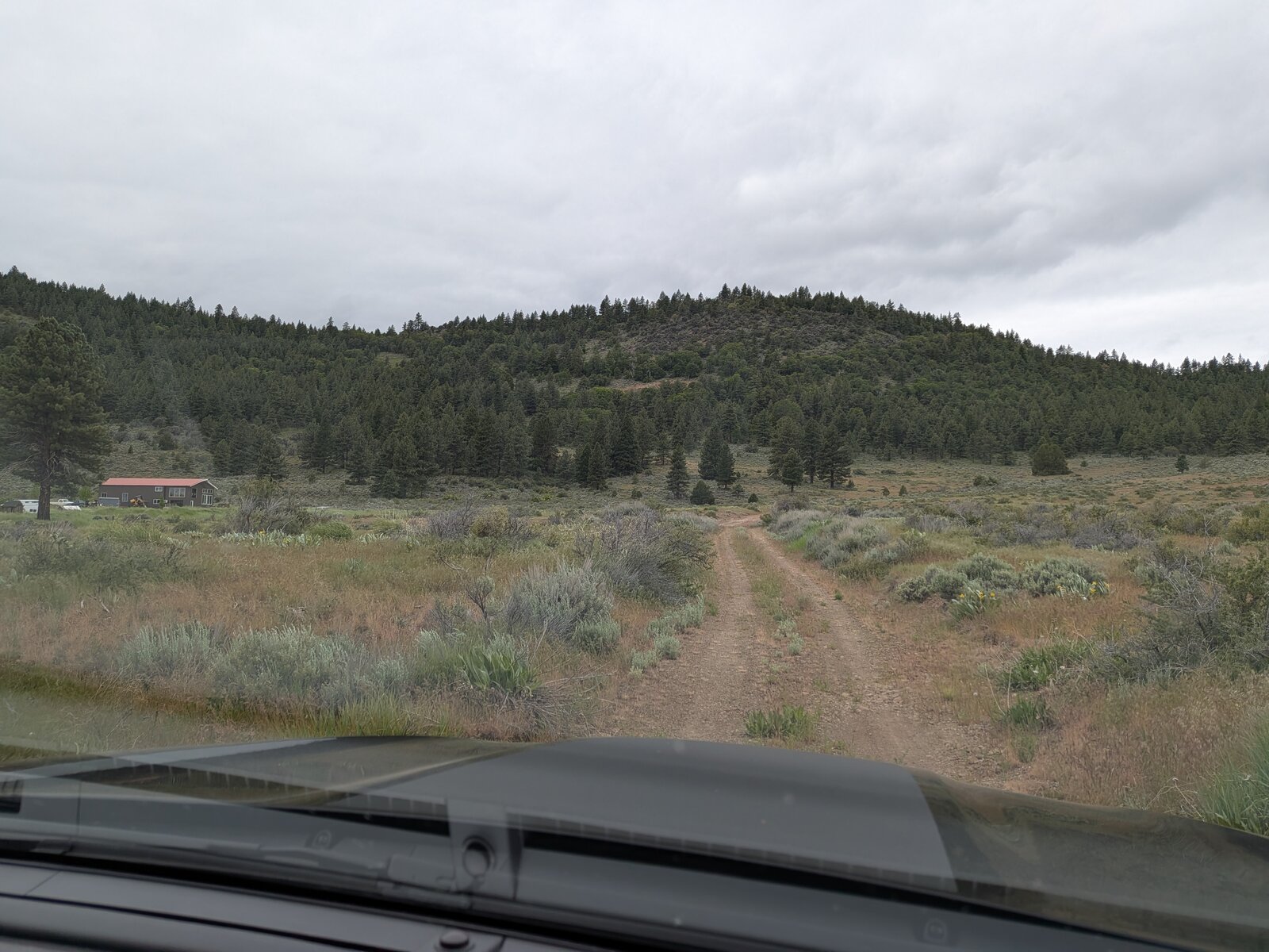
From Highway 70 at Beckwourth, take County Road A23 (Beckwourth Calpine Road) south for about 5.7 miles. At 39.73526, -120.37872 turn right onto a dirt road and follow it for about half a mile to the cemetery, where we parked at 39.73746, -120.38724, at about 5,080 ft. We were in Randy's Subaru Outback Wilderness.
The drive in was easy; any car could manage it. Avoid turning down the private driveways.
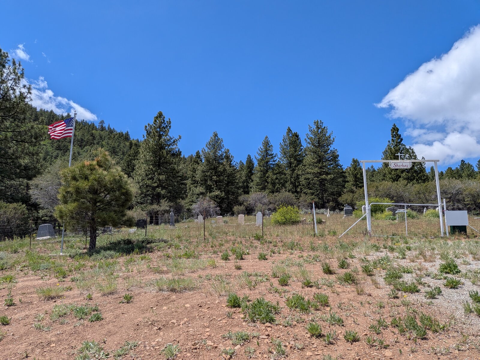
The parking is beside Sharkey's cemetery, a cemetery for pioneers of the area. Don't park in front of the gate, and of course be respectful in the area.
The hike
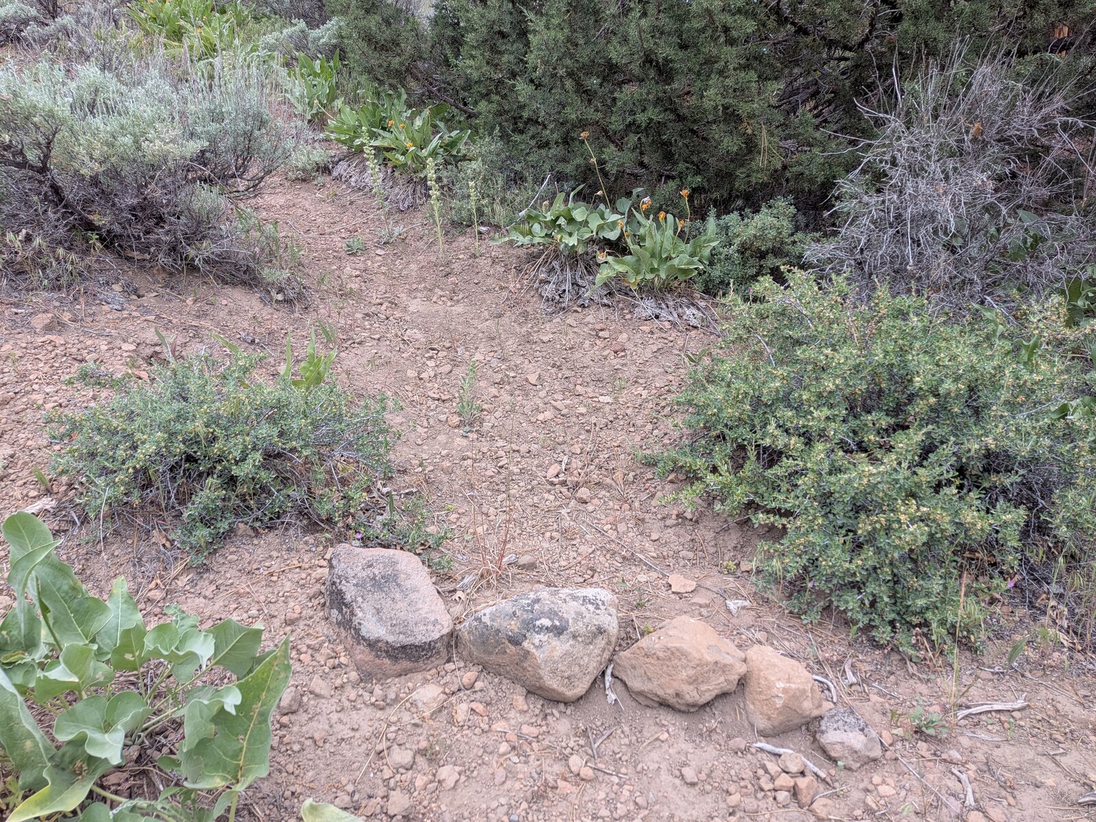
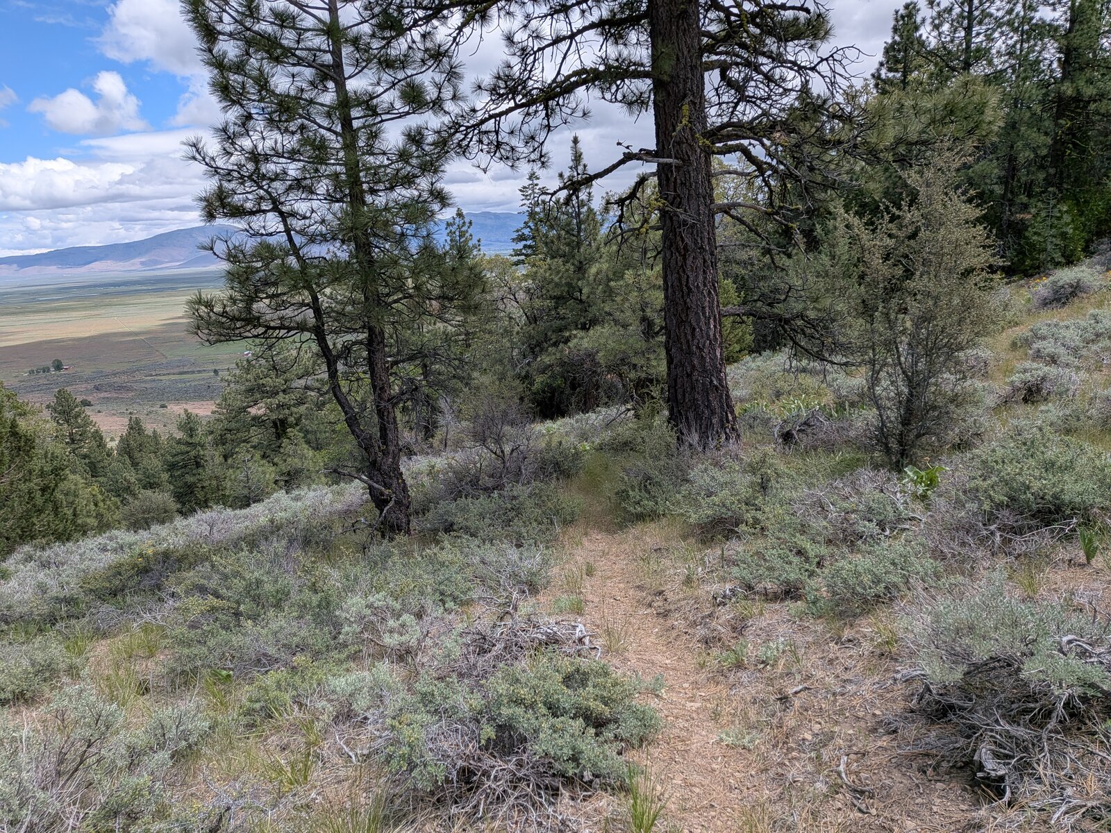
It is about 0.8 miles and 625 ft up to the north-west. It took us 36 minutes going up and 27 coming down. At times there appears to be a path or trail; at other times we lost it. We aimed to use game trails or better to move from clearing to clearing. At times it was steep or had bad footing, but up on the ridge it was easy going. On the way down we found more of the faint path, which avoids the bushwhack; our two lines are up to 85 m apart low down, and close together higher up.
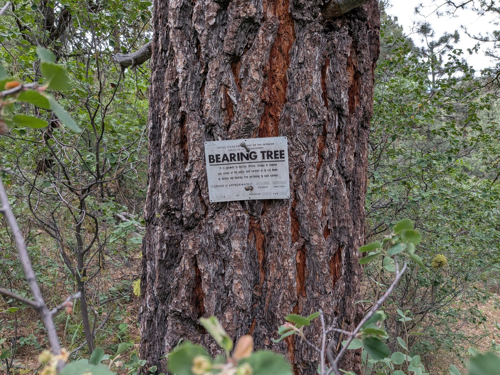
Low on the route there is a Bureau of Land Management bearing tree.
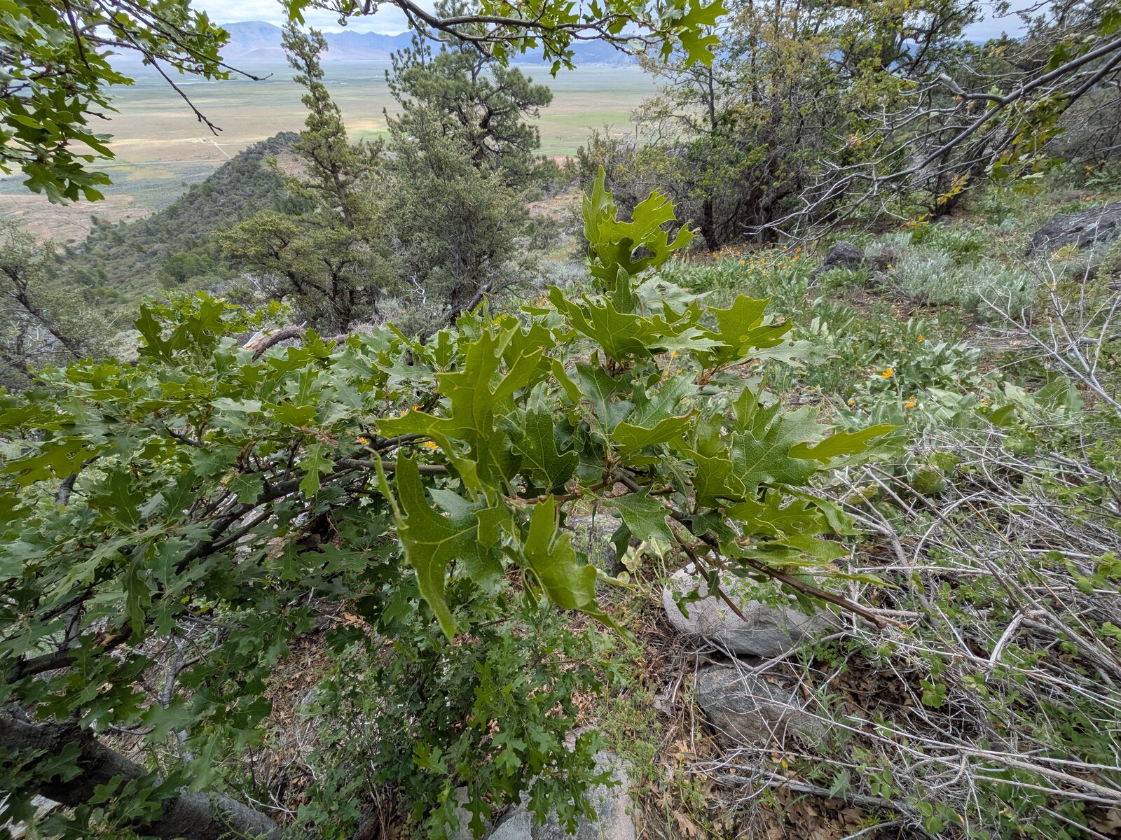
The flowers were out. I found red larkspur (Delphinium nudicaule), virgate scorpionweed (Phacelia heterophylla), hot rock penstemon (Penstemon deustus) and, near the top, California black oak (Quercus kelloggii).
On the summit
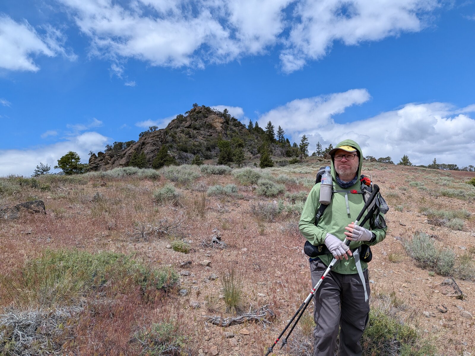
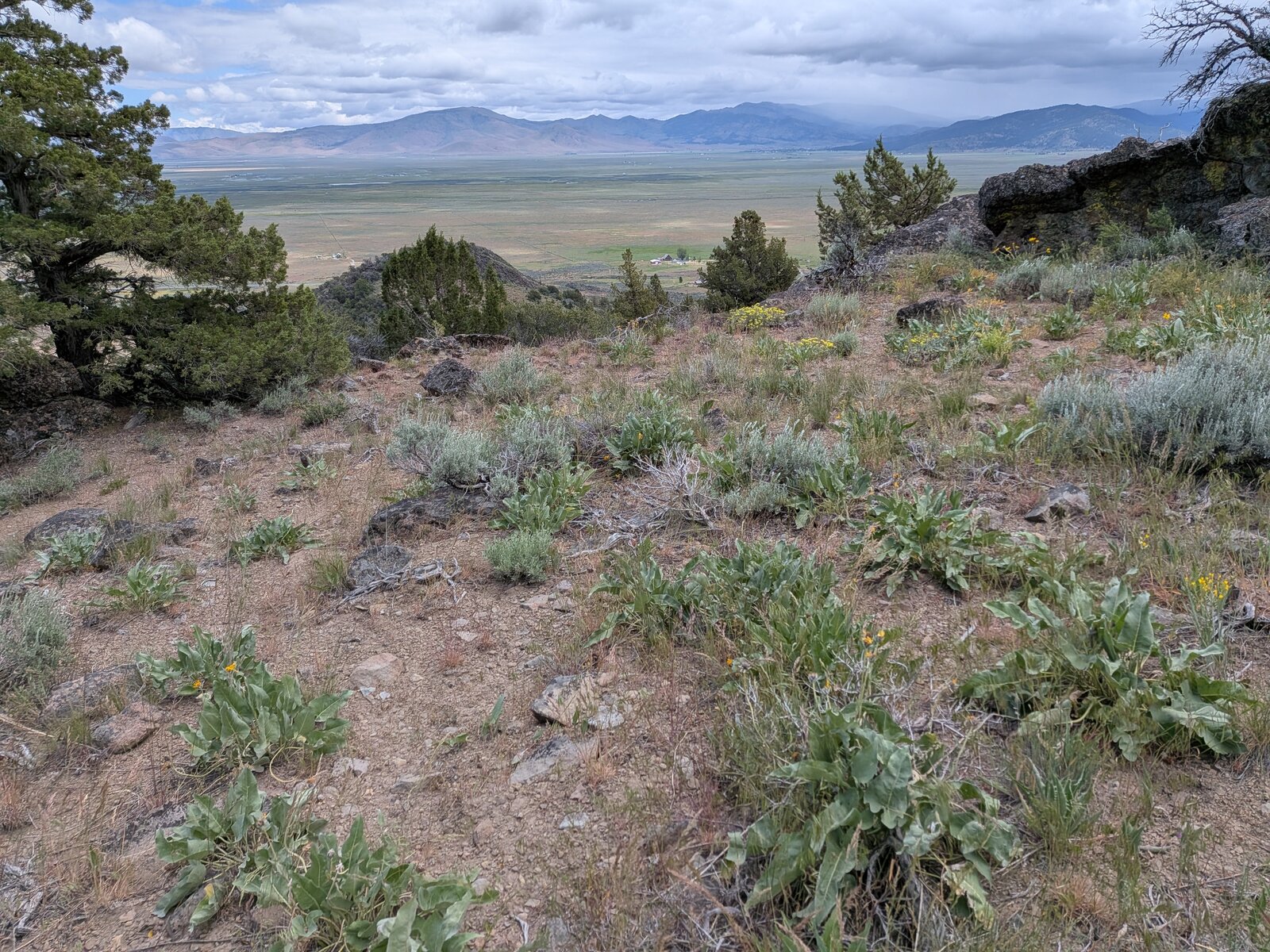
The activation zone itself is a cramped rock outcropping, and we activated on its east slope. We didn't go onto private property, nor attempt any sketchy climbs. Our operating position wasn't completely ideal, a wall of rock and a slope to stand on, but we got it done. There is a wide view east over Sierra Valley.
Radio
I made 7 contacts on SSB, 4 on 20 m and 3 on 40 m, and Randy made 5. I had no noise, and I had cell service (Google Fi, T-Mobile).
Tracks and map
GPX: W6-NS-307-5780-KC6X.gpx. My hike up and down on 17 May 2026, with waypoints for the turnoff from County Road A23, the parking spot and the summit.
Map: W6 SOTAfest 2027 CalTopo map. Open the folder for W6/NS-307 5780 for the activation zone, tracks and photos.