
McElroy Hill is a 6-pointer on the west edge of Sierra Valley: short but steep, straight up a sagebrush slope from the road to a top with superb views over the valley. I activated it on the afternoon of 17 May 2026 with Randy KE6X.
Getting there
From Highway 70 at Beckwourth, take County Road A23 (Westside Road, also called Beckwourth Calpine Road) south for about 8 miles to a pullout at 39.70885, -120.40352, at about 4,910 ft. The road is paved. We were in Randy's Subaru Outback Wilderness.
The hike
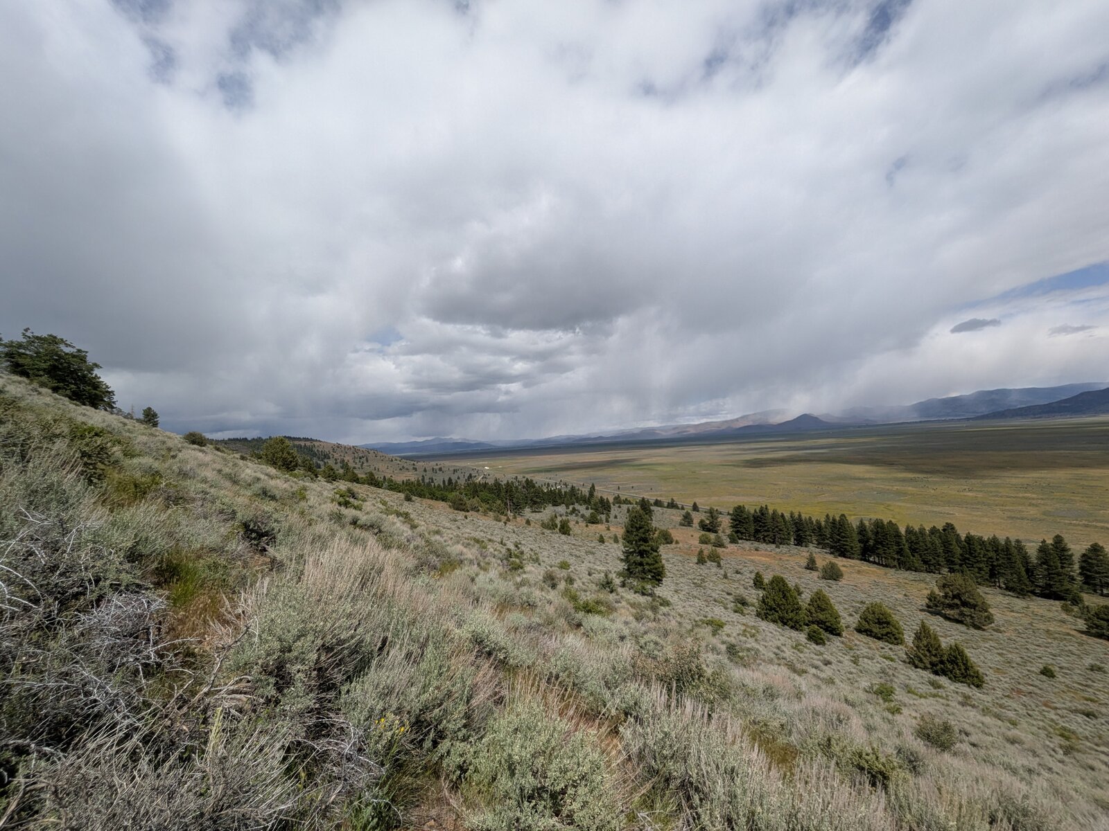
There is no trail. From the pullout the summit is less than half a mile to the north-west and about 610 ft up: short but steep! It took us 28 minutes going up and 24 coming down, by much the same line. The slope was chaparral all the way.
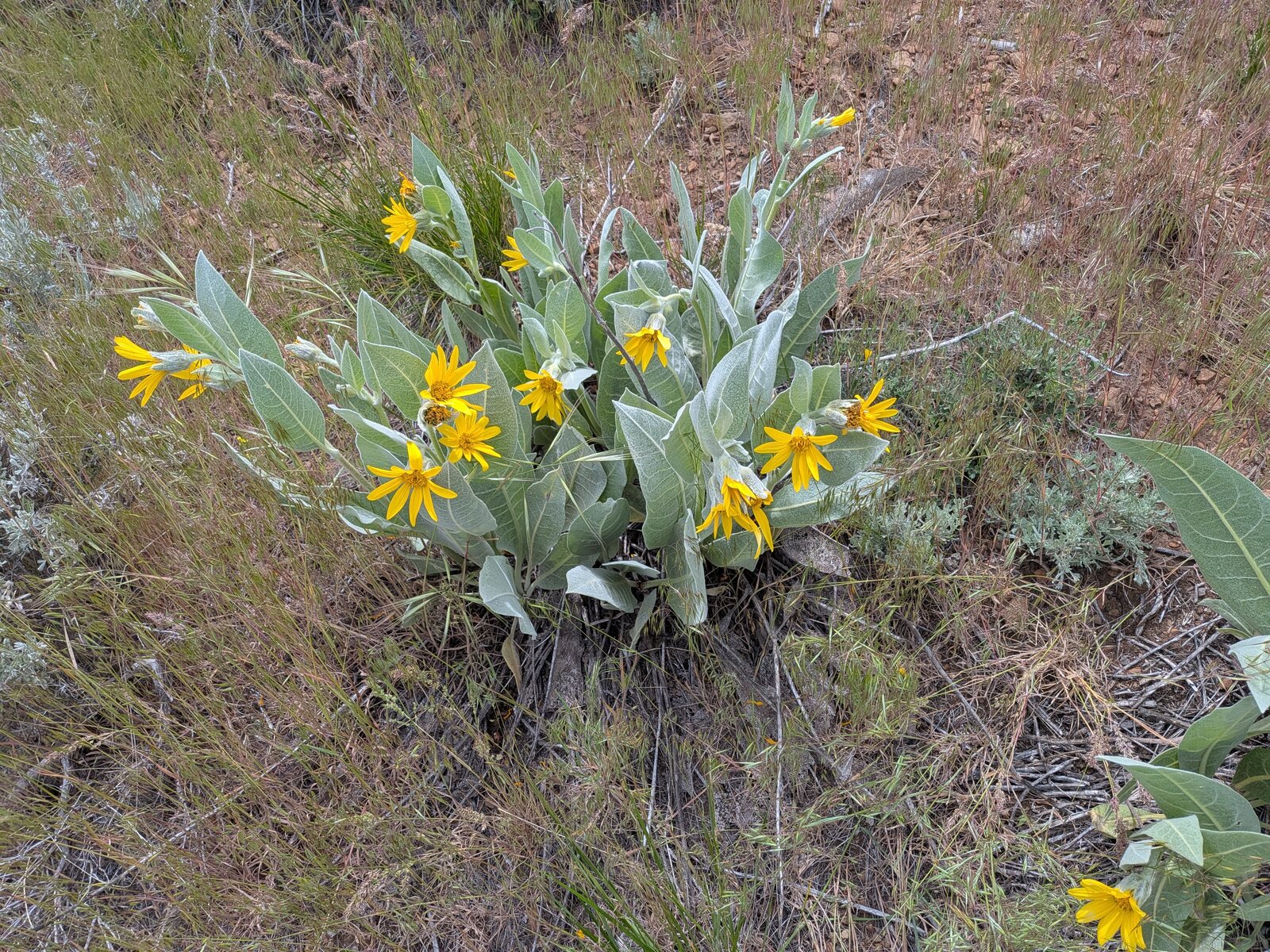
On the way down I found woolly mule's ears (Wyethia mollis) in flower and Sierra coffeeberry (Frangula rubra).
On the summit
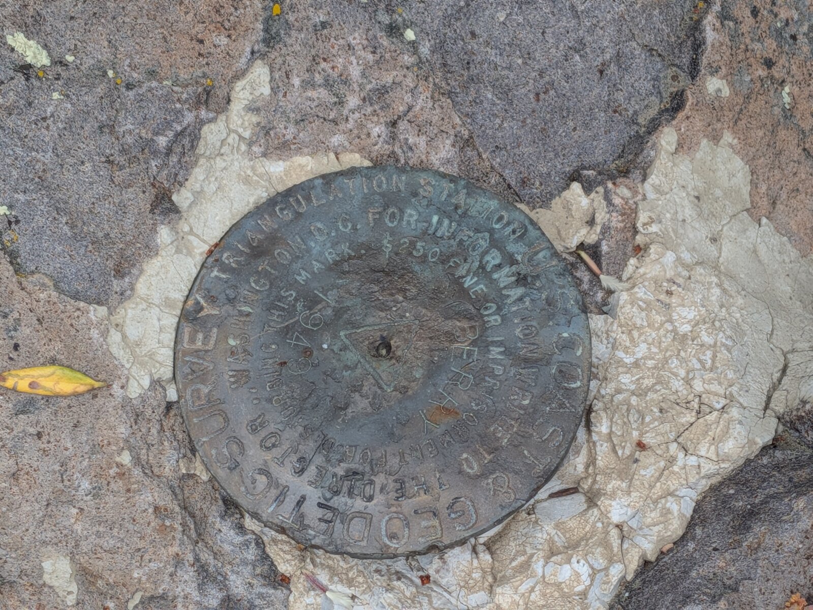
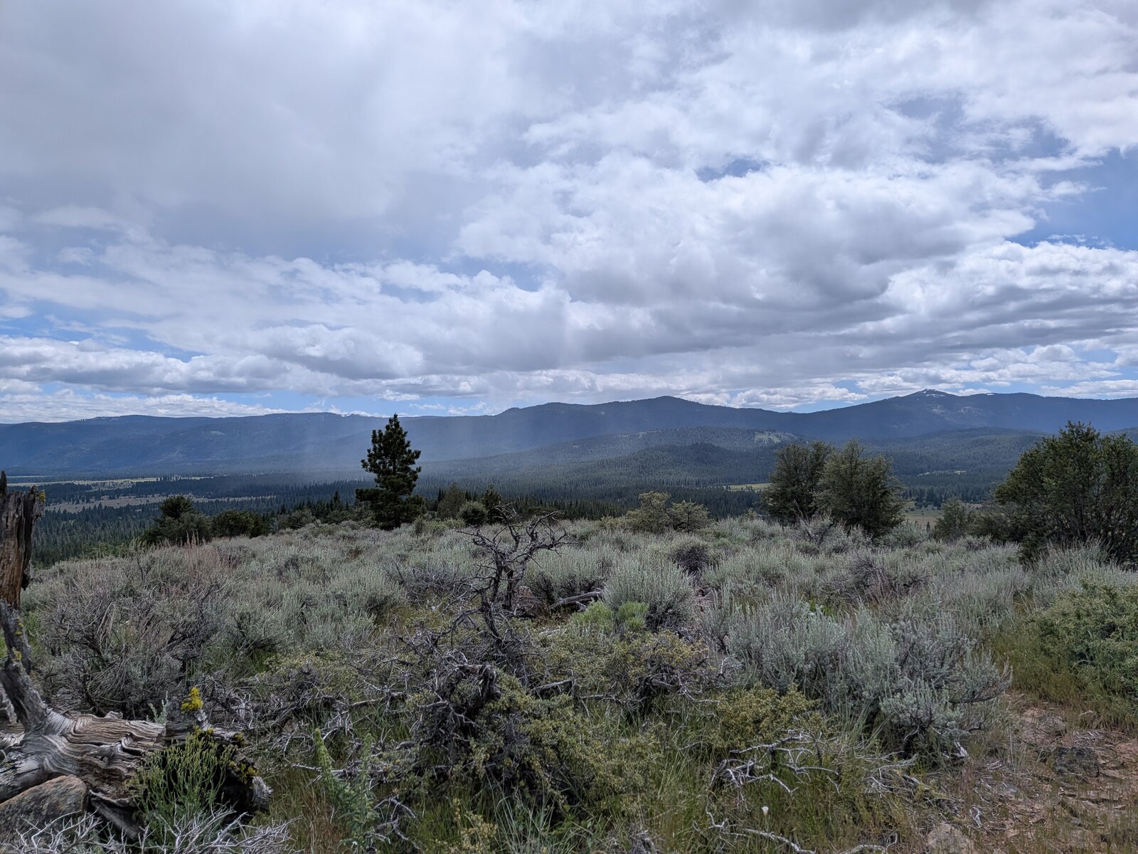
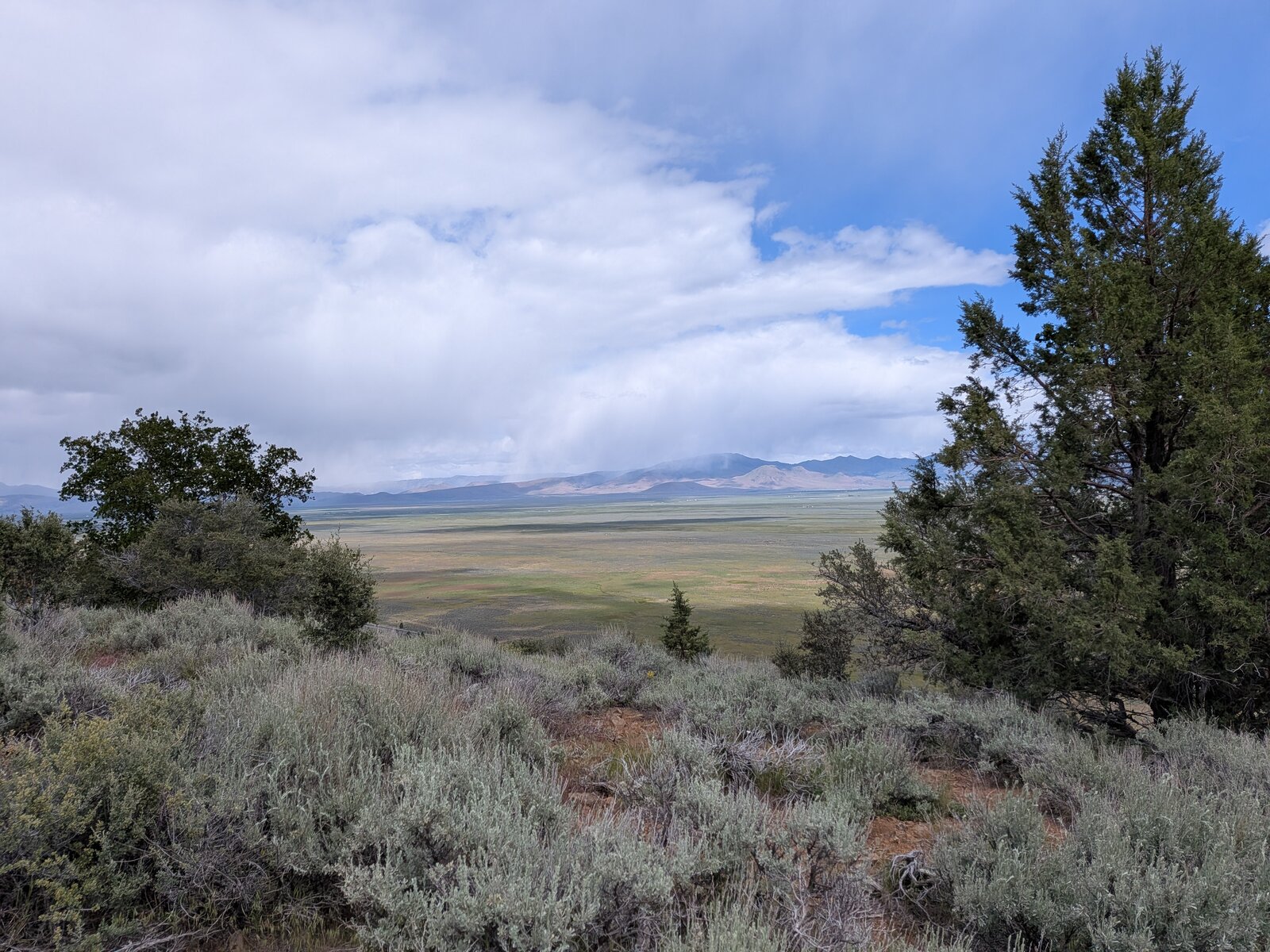
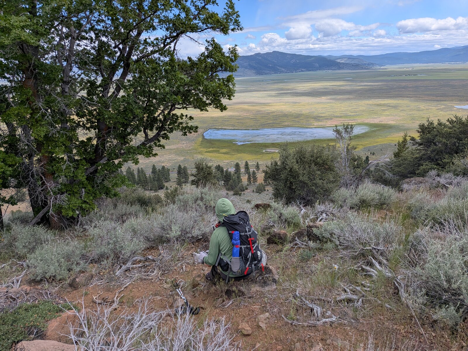
The summit is pleasantly broad: open sagebrush with a few junipers, and wide views, with Sierra Valley to the east and forested ridges to the west. There is a U.S. Coast and Geodetic Survey triangulation station disc set in the summit rock. It snowed on us!
Radio
I made 5 contacts on SSB, all on 20 m, and Randy made 6. I had no noise, and I had cell service on the summit (Google Fi, T-Mobile).
Tracks and map
GPX: W6-NS-316-McElroy-Hill-KC6X.gpx. My hike up and down on 17 May 2026, with waypoints for the pullout and the summit.
Map: W6 SOTAfest 2027 CalTopo map. Open the folder for W6/NS-316 McElroy Hill for the activation zone, tracks and photos.