
North Sierra Buttes is a 2.7-mile trail to a fire lookout bolted to the top of a rock spire, reached by a long flight of steel stairs, with views in every direction. It is popular, the activation zone is tight, and you will share it with tourists. I activated it on 13 September 2025, hiking with friends.
Getting there
From Sierra City take Highway 49 north-east for about 5 miles, turn left onto Gold Lake Highway, and after 1.3 miles turn left again toward Sardine and Packer lakes. Follow Packer Lake Road for about 2.6 miles, then continue up the road for about 2 more miles to the trailhead lot at 39.61389, -120.66606, at about 7,000 ft. It is about 11 miles from Sierra City. The drive is mostly paved, then dirt at the lot.
The hike
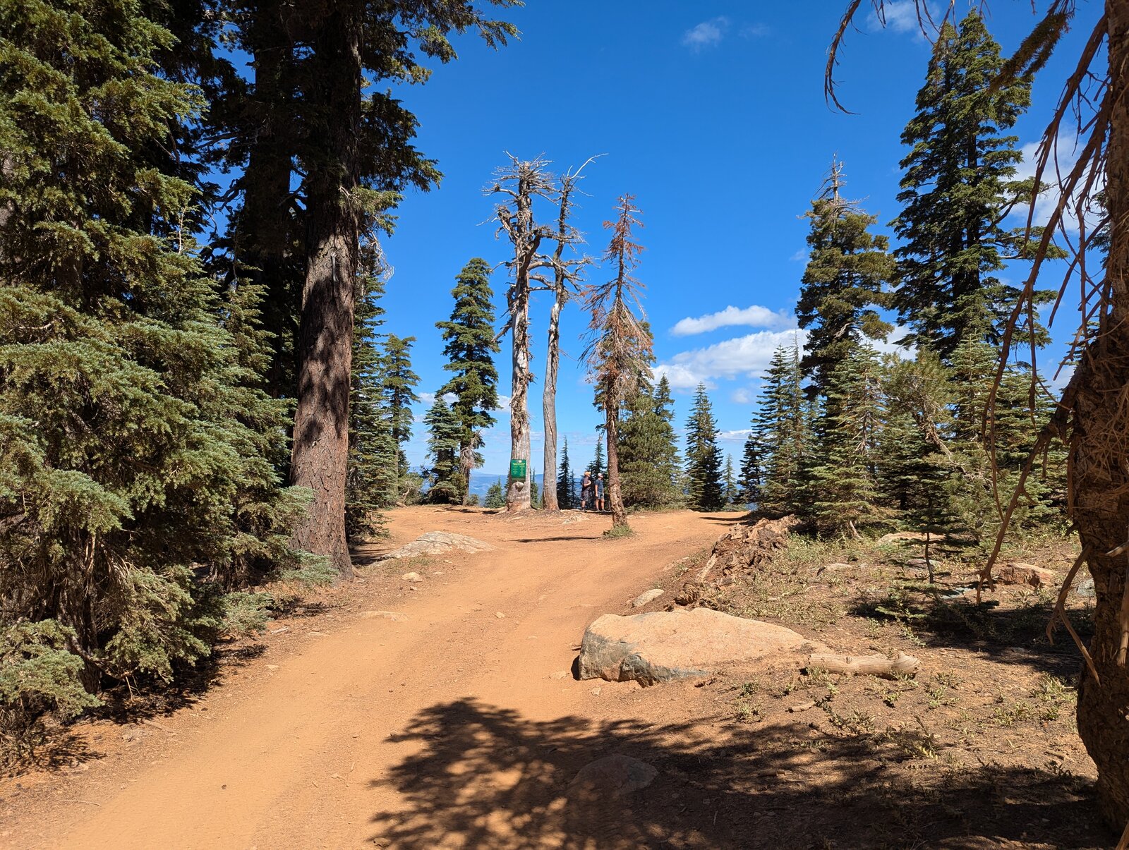
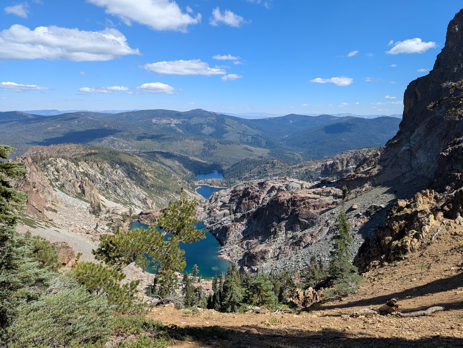
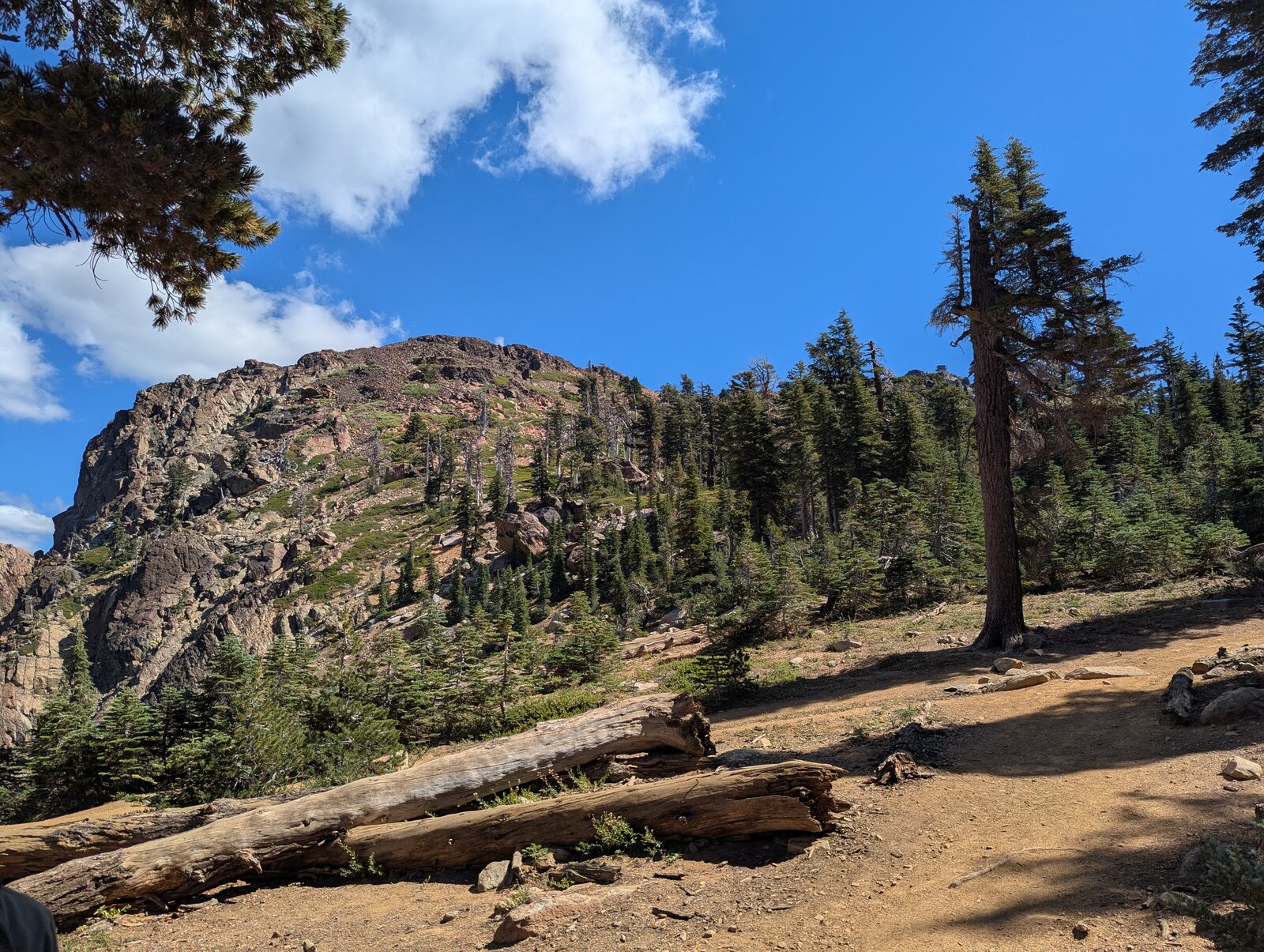
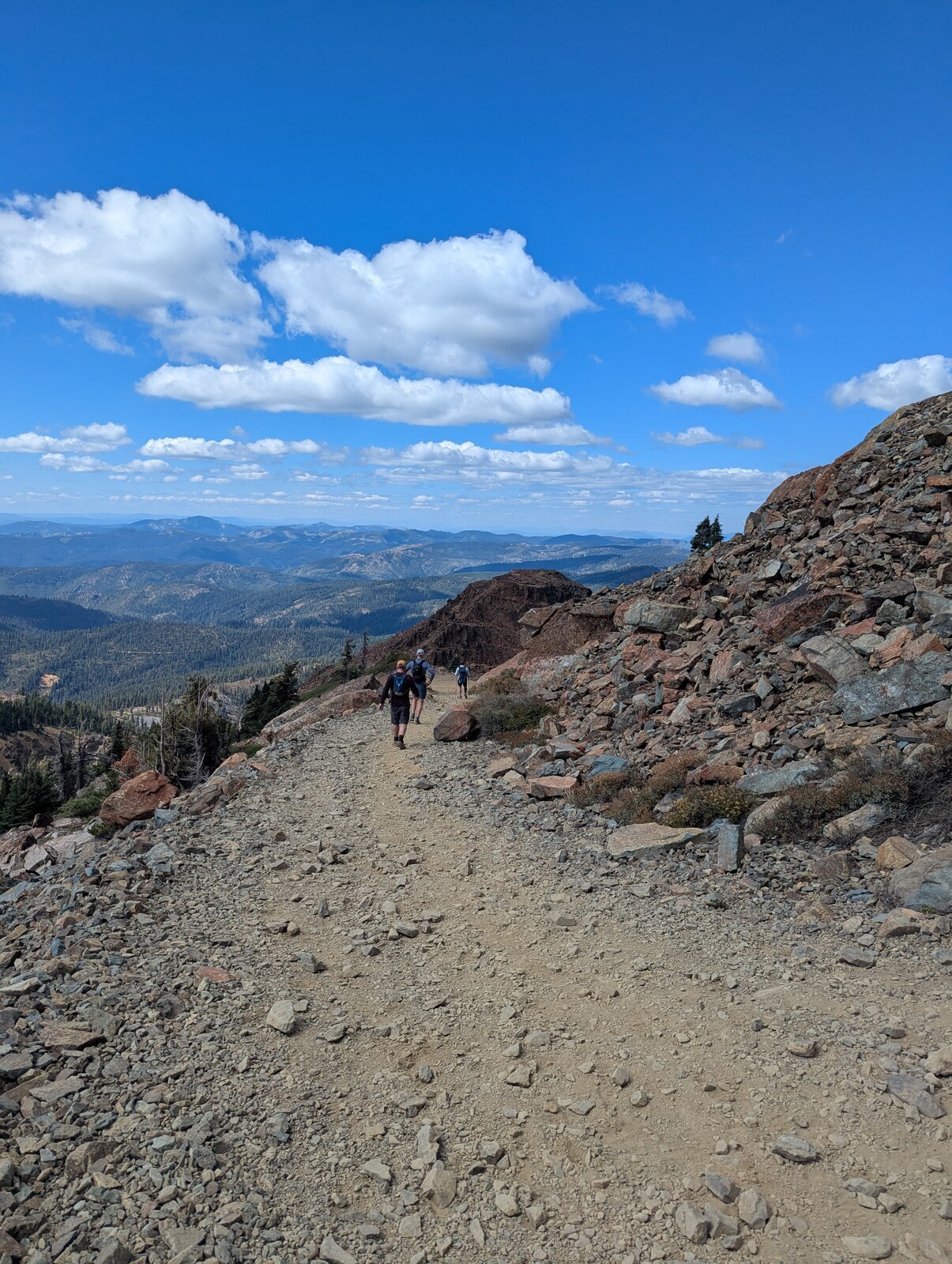
It is a trail all the way: 2.7 miles and about 1,550 ft up. It took us 1 hour 56 minutes going up and 1 hour 10 coming down. The trail climbs south along the ridge, steadily and then more steeply, with Sardine Lakes far below on the left. The upper part is wide and rocky. Exposure is minimal until you reach the steel stairs. Those are still safe, but they could trigger vertigo. We had a professional geologist on our team, who expounded on the allochthonous formations.
Along the way I found woodland pinedrops (Pterospora andromedea), granite buckwheat (Eriogonum lobbii) and, just below the summit, mountain pride (Penstemon newberryi).
On the summit
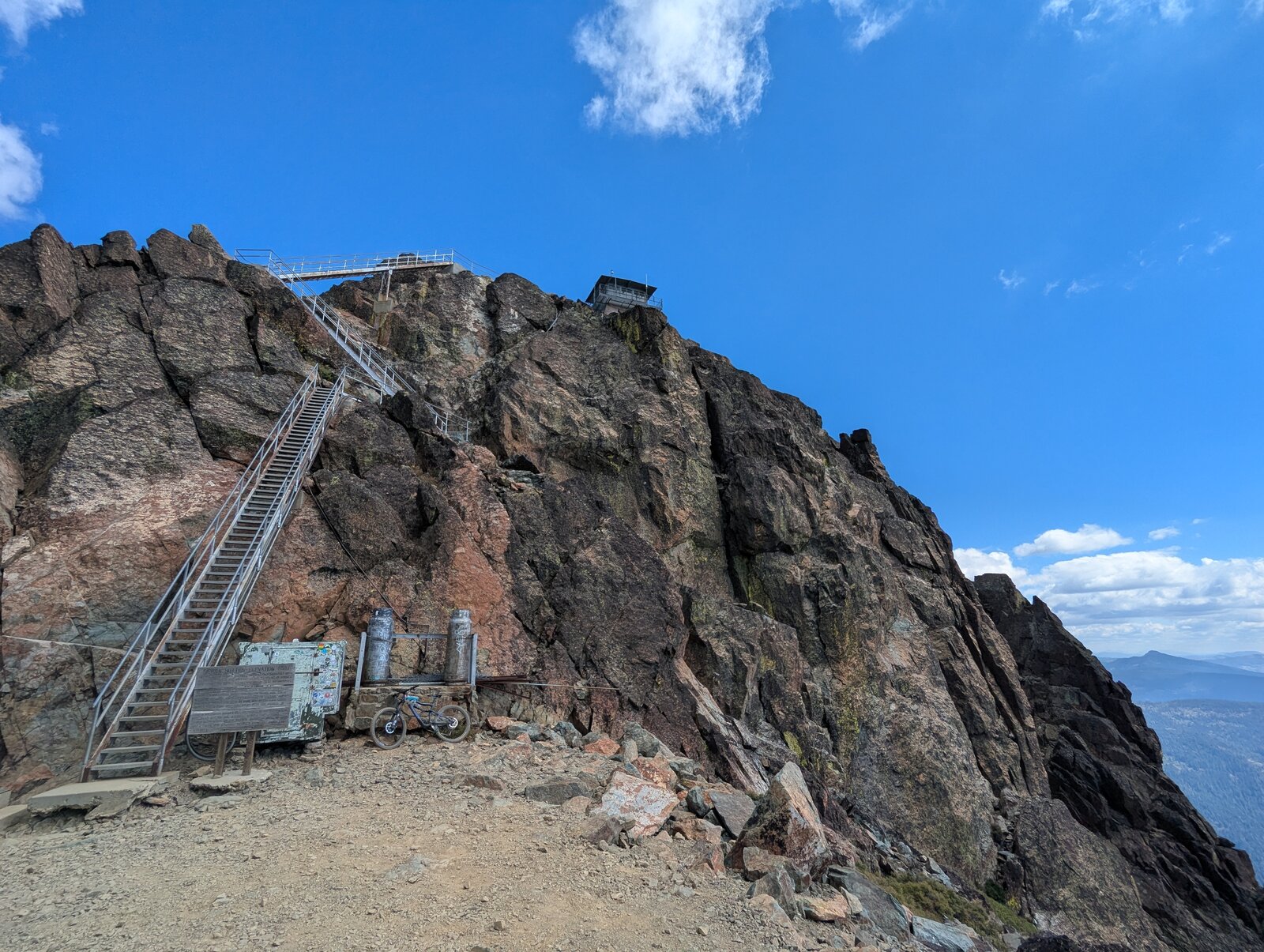
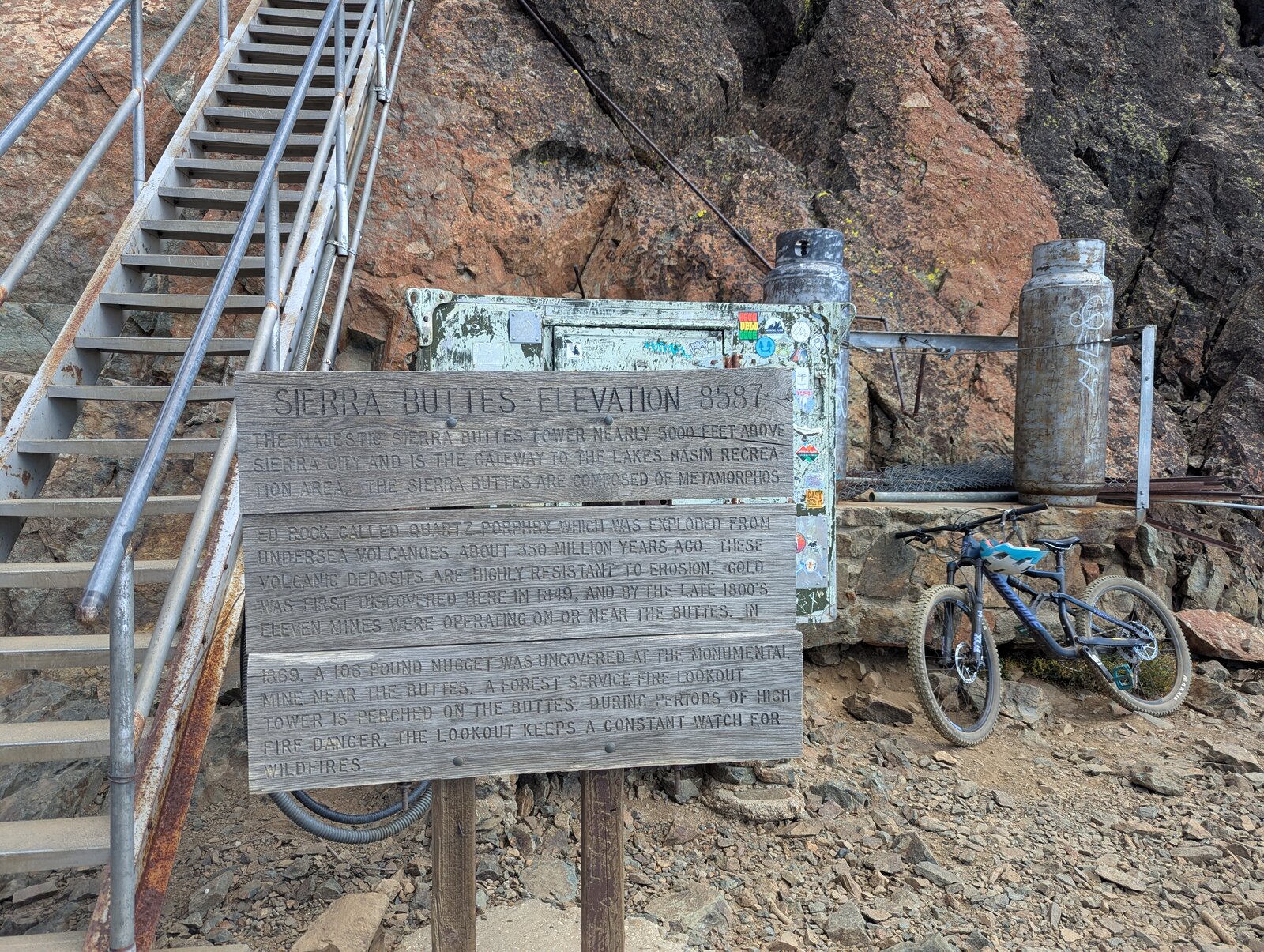
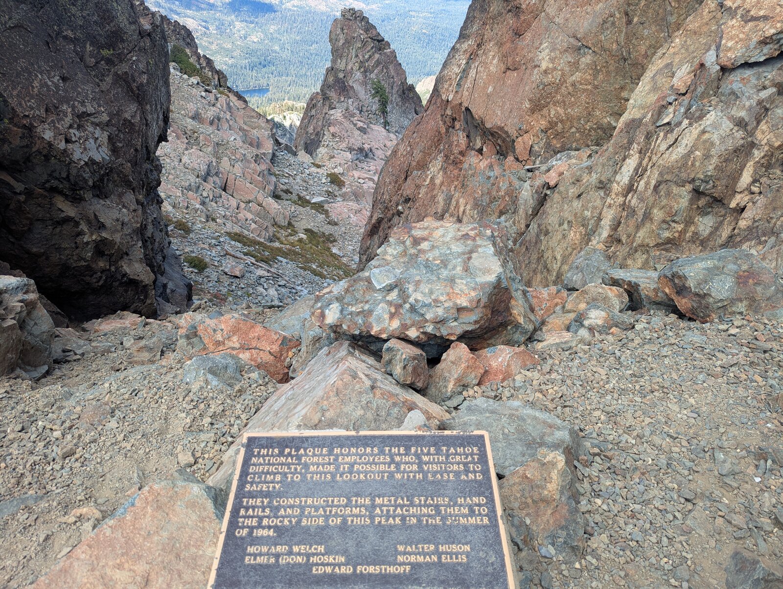
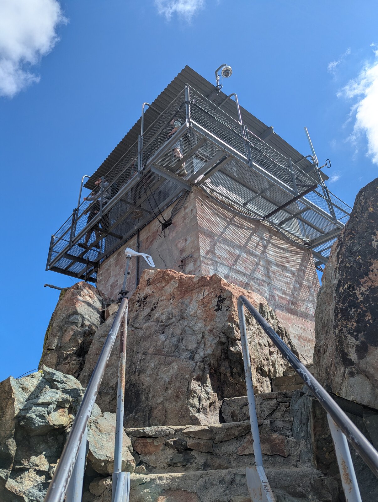
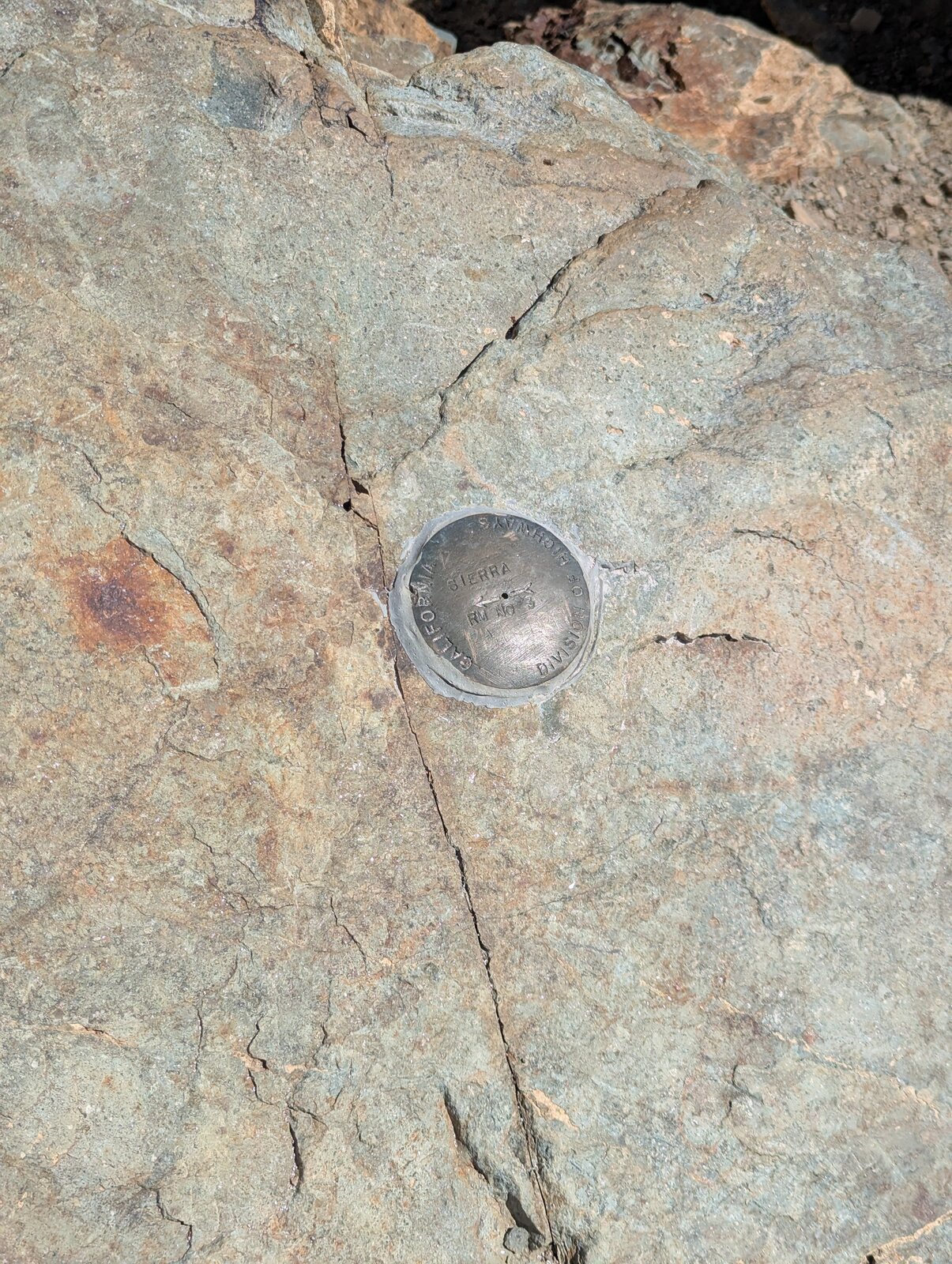
The trail ends at the foot of the stairs, where a Forest Service sign tells the story of the buttes and a plaque honors the five Tahoe National Forest employees who built the stairs and platforms in 1964. The stairs climb the rock to the lookout. There is a benchmark on the summit rock.
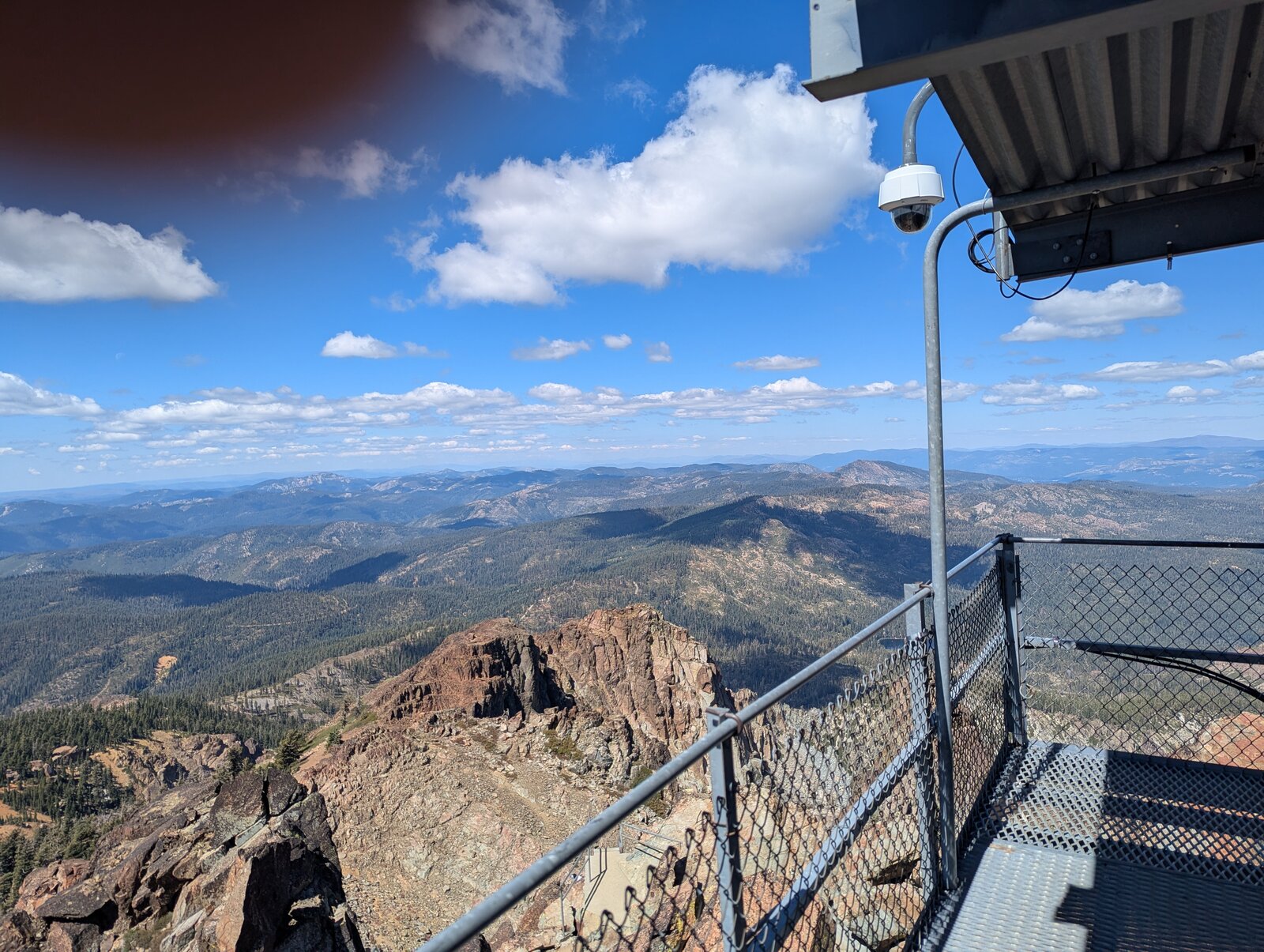
On the platform it is really tight, with sheer drops on all sides. A brave friend offered to drag my end-fed half-wave out beyond the guardrail, where other brave folks were climbing.
Radio
I made 7 contacts on SSB, 4 on 20 m and 3 on 40 m. I had some noise here, likely from the metal structure and some monitoring equipment. I had cell service on the summit (Google Fi, T-Mobile).
Tracks and map
GPX: W6-NS-139-North-Sierra-Buttes-KC6X.gpx. It holds my hike up and down on 13 September 2025, with waypoints for the trailhead and the summit.
Map: W6 SOTAfest 2027 CalTopo map. Open the folder for W6/NS-139 North Sierra Buttes for the activation zone, tracks and photos.