
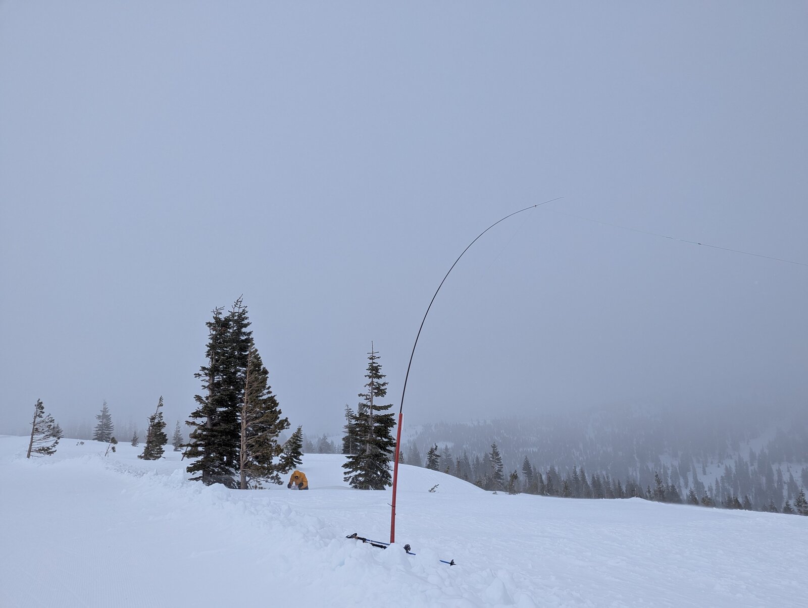
Donner Ridge is an 8-pointer above Truckee with a paved drive to the trailhead and a 1.25-mile trail to an open summit. I have activated it four times: 30 December 2023 with Brian AB6D; the evening of 31 December 2023 with Brian and Rex KE6MT (after 00:00 UTC, so it counted for 2024); 1 January 2025 with Brian, in a blizzard; and 26 June 2026, when the flowers were out.
Getting there
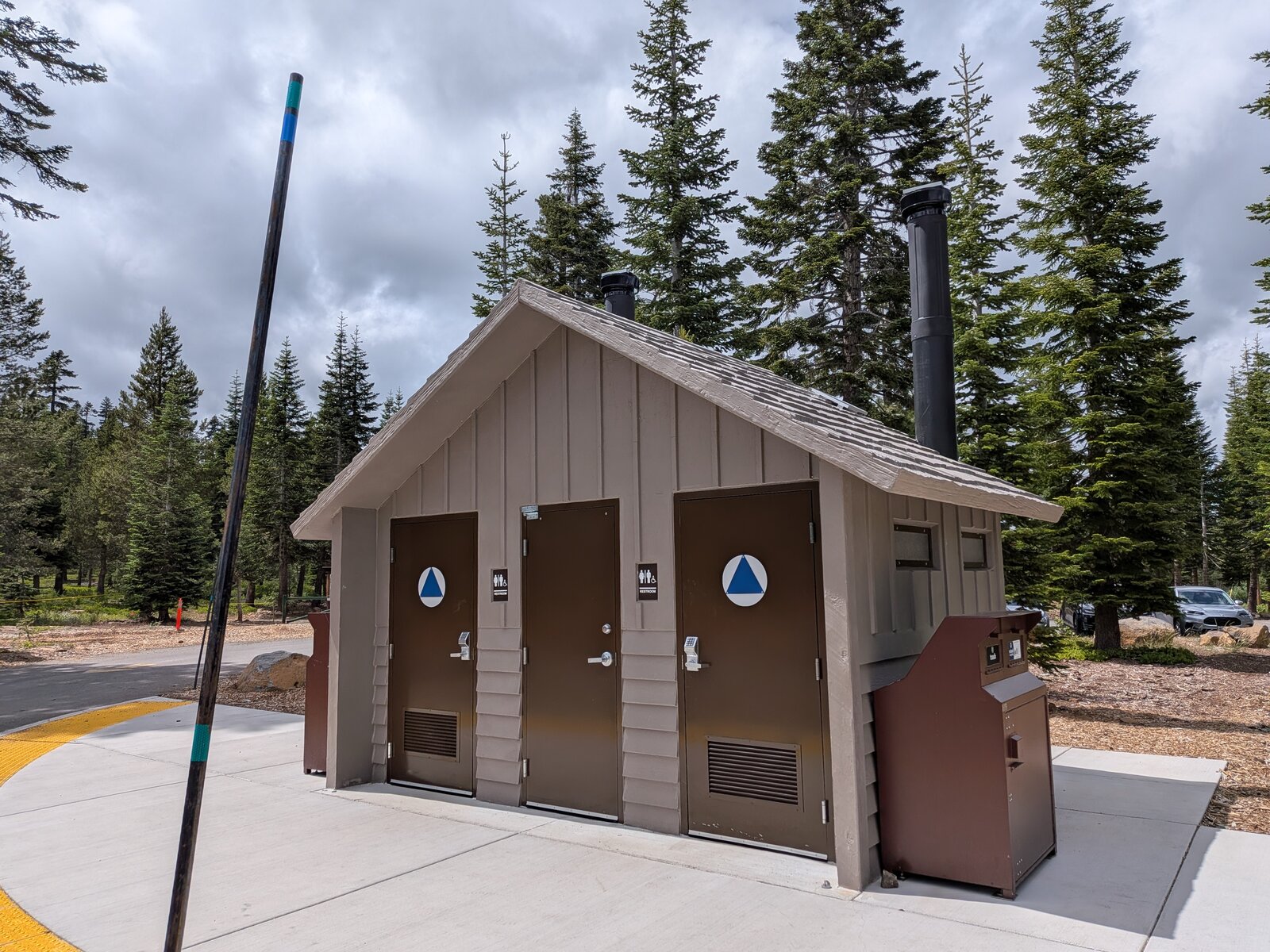
From Donner Pass Road in Truckee, take Northwoods Boulevard up into Tahoe Donner for about 4 miles, then Slalom Way, Snowpeak Way and Ski Slope Way to Glacier Way. The trailhead lot is at 39.34308, -120.26850, at about 7,375 ft. It is paved all the way, about 8 miles and 20 minutes from the Highway 89 exit on I-80. The trailhead was recently renovated and now has a vault toilet; before that it was primitive parking. In winter the road is plowed to the parking lot, but it is steep in parts and can have icy, slippery stretches: drive an all-wheel-drive vehicle.
The hike
It is a trail all the way: 1.25 miles and about 460 ft up. In June 2026 it took me 24 minutes going up and 26 coming down. In snow it is slower: 33 minutes up on New Year's Day 2025 and 38 minutes on 30 December 2023. I wore microspikes in winter.
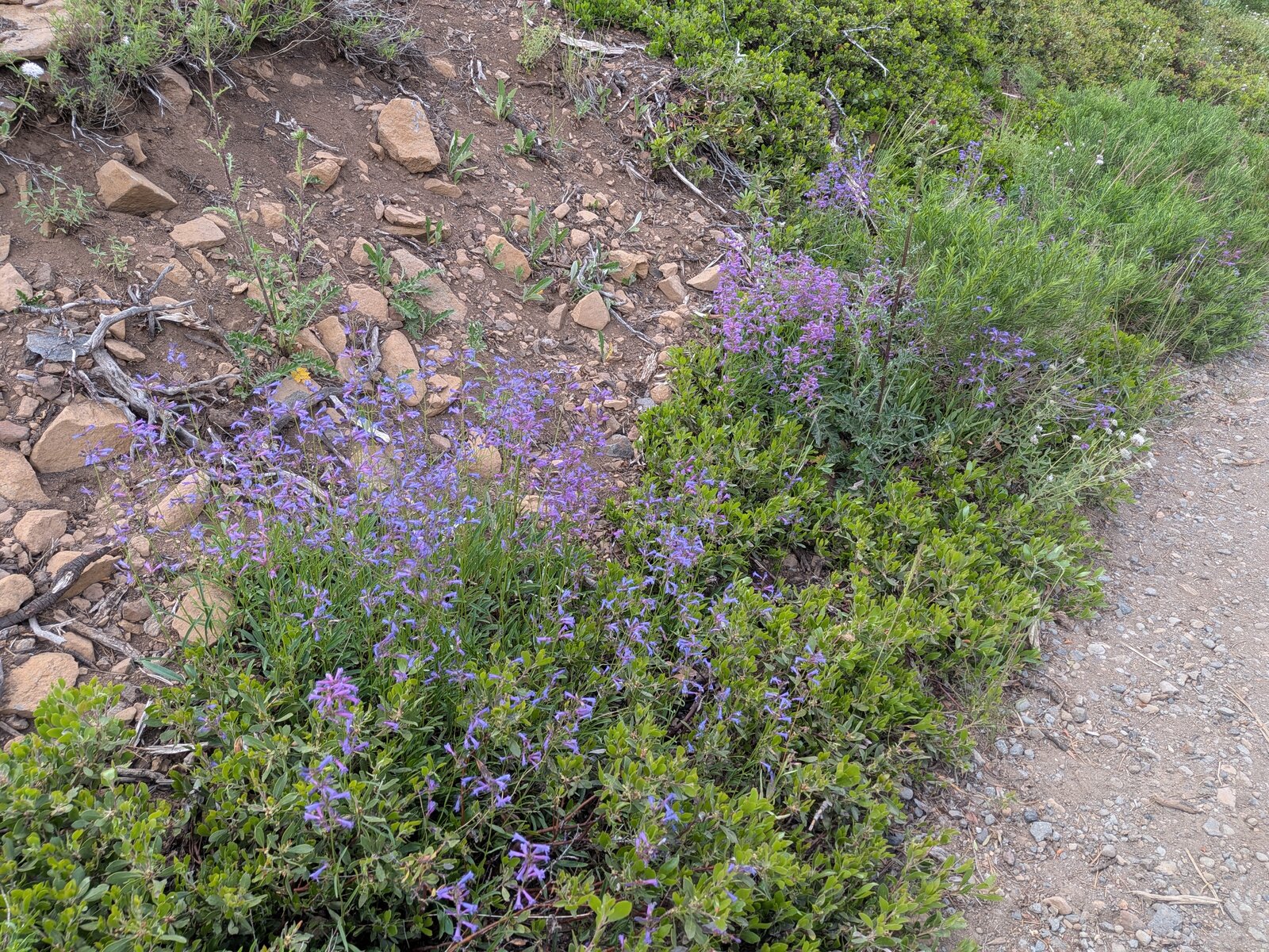
In late June the trail was lined with flowers, among them Anderson's thistle (Cirsium andersonii) and velvety stickseed (Hackelia velutina), with California tortoiseshell caterpillars on the shrubs near the top.
On the summit
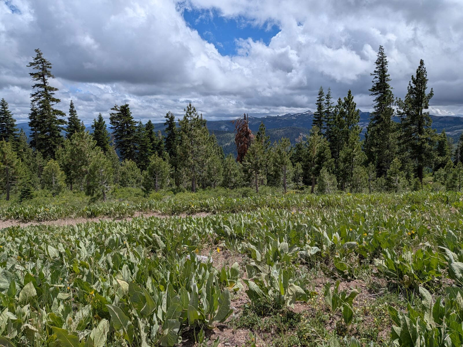
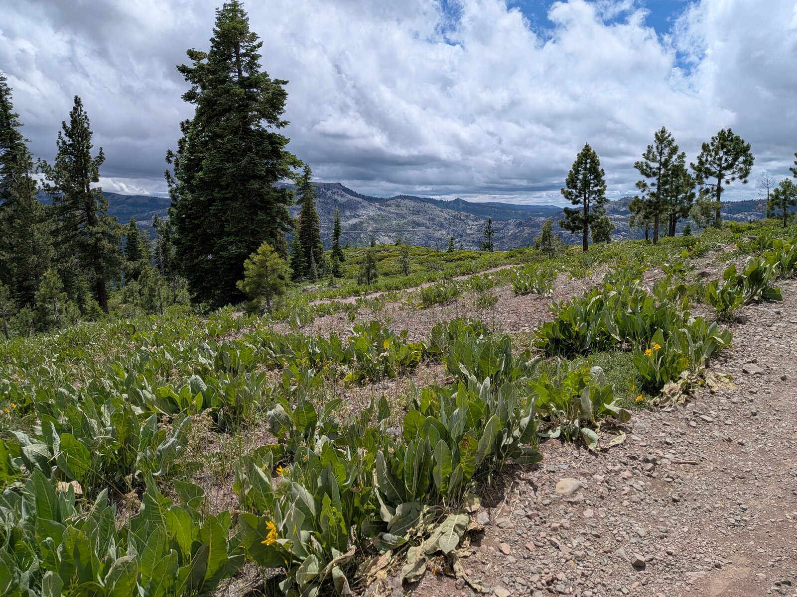
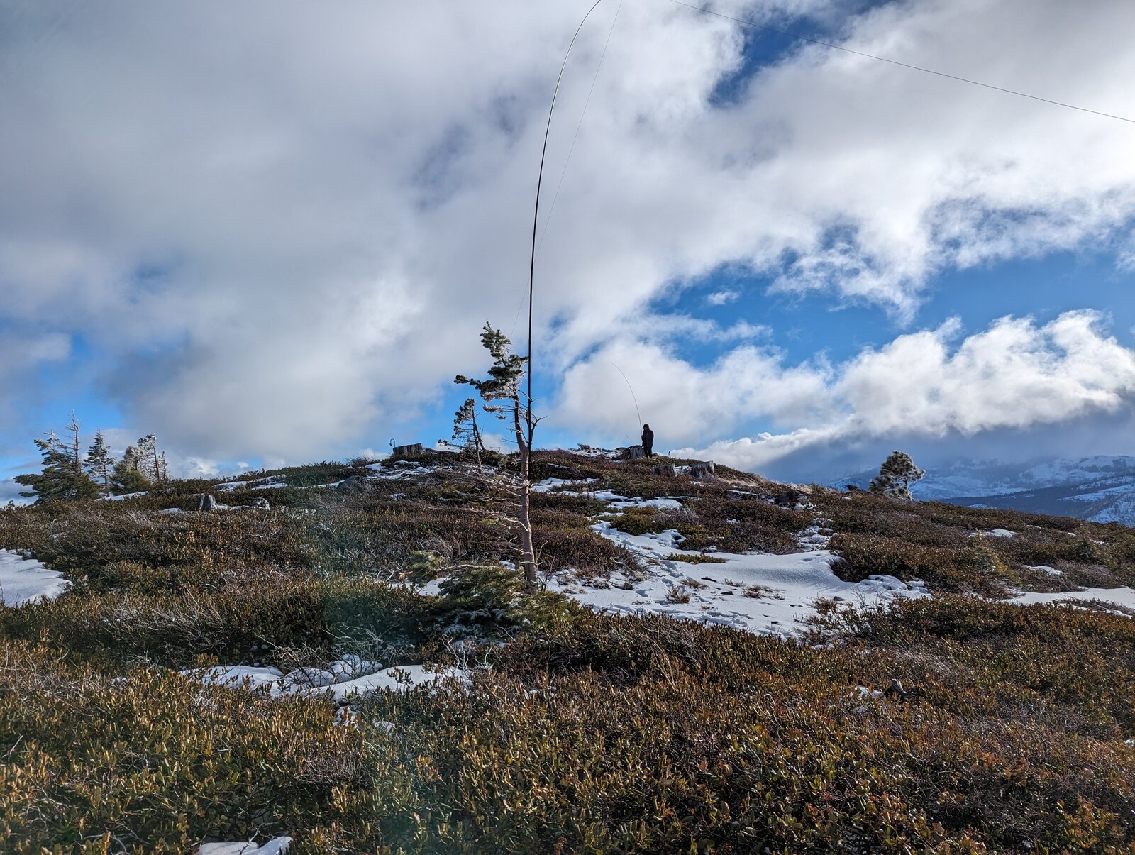
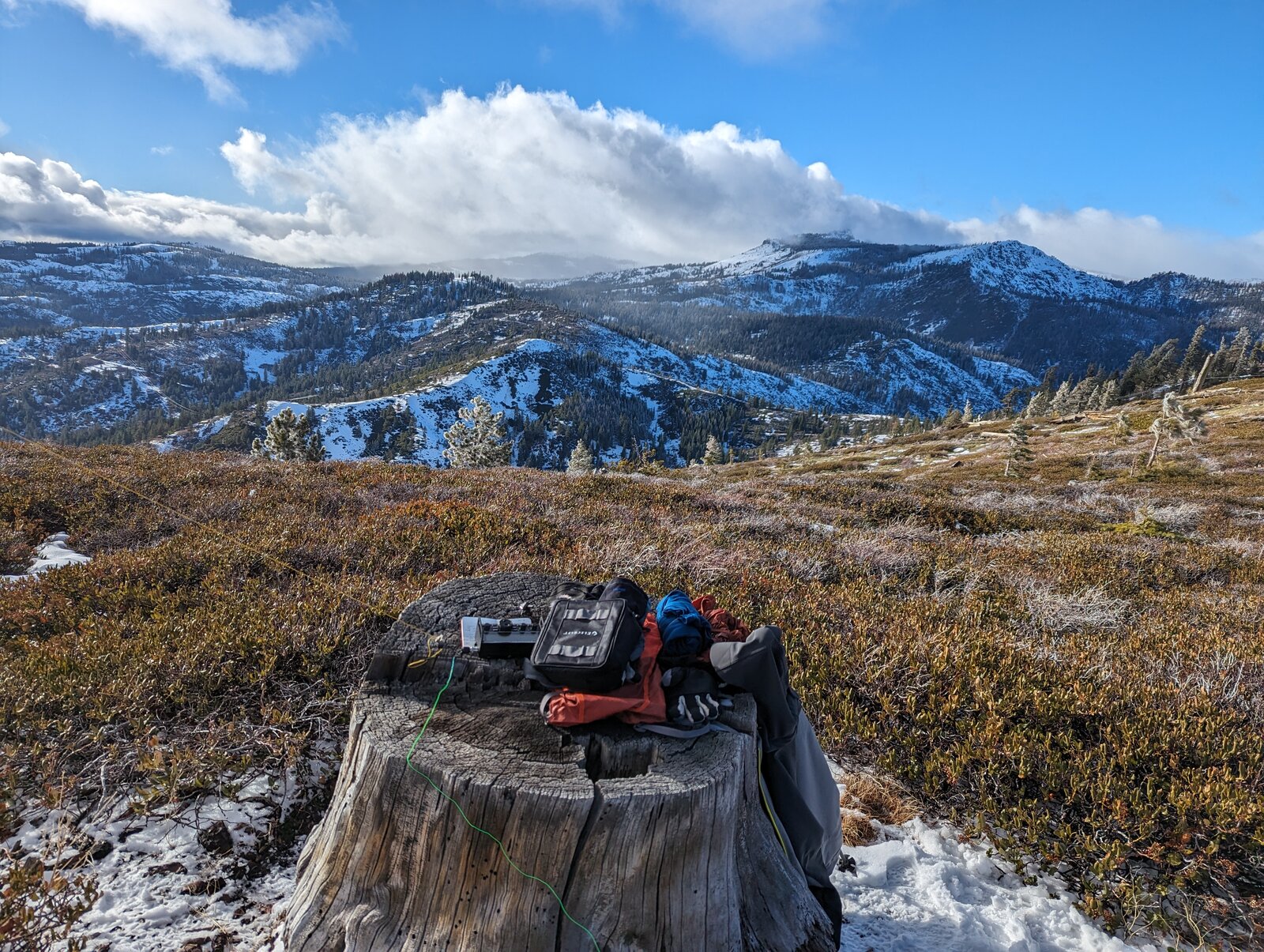
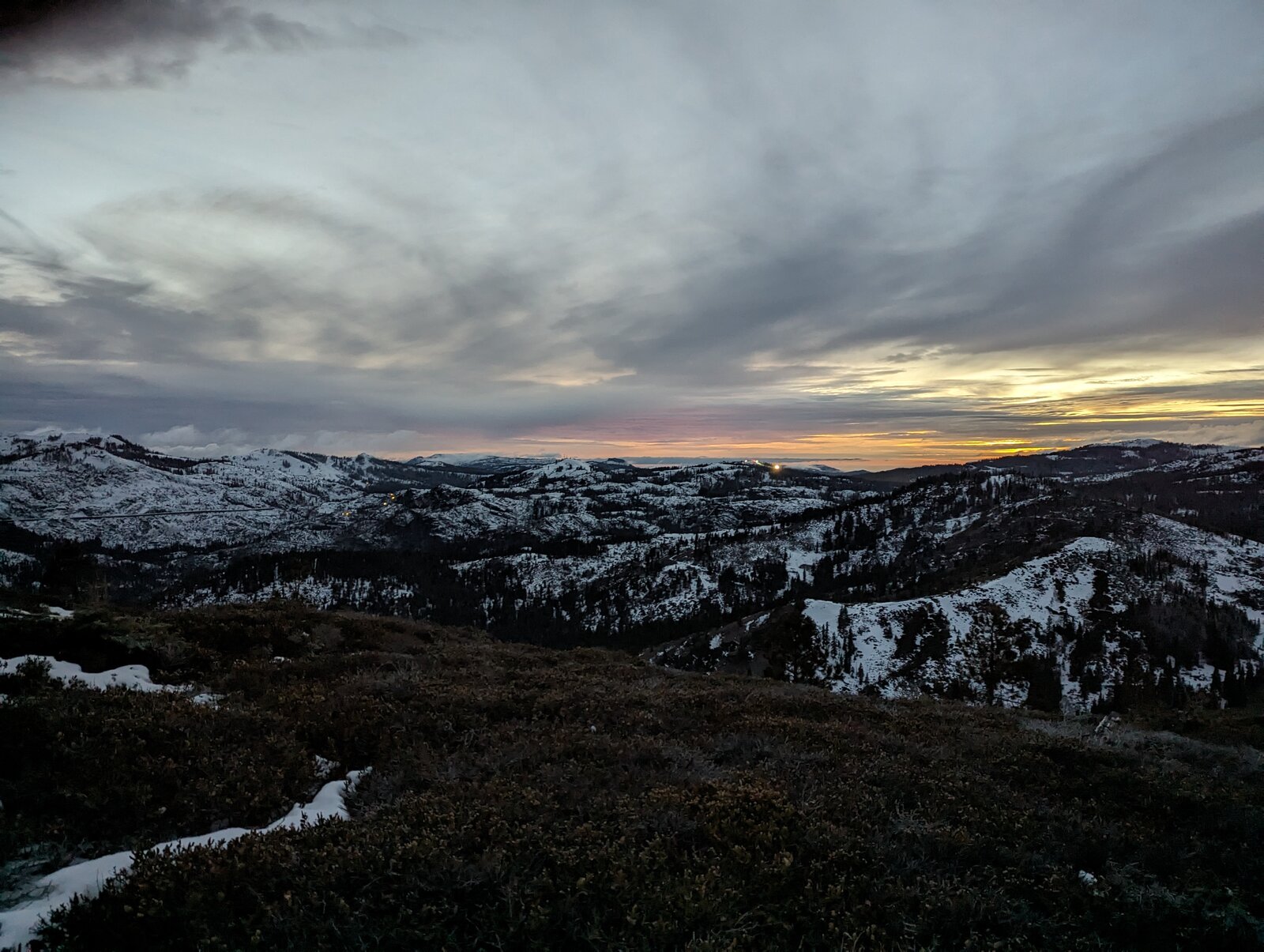
The top is broad and open, covered in low brush, with only a few small trees, so bring a mast. An old stump makes a handy operating table. There are views across to the surrounding peaks.
Radio
All of my contacts here have been SSB on HF. On 30 December 2023 I made 14: 7 on 20 m, 6 on 10 m and 1 on 15 m. On New Year's Eve 2023 I made 6, 3 each on 40 m and 20 m. On New Year's Day 2025 I made 5 on 20 m, and in June 2026 I made 10, 6 on 40 m and 4 on 20 m. Winter activations earn the 3-point seasonal bonus. I have had no noise, and I had cell service on the summit every time (Google Fi, T-Mobile).
Tracks and map
GPX: W6-NS-181-Donner-Ridge-KC6X.gpx. It holds my hike up and down on 26 June 2026, with waypoints for the trailhead lot and the summit.
Map: W6 SOTAfest 2027 CalTopo map. Open the folder for W6/NS-181 Donner Ridge for the activation zone, tracks and photos.