
Lowell Hill Ridge is an easy 6-pointer when the gate is open: a dirt road to within half a mile, then a ten-minute level walk to a bench with a view. I have activated it three times: 30 December 2023 with Brian AB6D, in snow and fog; 28 September 2025; and 26 June 2026.
Getting there
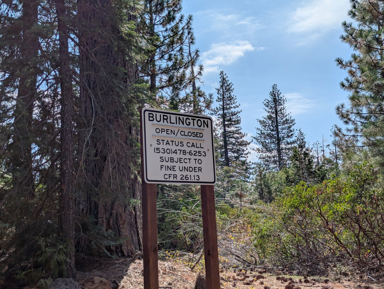
From I-80 take exit 161 and follow Highway 20 west for about 8 miles. Turn right (north) onto the dirt road at 39.31690, -120.72473, where there is a gate. The gate closes seasonally; a sign there reads “Burlington — open/closed — status call (530) 478-6253”. If it is open it is nearly a drive-up; if it is closed it is a hike from the highway. From the gate it is about 2 miles of dirt road, fine for a sedan, to where I park.
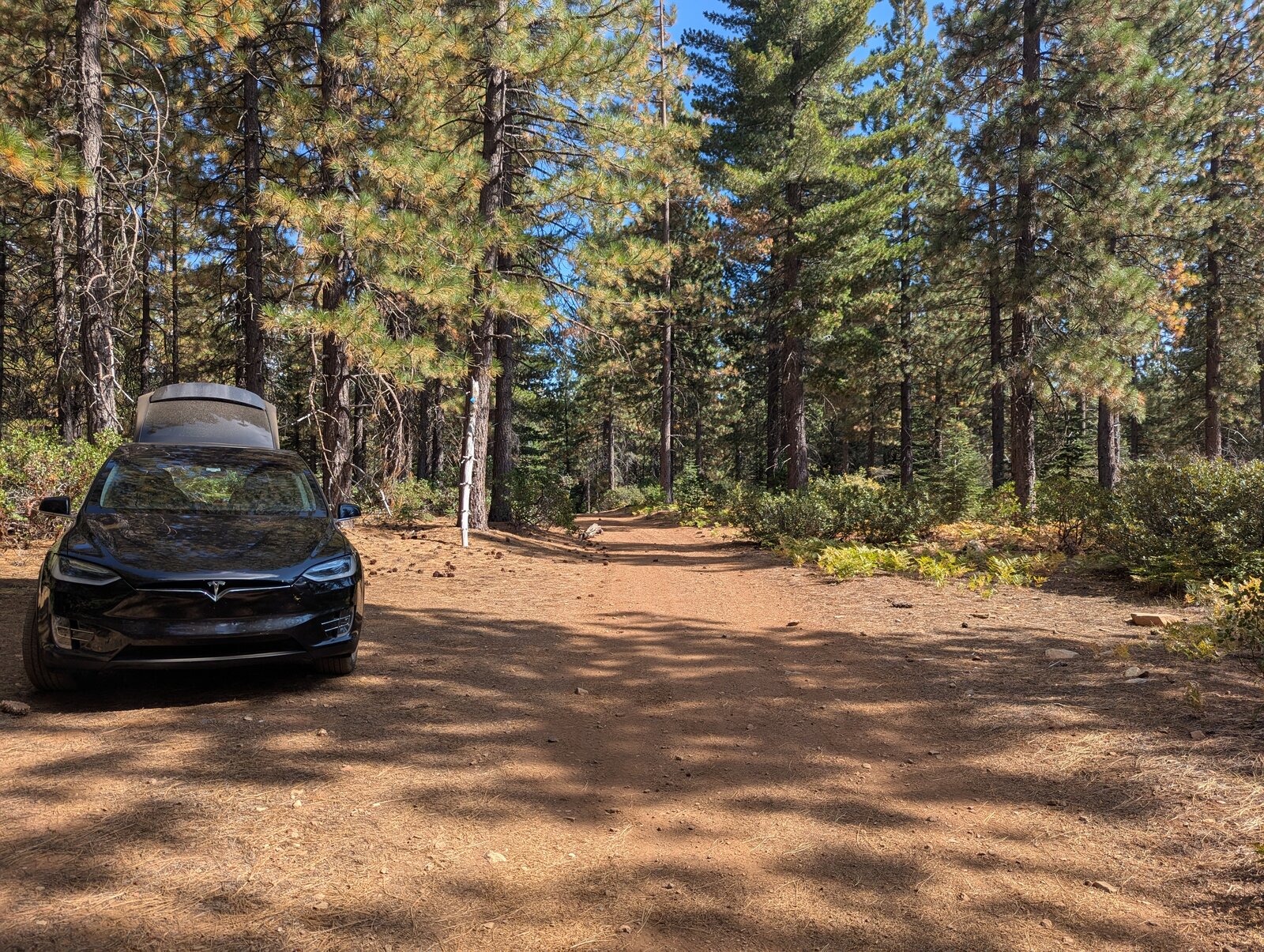
In 2023 and 2025 I parked at 39.32256, -120.69197. In 2026 I drove a little further along the track, to 39.32258, -120.68934. In September 2025 I drove it in a Tesla Model X.
Each time, I get a little more lost in the maze of OHV roads, and a little closer to the activation zone by car. I bet one of these years I will drive right to the bench. It certainly seems doable.
The hike
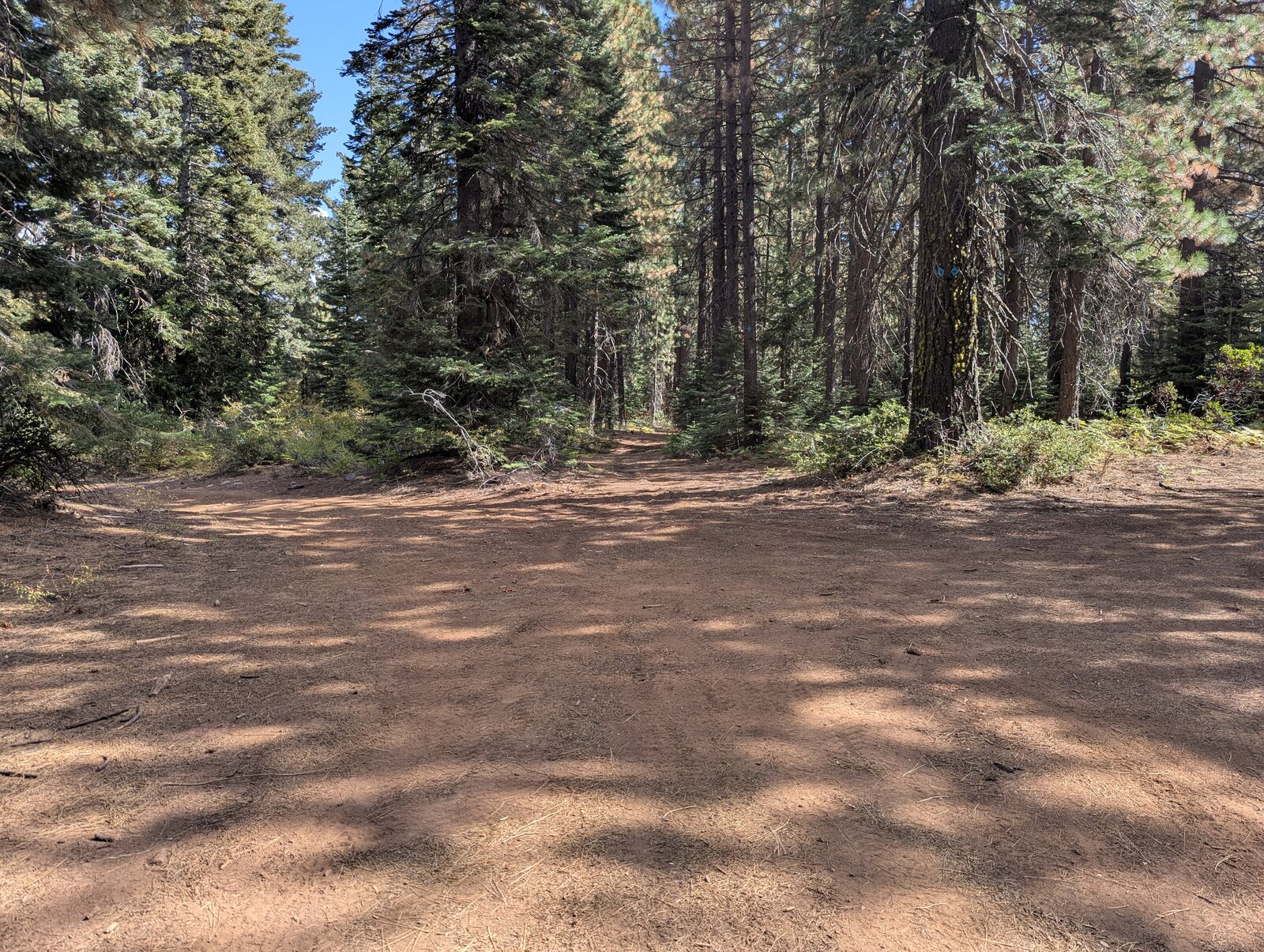
From the parking spot follow the track east through the forest to the bench: 0.5 miles and nearly level. It takes about ten minutes each way.
On the summit
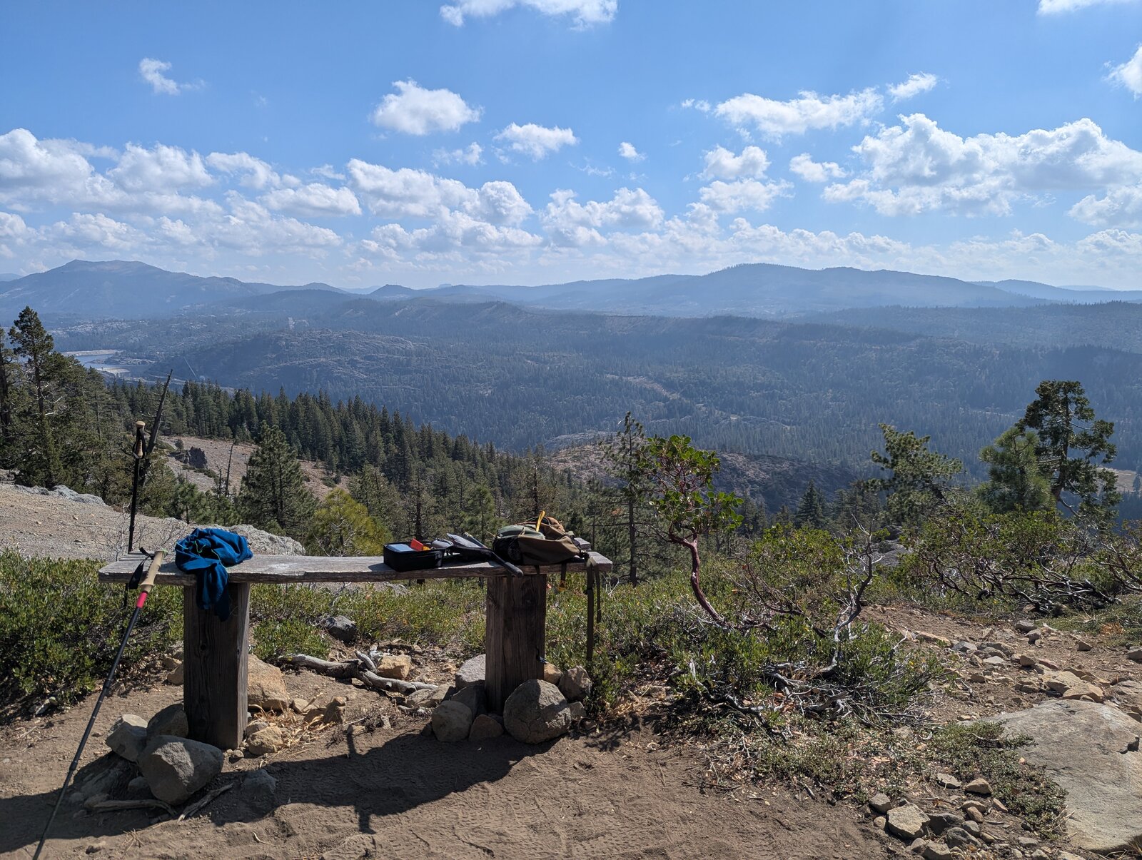
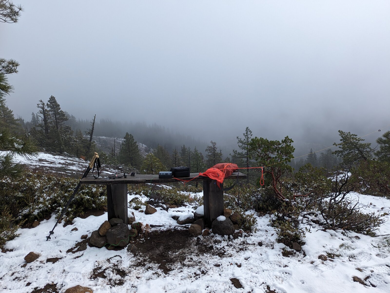
I operate from a wooden bench at 39.32214, -120.68441, on the east end of the ridge, where the ground opens up and the view is wide. The bench is inside the activation zone. Around the bench are huckleberry oak (Quercus vacciniifolia) and Mahala mat (Ceanothus prostratus), and in June the gravel was full of wildflowers.
Radio
All of my contacts here have been SSB on HF. In December 2023 I made 13, 12 on 40 m and 1 on 10 m, and Brian made 8. In September 2025 I made 7, 6 on 20 m and 1 on 40 m. In June 2026 I made 6, 4 on 20 m and 2 on 40 m. I have had no noise, and I had cell service every time (Google Fi, T-Mobile).
Tracks and map
GPX: W6-NS-306-Lowell-Hill-Ridge-KC6X.gpx. It holds my walk in and out on 26 June 2026, the dirt road from the gate as drawn on my 2025 map (not a recorded track), and waypoints for the gate, both parking spots, the bench and the summit.
Map: W6 SOTAfest 2027 CalTopo map. Open the folder for W6/NS-306 Lowell Hill Ridge for the activation zone, tracks and photos.