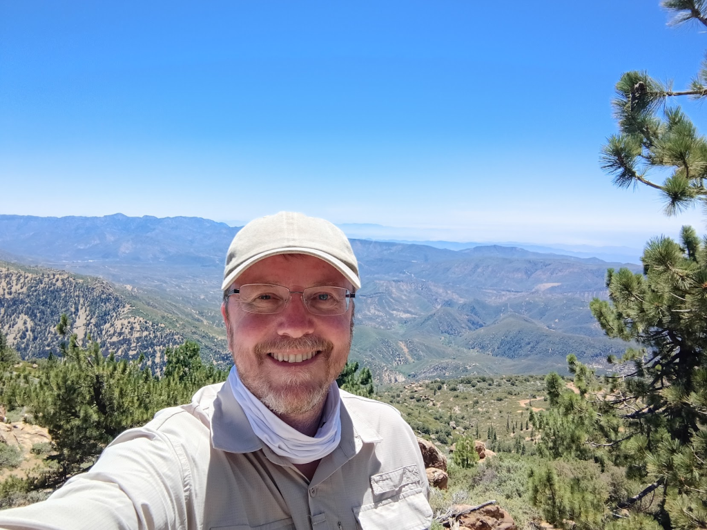
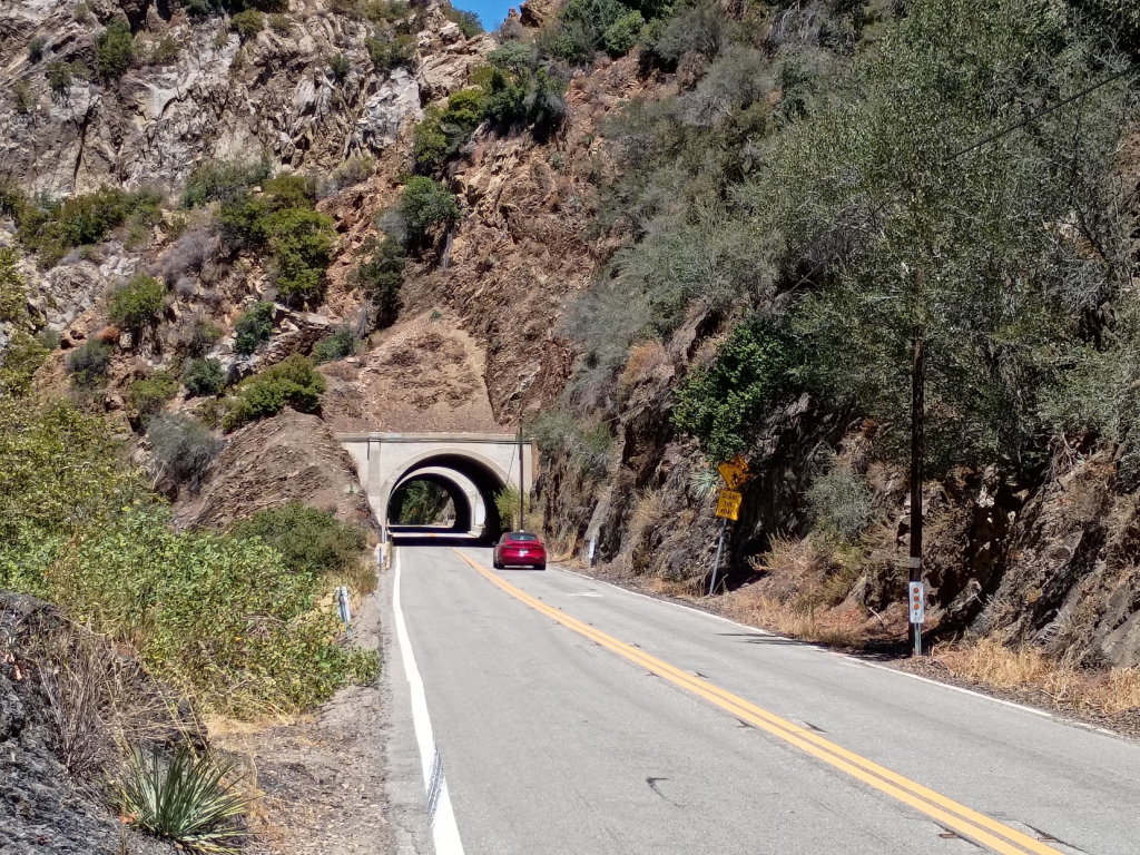
This is a short, medium difficulty hike but a long drive to get to the trailhead. I left my house a bit after 6am or so and started on the 100-mile drive to the trailhead. The area between Ojai and Frazier Park is known to me from my motorcycle days and it’s a rather picturesque part of SoCal. The boring bit is getting to Ventura and towards Ojai. Once you turn off to highway 33 you enter wilderness, also known as Los Padres National Forest. This is a rather nice and well-maintained road with a couple of tunnels dating from 1931. After you climb past 3000 feet you get to the turnout to Pine Mountain Ridge Road.
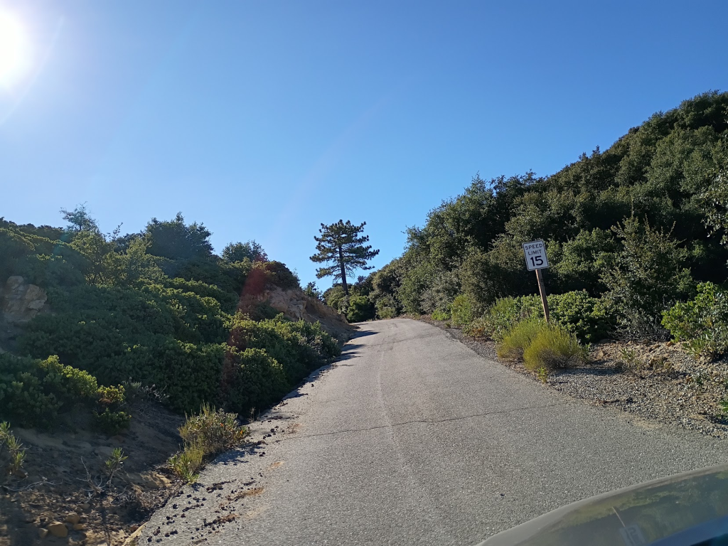
In my posting about Mount Gleason I talk about the forest roads hidden away. This is one of those, or at least very similar. The good news is the pavement is in very good shape with no potholes or washouts. The bad news is this is a one lane road with occasional space for two meeting vehicles. And it’s rather winding, all seven miles of it. However, I got lucky and encountered no downhill cars on the way up.
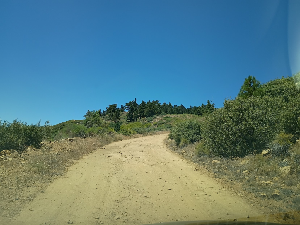
One thing to be aware of is the last mile is all dirt road. Some of it was smooth, some of it had some unfriendly-looking rocks. When you drive at 5 mph traveling only a mile does take some time. However, my Corolla made it without any issues (apart from getting a bit dirty).
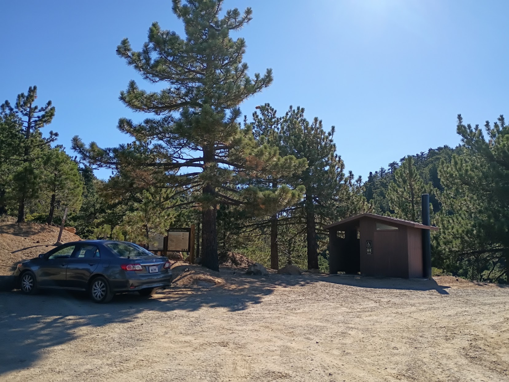
At the end is a little roundabout with parking for about a dozen cars. There’s also a restroom (the non-flushing kind) heavily guarded by a healthy number of flies. I saddled up and headed towards the start of the trail. In preparing for this hike I knew there was a fork in the road after only about 50 yards or so. I needed to take the middle path. The trick here is realizing that the trail is hiding behind a big boulder in what looks like a 2-path fork. There I bumped into Laura who was hiking the peak as well so we teamed up and headed for the top.
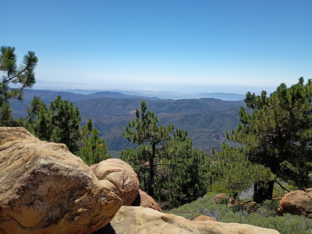
This was actually a more difficult hike than the easy one-mile trek I anticipated. The first section is somewhat steep. Not difficult but enough to get your heart pumping. Then there’s a false peak with a somewhat flat area before you get to another steep section after which you are challenged with a last quick climb onto some big rocks at the very top of the peak. There you are rewarded with some stunning vistas of the surrounding areas. Apparently you can see the Channel Islands on a clear day but the fog was covering the ocean in the distance.
I had received my Sheng K1 two days earlier which got promptly upgraded to the latest NR7Y firmware. This time around I decided not to bring my homemade yagi and opted instead for a 48-inch telescoping whip antenna from Smiley Antennas.
Shortly after calling CQ on 144.100 I heard a faint signal. I got the first few letters but I just struggled to hear through the noise. I actually gave up but the caller thankfully didn’t as a few minutes later the signal got through just enough for me to hear. It was Bill (K1CT) all the way from San Diego some 200 miles south of me. After that I got Jon (NT6E) in Torrance, Huston (KK6WT) in nearby Newbury Park, David (N6AN) in Pasadena, and finally after a bit of difficulty Alex (K6MAA) in La Crescenta. Not bad for 2m CW!
I switched to 144.200 SSB and got Roy (WB9RKN) from Del Mar near San Diego. This was the contact that almost failed. I don’t think the Shengs do sideband very well as this time as a few times before I got reports my audio was very garbled. Maybe future firmware updates will fix this issue, fingers crossed.
Next was HF and I got my random wire up in the air. I normally start on 20m around 14.063 as I usually have the best luck there. Jon (N7CFR) got back to me, apparently on a trip in Oregon from his reply. Then followed Kelly (AJ6KZ) on Saddle Peak (W6/CT-274) some 50 miles southeast of me. After that I had no more luck on 20, 30, or 40m. The bands seemed dead. Then it was just a matter of packing up and driving back home.
I enjoyed this hike and would definitely do it again. In fact, I may go back there to the same location and hike to nearby Haddock Mountain and activate that.